
Difficulty:medium
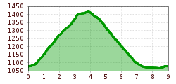
Length:94.5 kmDuration:3:45 hElevation uphill:877 m
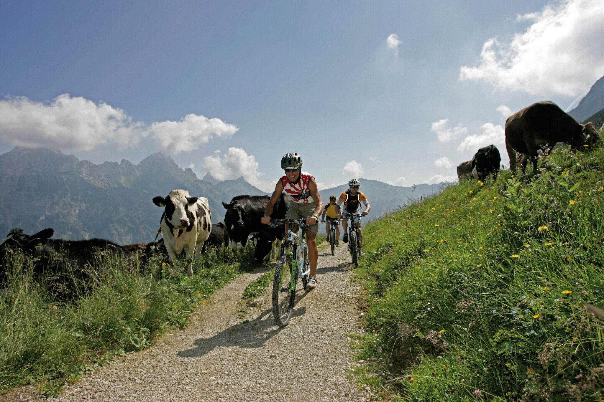
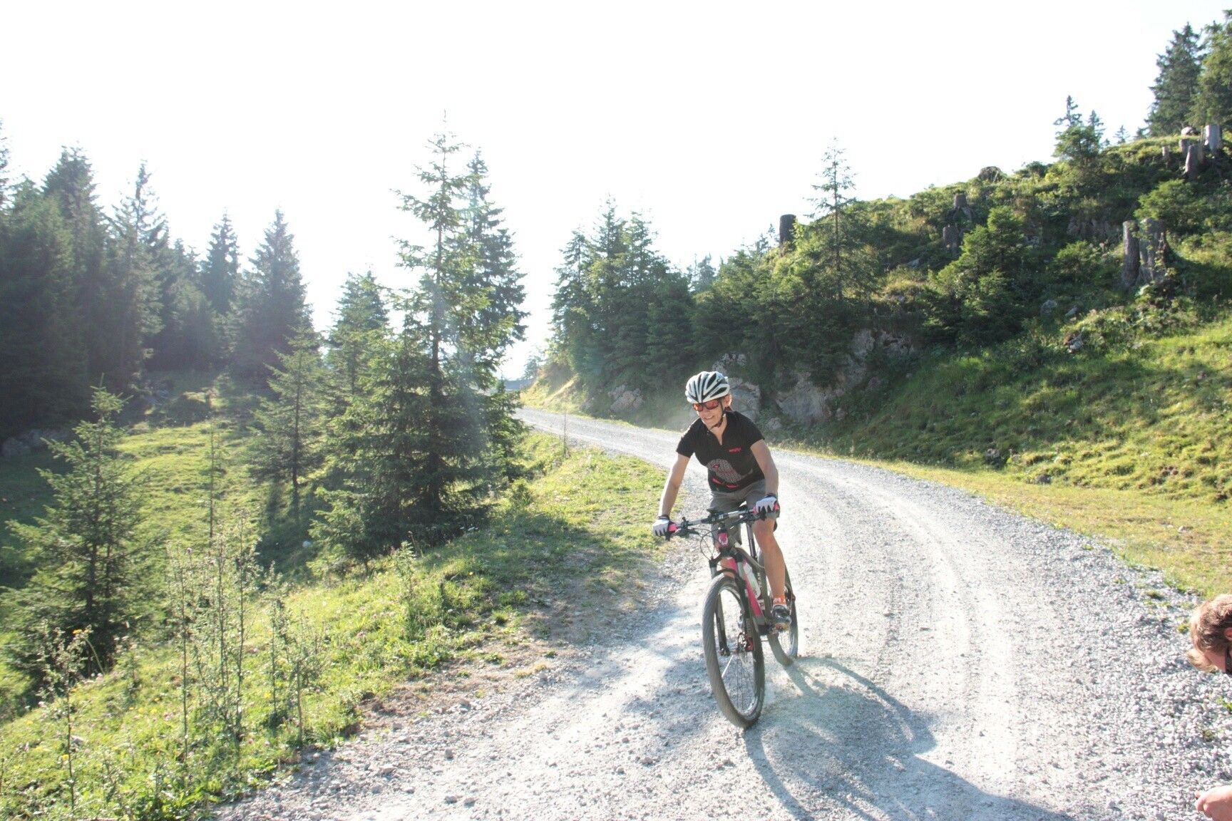
Short description:Wonderful mountain bike route to the Stuibenalpe.Such a circular route is pure enjoyment for every biker. Quick after work or right after breakfast. The Stuibenrunde is not too long and can be done within a good timeframe.Top riding path, top dining option at Stuibenalpe, and a beautiful natural backdrop.Quality of experience: ******Recommended season:MayJuneJulyAugustSeptemberOctoberProperties:LoopScenicRefreshment stops availableFamily friendlyGeological highlightsBotanical highlightsFaunistic highlightsInsider tip
Description:
For advanced bikers, there are 15 bike routes totaling 150 kilometers, which have been approved and uniformly signposted by the state of Tyrol. Additionally, the Tannheimer Tal is the starting point for the newly designed "Bike Trail Tirol." The large circuit with over 800 kilometers and many connecting stages with another 500 kilometers are designed so that bikers can put together their personal route.
Bike paths away from roads
You can explore the surroundings on the "Radwanderweg Tannheimer Tal," which passes the most beautiful corners of the Tyrolean High Valley over 40 kilometers. The bike paths are away from the federal road and uniformly signposted. Via Schattwald toward Rehbach, you reach Ober- and Unterjoch in the Allgäu – pause for a moment at the moor pond "Floschen." Or pedal through Tannheim and Grän further on the new lakeside promenade at Haldensee to Nesselwängle. A detour to the Vilsalpsee nature reserve will surely please you.
The bike & mountain bike map Tannheimer Tal
The bike & mountain bike map Tannheimer Tal shows 15 routes, color-coded and numbered. Route descriptions, elevation profiles, length, and difficulty levels of each route are on the back. All routes are combinable and clearly signposted. Additionally, MTB routes of neighboring regions are visible. The blue marked routes are for leisure riders. Medium difficulty routes are marked in red, and black signs indicate a sporting challenge.
The bike & mountain bike map can be purchased for €8.90 at the Tannheimer Tal Tourist Association.
Follow the color...
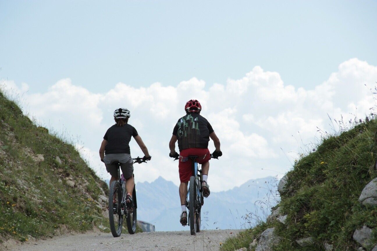
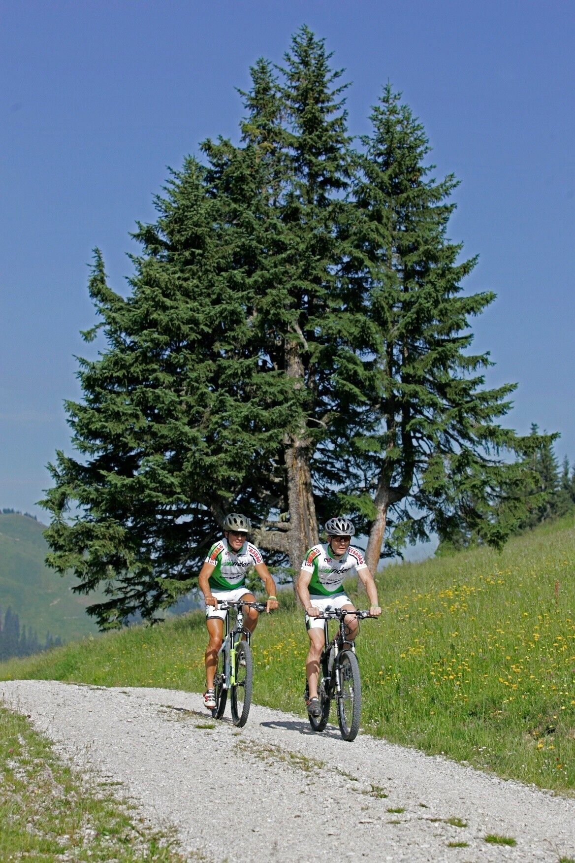
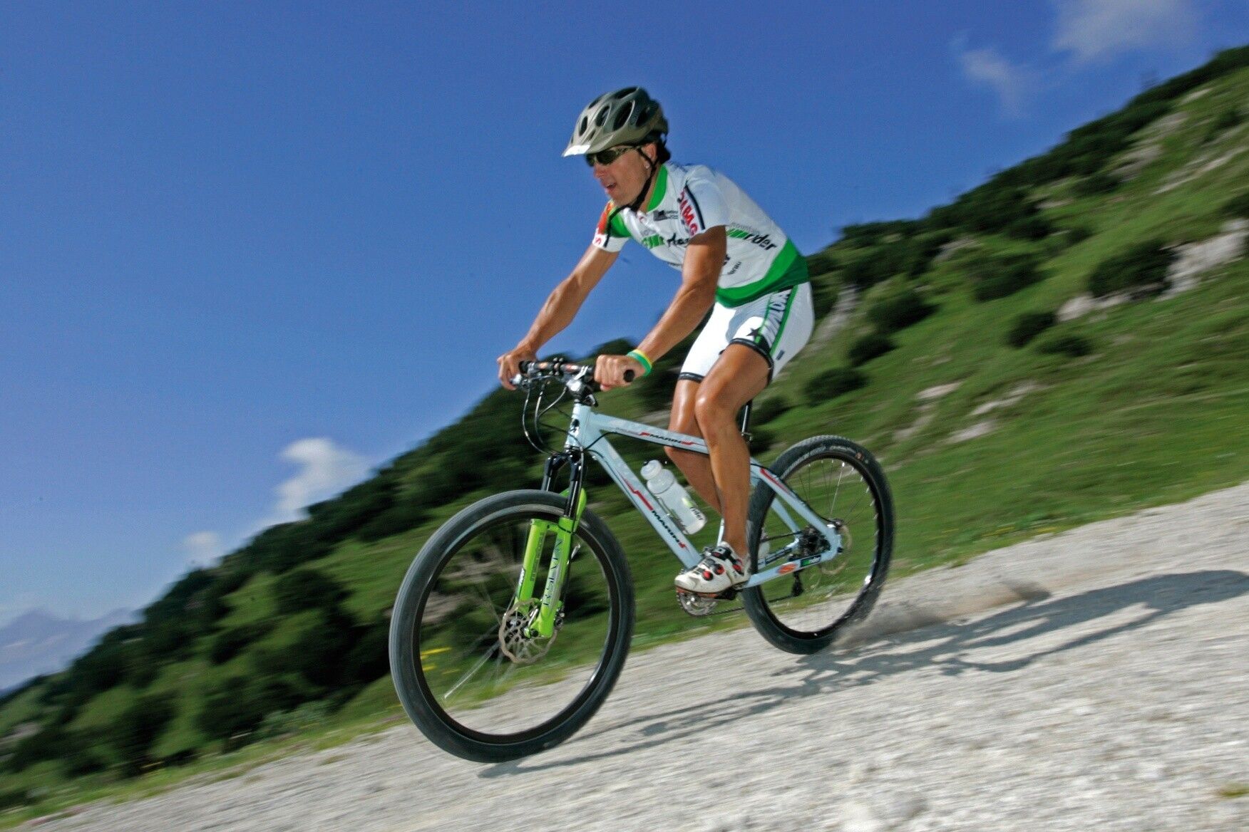
The right mix is key – this is true for the mountain bike offerings in Tyrol's Tannheimer Tal. Anyone who pedals here can choose from 15 routes and more than 300 mountain bike kilometers for every skill and fitness level. All routes can be combined and are clearly marked.
Blue route - easy
Mountain bike beginners or confident road riders as well as e-bikers follow the blue signs in the Tannheimer Tal. The consistently rideable paths have only minimal climbs and are ideal for family outings in the saddle, where boredom definitely won’t occur: The Kneipprundweg, for example, offers a refreshing descent depending on mood. After all, the nearly six kilometers and 198 meters of elevation are much easier with well-circulated legs.
Red route - medium difficulty
Those who see red in the Tannheimer Tal will be pleased. These are medium-difficulty and scenic mountain bike routes that require sporty cycling skills and particularly defensive driving behavior. A scenic tour tip: On the around 11-kilometer "Haldenrunde," bikers cover nearly 500 meters of elevation and are rewarded at the top at the Berghotel Zugspitzblick with a wide view of the Tannheimer Tal and the mountains Rote Flüh and Gimpel, the landmarks of the Tyrolean High Valley. In good weather, the view even reaches Germany's highest mountain.
Black route - hard
In total, 3 routes are classified as hard – not least because of their length – demanding stamina and mountain biking experience. Like the route to Raaz Alpe, with 47 kilometers and 1,512 meters of elevation awaiting the mountain bikers. The variety of the Tyrolean High Valley is shown in the "Valley Circuit": Over 67 kilometers and 1,280 meters of elevation, the route offers the full spectrum of mountain biking. By the way, bikers can join or leave the "Tour de Tannheimer Tal" at any point.
---> Tip: The Tannheimer Tal is the starting point for the Bike Trail Tirol, the longest connected circuit for mountain bikers in the Alpine region with 1,000 kilometers.Directions:
Starting at the municipal office in Schattwald, we first head west on the federal road. After about 100 meters, just before the Gasthof Post, we turn left and follow the road through Schattwald. After the last houses, the gravel path begins. We follow this path. The path runs nicely through the forest. After a few curves, we can gradually see our destination. We continue on the gravel path to the alpine pasture. After a delicious snack platter, we turn right and follow the gravel path to Zöblen. In Zöblen, we cross the federal road, pass the wooden bridge, and follow the bike path back to Schattwald. At the next opportunity, we turn left, cross the brook, and follow the road back to the starting point.Tip:
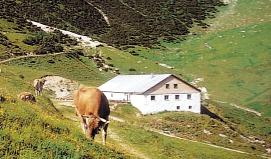
Hearty snacks at the Stuibenalpe
Safety guidelines:It should be noted that mountain biking can have an increased risk of accidents and injuries. Despite careful route planning, a basic risk always remains.
Preparation through endurance training, appropriate technical training and education, as well as personal caution reduce accident risk and dangers. But please never forget that the weather in the mountains can change very quickly. Stay on the marked paths.
Ride “on the safe side” in the Tannheim Valley
In Austria, mountain biking is generally prohibited on all forest and hiking trails by law, except for expressly designated mountain bike routes. Forest road entrances are sometimes marked with driving bans and additional signs like “biking prohibited.” Hiking trails do not have these prohibition signs but are also forbidden to be used by bikes.
Tourismusverband Tannheimer Tal
Stuiben Sennalpe
