")
Difficulty:easy
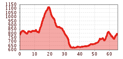
Length:38.0 kmDuration:4:00 hElevation uphill:314 m
Tschirgant circular route
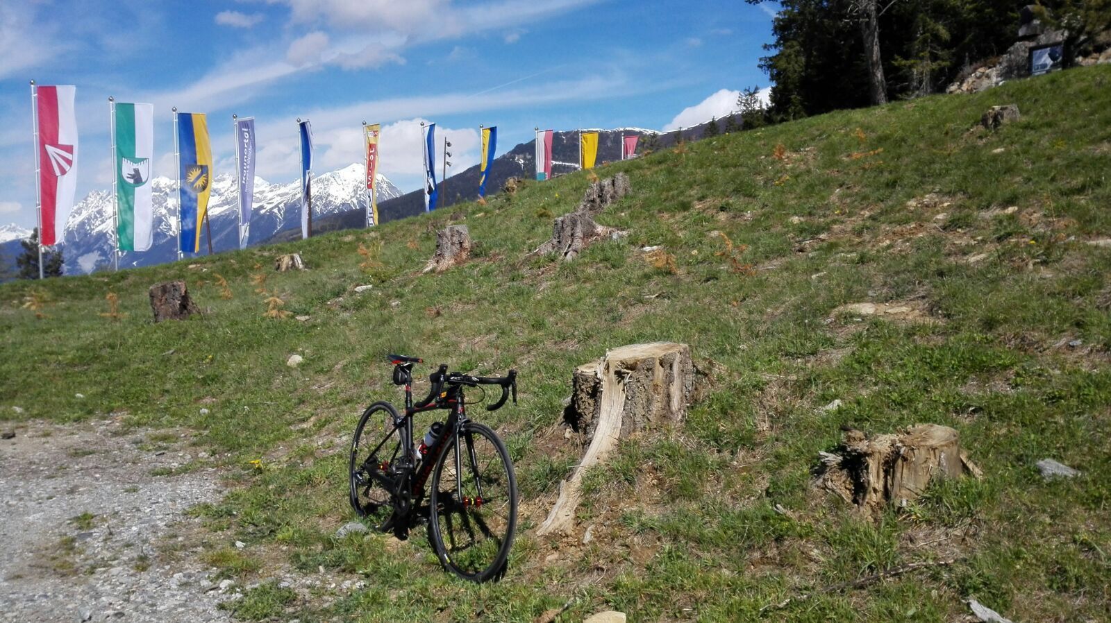
Starting from the sports grounds in Imst, cycle in the direction of Nassreith through the Gurgltal valley. Follow the Bundesstraße [A-road] B189 until you reach the highest point of this tour, the Holzleitensattel ridge. Cycle downhill to Obsteig on a fast descent. From there continue to cycle via the Mieminger Plateau all the way down to Telfs. Return to your starting point via the Inntal valley following Bundesstraße [A-road] B171, mostly on flat terrain with only a few short ascents.
Duration: 2-3 hours
