Arrival by public transport
at present, local buses are not yet equipped with cycle racks - to be announced soon
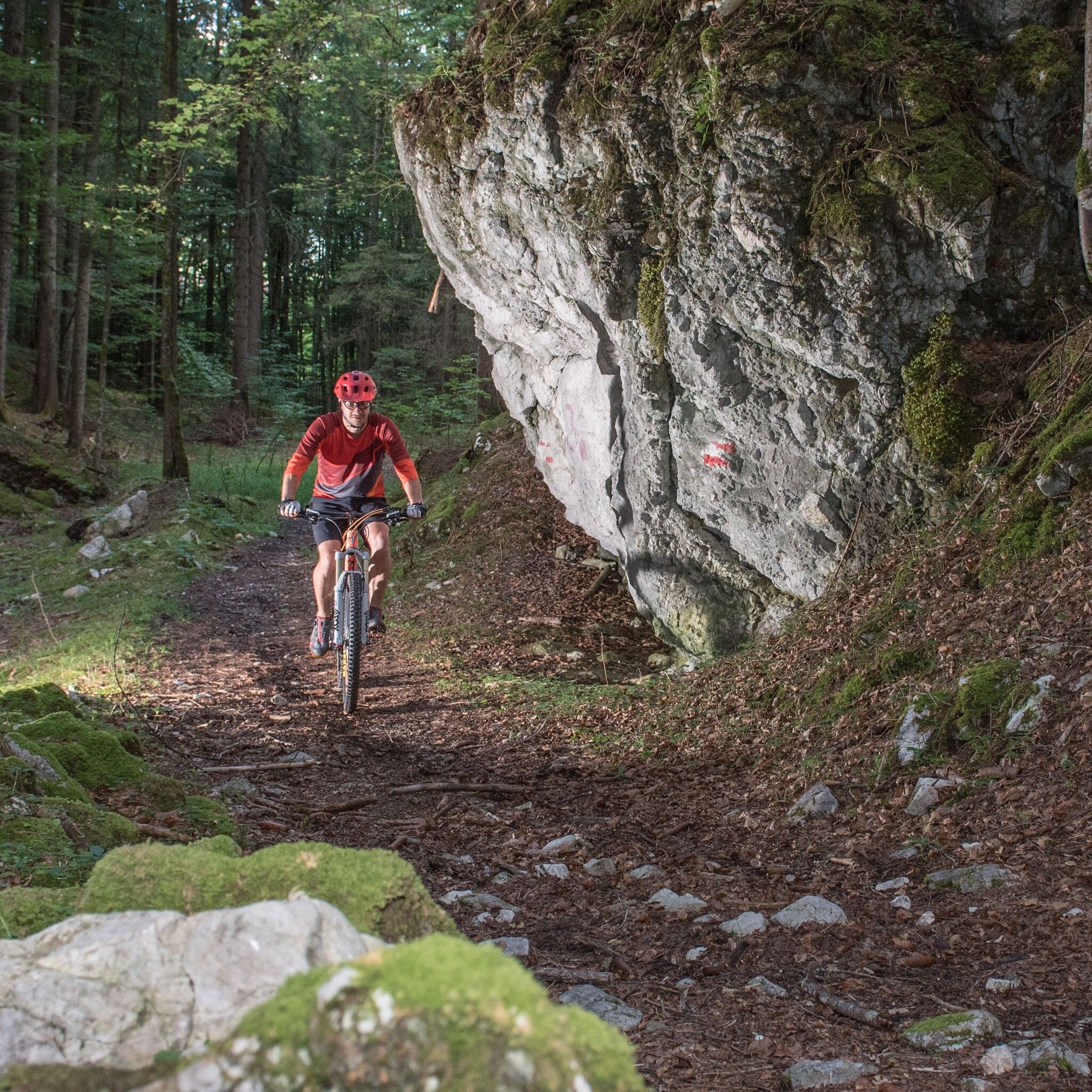
Who can make it to the top without getting off?
Winter Closing
All MTB and bike routes are closed for safety reasons from 1st November until 1st April of the following year.
These routes are not cleared and many MTB routes are exposed to avalanches. Depending on snow conditions, some routes may need to remain closed beyond 1st April. For more information and details see your local tourist office.
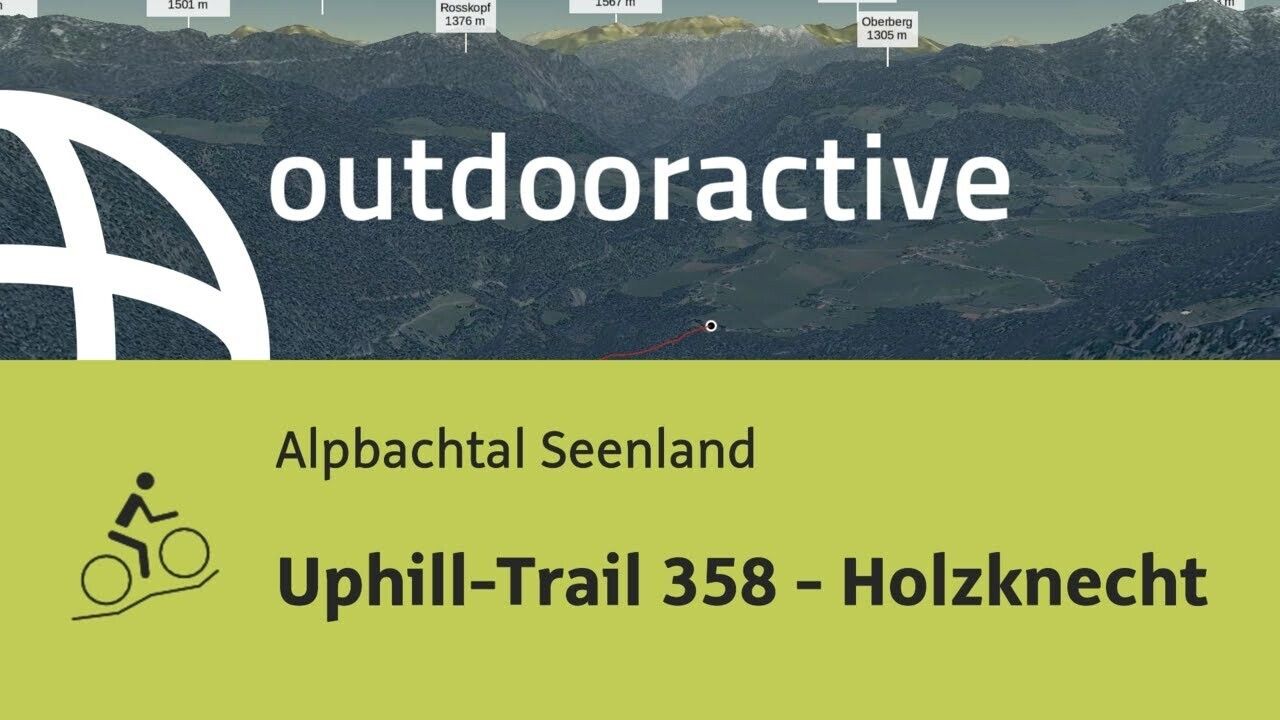
Helmet, sun glasses, bike shorts, rain proof jacket, hat, drinking bottle, map, first aid kit, mobile phone, camera, bike lock, replacement inner tube, mini tool kit, bike pump, puncture repair kit, sealing (repair) tape, sun cream, energy food (muesli bar), snack, ...From Audörfl follow the Audörfl looped hiking trail, the uphill trail branches off on to the L4. This tour is ideal for E-mountain bikes. Follow the L4 to Kramsach.
at present, local buses are not yet equipped with cycle racks - to be announced soon
Brandenberg village centre

")
