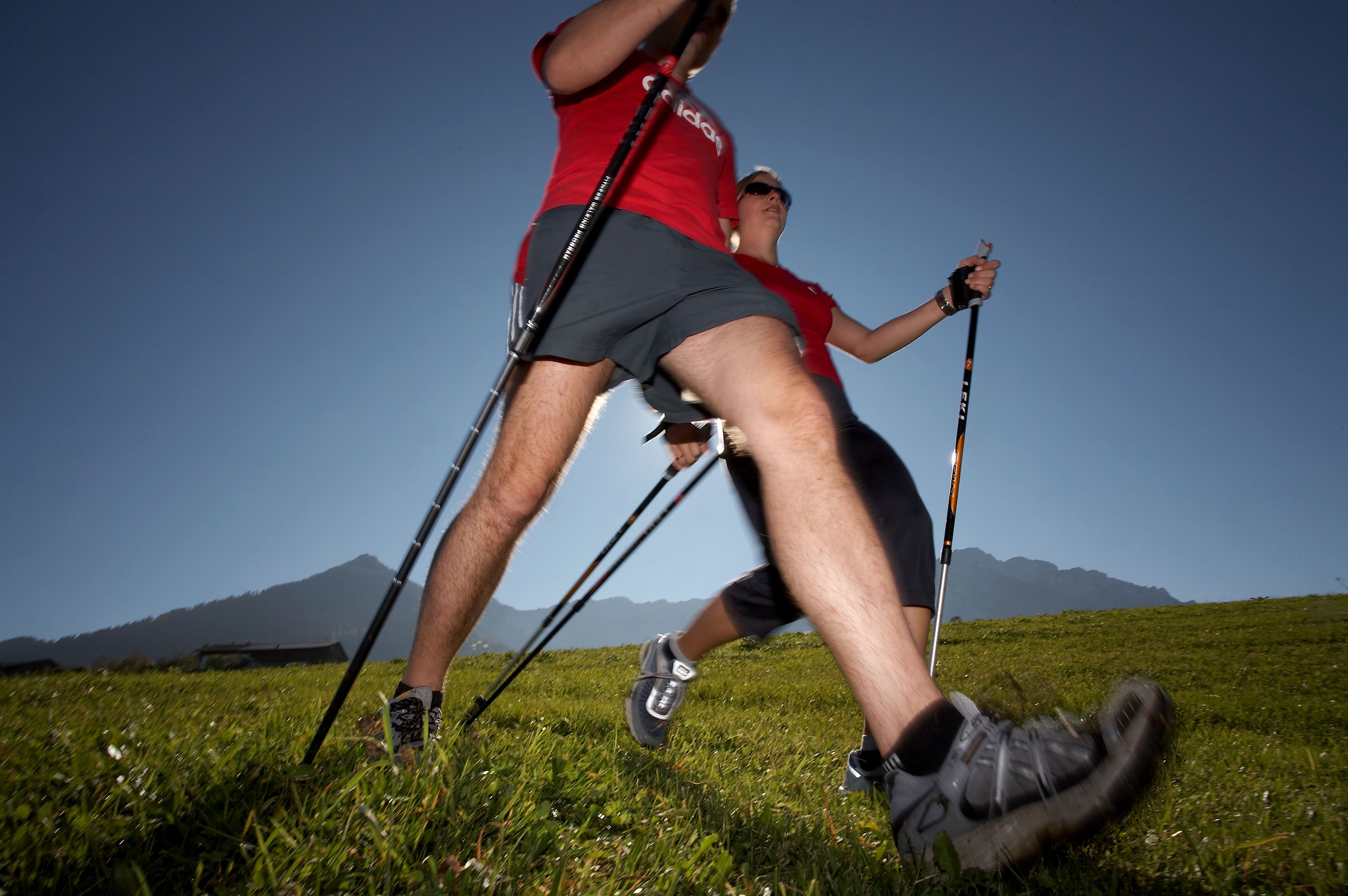
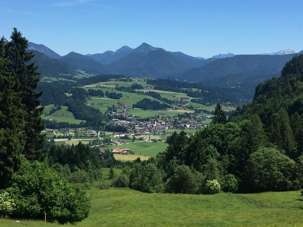
Bichlach Runde

Kössen / Chiemgauer Alpen
Route length: 9.0 km
Duration: 2:00 h

Bichlach Runde

Tour information

  • Length: 9.0 km
  • Duration: 2:00 h
  • Elevation uphill:53 hm
  • Elevation downhill:50 hm
Highest point628 m

Starting point

Infobüro Kössen

Finishing point

Infobüro Kössen
  • Fitness level 3 / 6
  • Technique 3 / 6

Best time of year

  • January
  • February
  • March
  • April
  • May
  • June
  • July
  • August
  • September
  • October
  • November
  • December

Description

From tourist office Kössen on the Mühlbachweg to Staffenbrücke. Continue along the Achendamm until the soccer field. Pass the underpass through and walk to the right past the Annakapelle by the settlement of Mooslenz. Follow the hiking trail and take the underpass to Gundharting, then left to Bichlach. Pass by the Riedlwirt and continue the road until the sawmill, turn right, along the golf course to the district Leitwang. After the farmer Egerdach right and then left in direction to Niederachen. Across the roundabout and the Achenbrücke and through the Alleestraße back to the starting point.

Getting here

More tours in the surrounding area

Newsletter

The mountain is calling? So does our newsletter!

In our monthly newsletter we reveal the best holiday tips for Tyrol.