Arrival by public transport
busline 4104
bus-stops Hintertux Gletscherbahn, Hintertux Feuerwehr, Madseit Alpinhotel Berghaus
Romantic winter hike through snowy forest and beautiful winter landscape
Winter hiking boots with grippy treaded soles
Clothing suitable for winter conditions: breathable, warm, quick-drying base layers, water- and wind-resistant outer layers, hat, gloves
Mobile phone with a full battery
Trekking poles
Sun protection
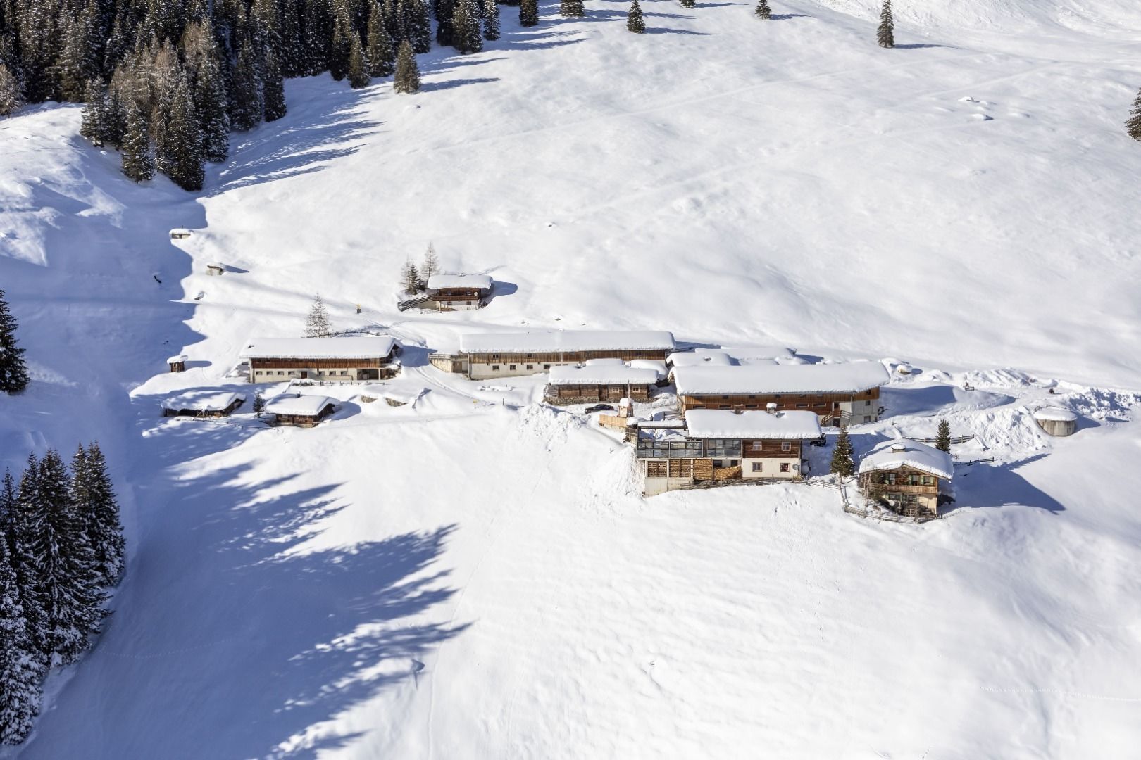
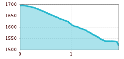
We start at the Bichlalm and follow the wide forest trail no. 17 out of the valley. After just under 1 km we turn right into the valley into the forest and hike to Hintertux into the valley. We come out of the winter forest and continue across fields covered in deep snow until we come upon trail no. 11 above Hintertux (house numbers 744 to 749c).
Here we decide whether to hike out of the valley on trail no. 11 and no. 12 to Madseit, or whether we prefer to go inwards to the end of the valley to the glacier lift.
busline 4104
bus-stops Hintertux Gletscherbahn, Hintertux Feuerwehr, Madseit Alpinhotel Berghaus
car parking Hintertux bottom station Gletscherbahn
