
Opening hours:Open today
Place:
Söll
:
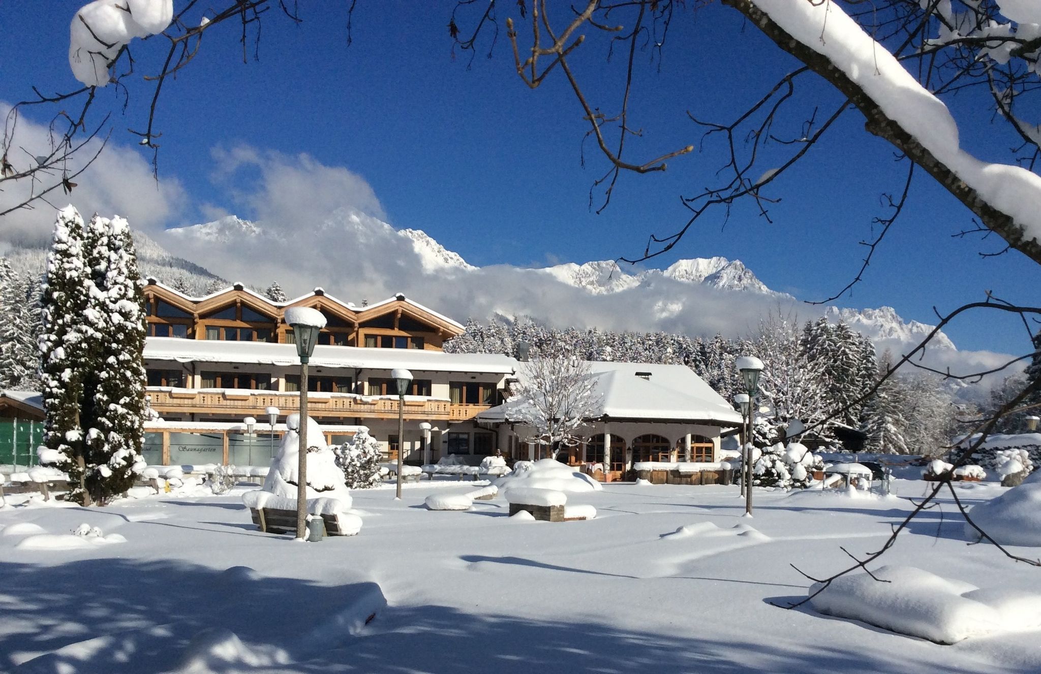
Restaurant, café
Walk through the forest, along the river, back to the village.
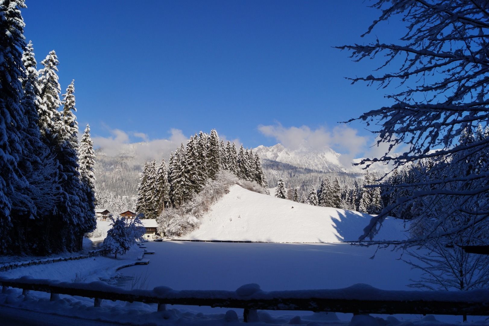
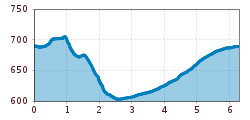
From the village center, go down through the Gänsleit district via the underpass to the dog walking area. At the Mühlboden bridge, turn left along the Weißache past the sewage treatment plant to Gasthof Oberstegen. From there, the path continues uphill to the Moorsee lake. Pass the Franzlhof farm and return to the starting point at the Söll tourist information office.
| Postbus stop “Söll Dorf”. More information at www.wilderkaiser.info/mobility |
| West Pölven public car park, Söll (689 m) – free |


