Winter hike Energy trail winter circuit

Söll / Kitzbühel Alps
Difficulty ratings: easy
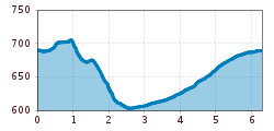
Route length: 6.3 km
Duration: 2:15 h

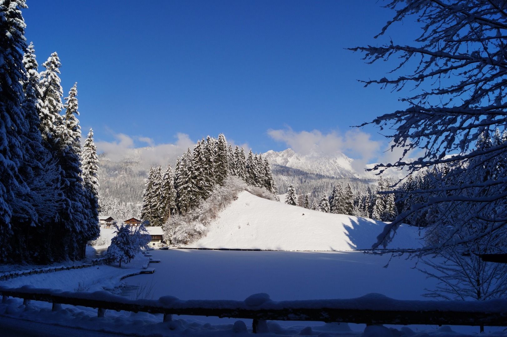
Walk through the forest, along the river, back to the village.
Tour information

  • Requirement: easy
  • Length: 6.3 km
  • Duration: 2:15 h
  • Elevation uphill:90 hm
  • Elevation downhill:90 hm
Highest point706 m

Starting point

Hiking starting point Tourist Info, Söll (689 m)

Finishing point

Hiking starting point Tourist Info, Söll (689 m)
  • Fitness level 3 / 6
  • Technique 1 / 6

Features

  • Circular route
  • suitable for pushchairs

Best time of year

  • January
  • February
  • March
  • April
  • May
  • June
  • July
  • August
  • September
  • October
  • November
  • December

Trail condition

The composition of the trail varies between asphalt road, forest trail and groomed winter hiking trail.

Equipment

Rucksack, sturdy hiking/mountaineering boots with anti-slip treaded soles, weather-appropriate hiking gear (breathable), a change of clothes, sun protection (sunglasses, sun cream, lip protection, headgear), waterproofs (rain jacket/poncho, pocket umbrella, rucksack protector), cold protection (hat, gloves), sufficient food and drink, hiking poles (height adjustable) if required, first aid kit incl. rescue blanket and bivouac sack, mobile phone with fully charged battery, headlamp, plastic bag for waste, hiking map, route description and information materials (GPX track), ID, insurance card, cash
Source: TVB Wilder Kaiser

Description

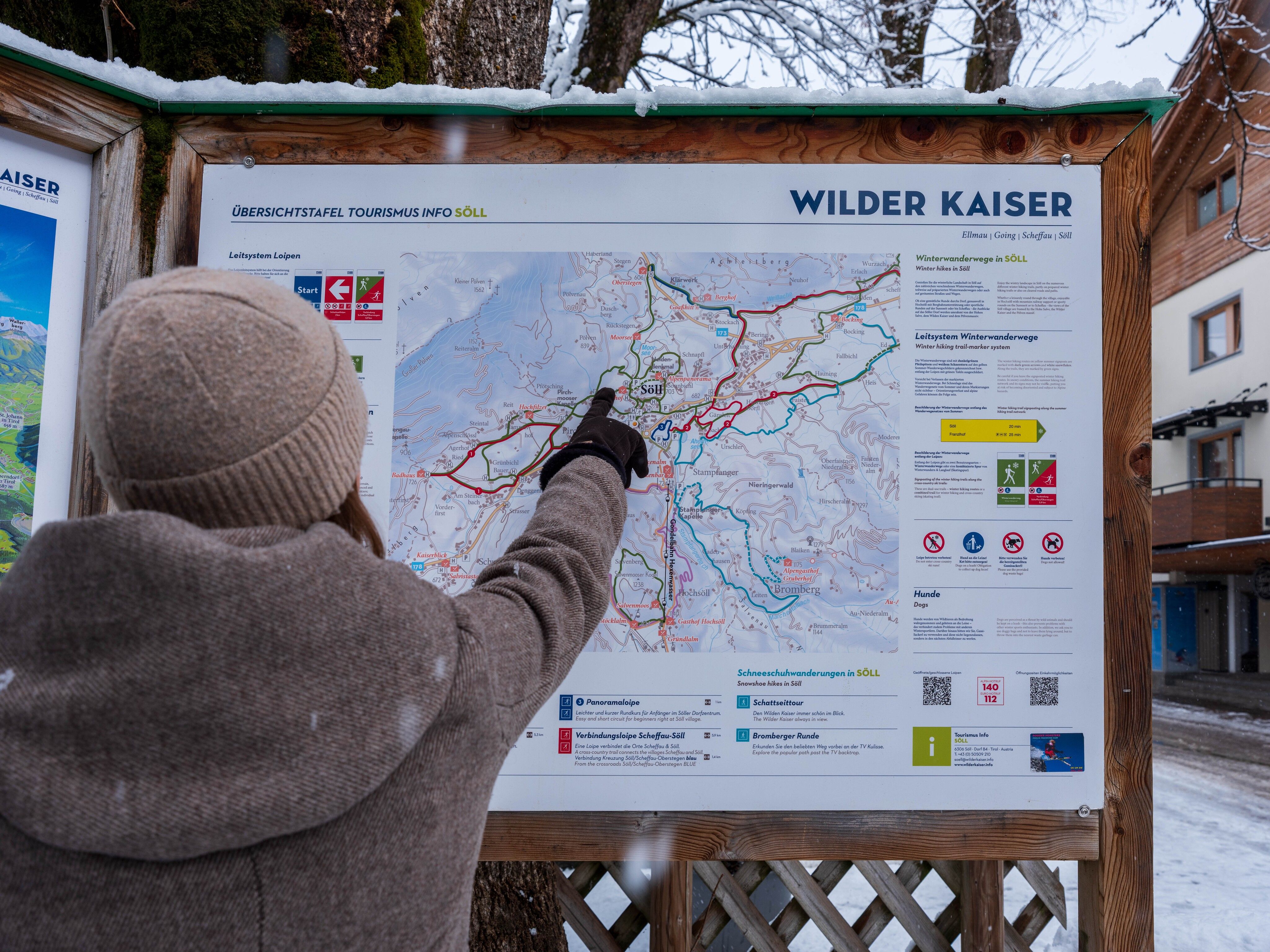
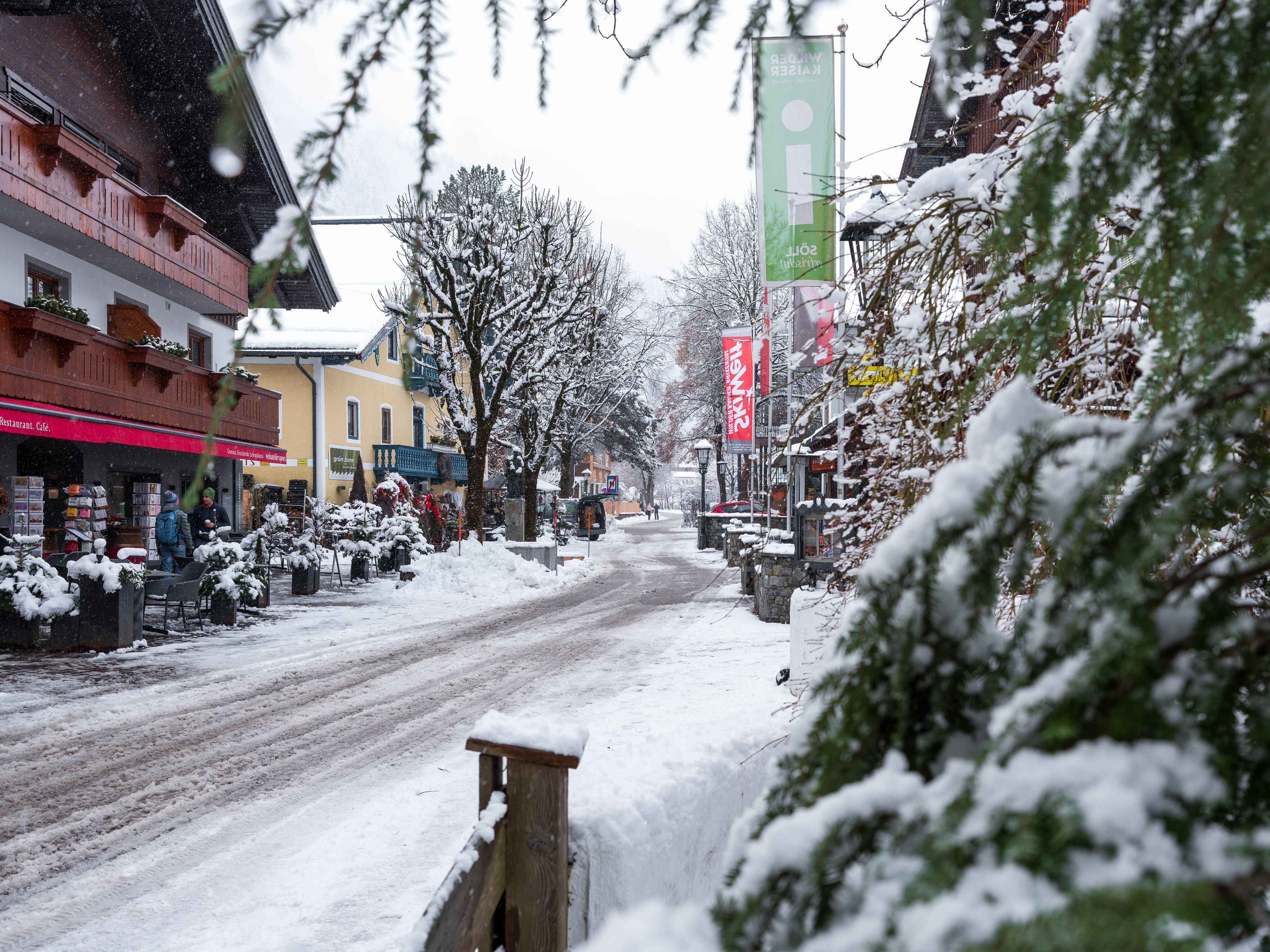
From the starting point at the Tourist Information Center, the route first leads across the village square, past the Hotel Eggerwirt and the fire station, and continues through the Gänsleit neighborhood. Turn left through the underpass, head down to the dog park, and continue to the Mühlboden Bridge. Turn left again and follow the path along the Weißache River. Passing the wastewater treatment plant, the route continues to the Gasthof Oberstegen. There, the ascent toward Moorsee begins. Once at the top, the trail leads past Moorsee and then continues toward Franzlhof. After passing Franzlhof, the trail finally returns to the village and to the starting point at the Söll Tourist Information Center.

Nearby huts and mountain restaurants

Getting here

  • Parking

    Heading from Wörgl, Kufstein or St. Johann on the B178 road, take the exit to Söll and then take the exit to Söll centre (“Söll, Zentrum”) at the roundabout. Turn left immediately afterwards and follow the road. Then turn right at the next intersection (opposite SPAR supermarket). West Pölven public car park is located to the east of the supermarket car park. The Tourist Info is in the pedestrianised zone.

    West Pölven public car park, Söll (689 m) – free

Weather

Today

light rain showers
18°C/9°C
0 km/h
Snow depth
Now: 0 cm,
Next snowfall: 11. Oct 2026
+3 cm
Go to weather forecast

More tours in the surrounding area

  • Winter walking Biedringer Platte

    Opening hours:closed
    Length:12.7 kmDuration:5:30 hElevation uphill:470 m
Newsletter

The mountain is calling? So does our newsletter!

In our monthly newsletter we reveal the best holiday tips for Tyrol.