Winter hike Snow crystal circuit

closed
Söll / Kitzbühel Alps
Difficulty ratings: easy
Route length: 6.8 km
Duration: 2:30 h

Out and about at the sunny foot of the Pölvens
Tour character

  • Sunny location at the foot of the Pölven Massif
  • Views of the Wilder Kaiser and Hohe Salve
  • Several restaurants along the route

Tour information

  • Requirement: easy
  • Length: 6.8 km
  • Duration: 2:30 h
  • Elevation uphill:100 hm
  • Elevation downhill:100 hm
Highest point771 m

Starting point

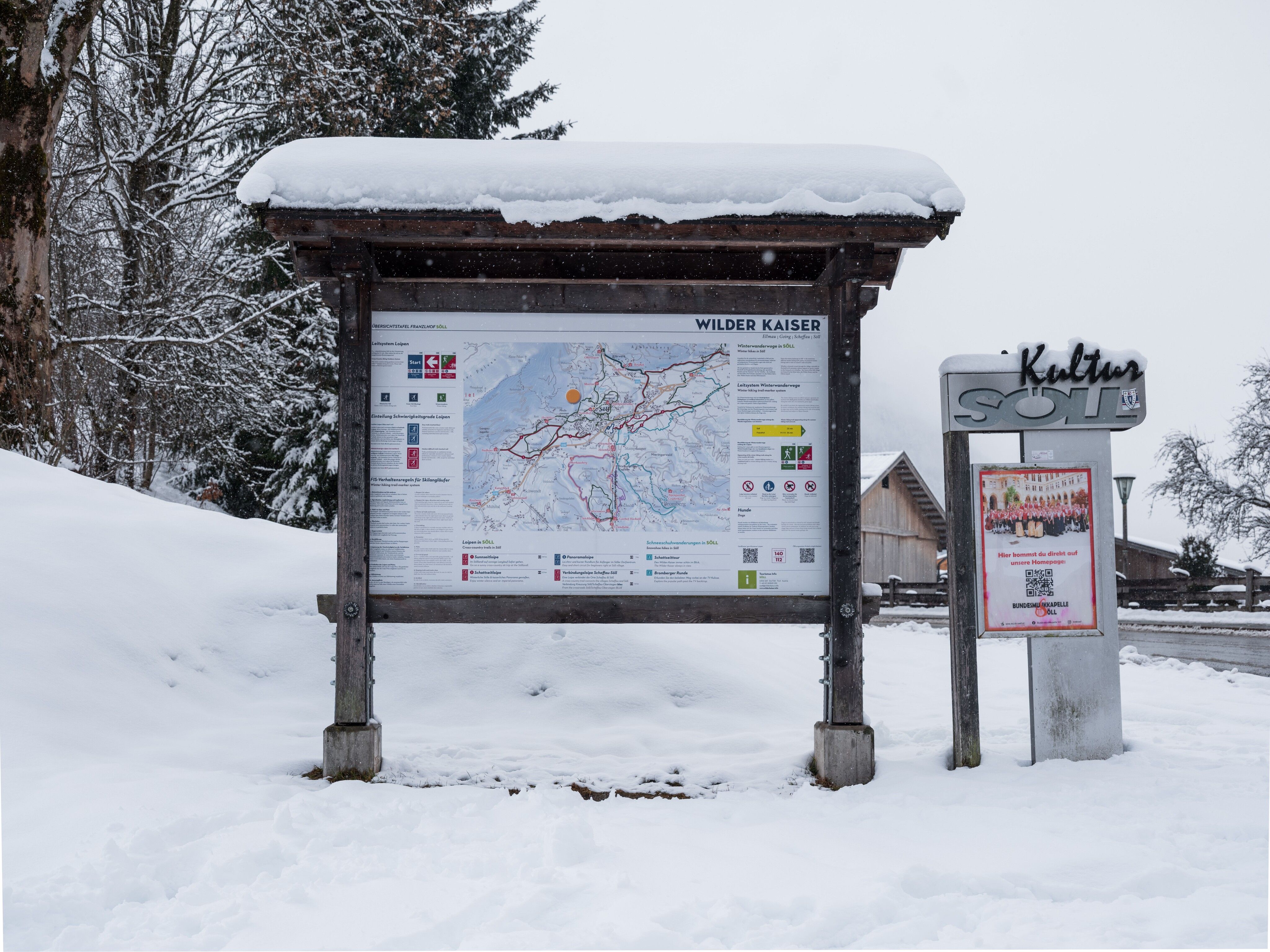
Franzlhof Hiking Trailhead, Söll (703 m)

Finishing point

Franzlhof Hiking Trailhead, Söll (703 m)
  • Fitness level 3 / 6
  • Technique 2 / 6

Features

  • Circular route
  • Suitable for families

Best time of year

  • January
  • February
  • March
  • April
  • May
  • June
  • July
  • August
  • September
  • October
  • November
  • December

Trail condition

groomed Winter Walking Trails

Equipment

Sturdy, high-top hiking boots with a grippy tread (waterproof), weather-appropriate outdoor clothing (breathable), including a change of clothes, sun protection (sunglasses, sunscreen, lip balm, headwear), protection against rain (rain jacket/poncho, rain cover, backpack cover), protection against the cold (hat, gloves), food and drink (plenty to drink—hot beverages and snacks), possibly hiking poles (height-adjustable), first-aid kit including a rescue blanket & bivy sack, cell phone with a fully charged battery, headlamp, plastic bags for trash, hiking map, tour description, and informational materials (GPX track), ID, insurance card, cash
Source: TVB Wilder Kaiser

Description

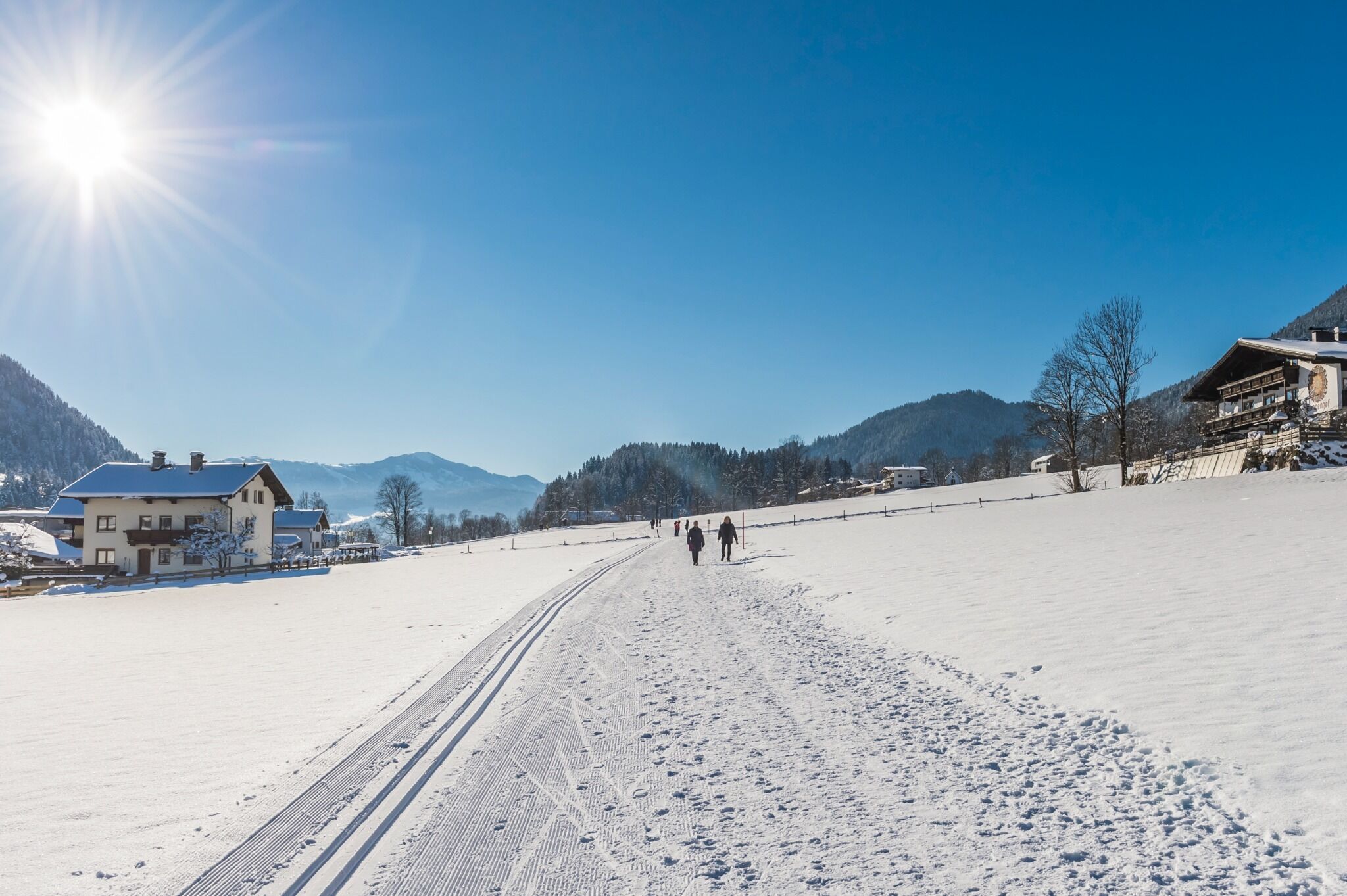
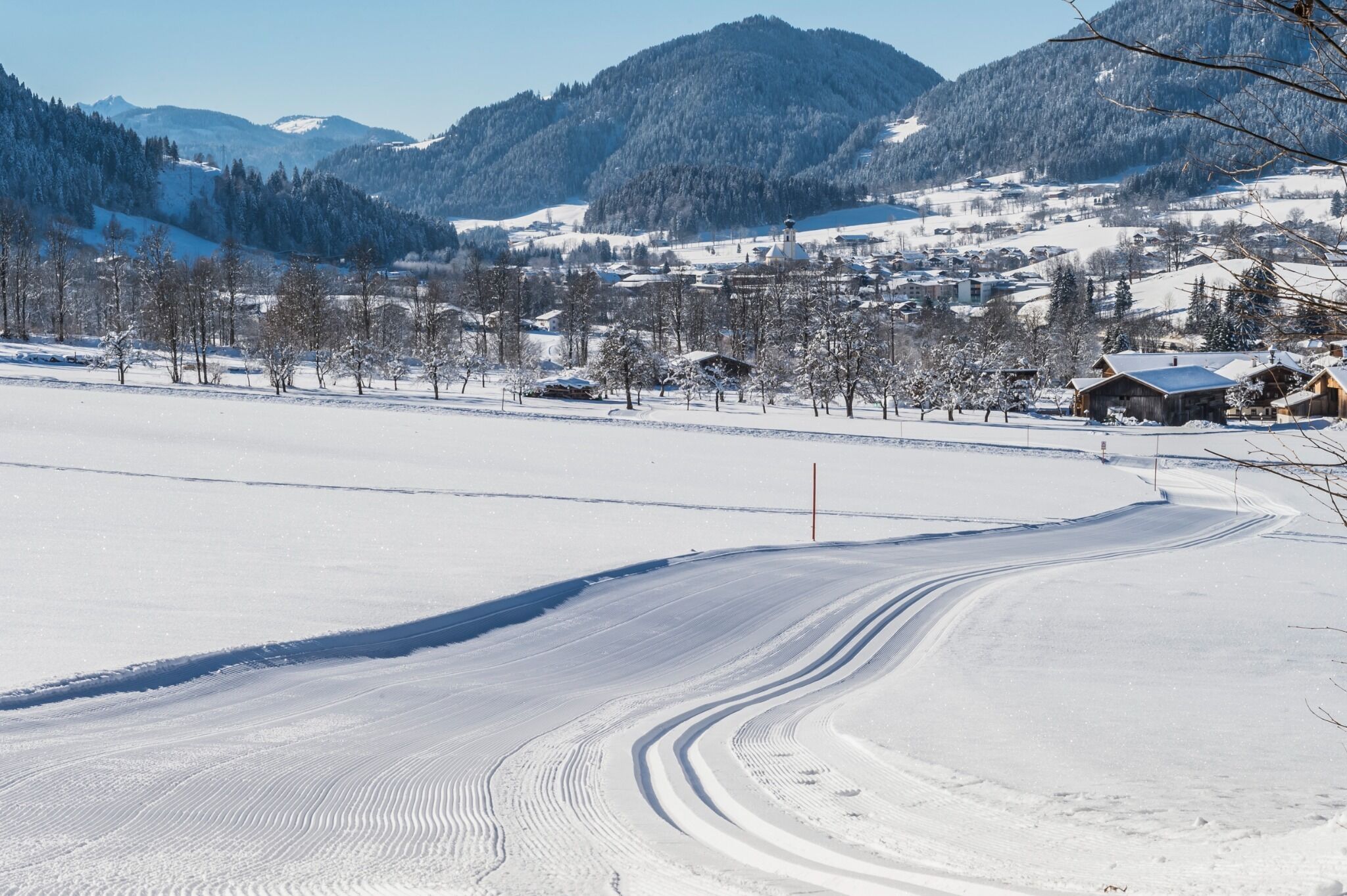
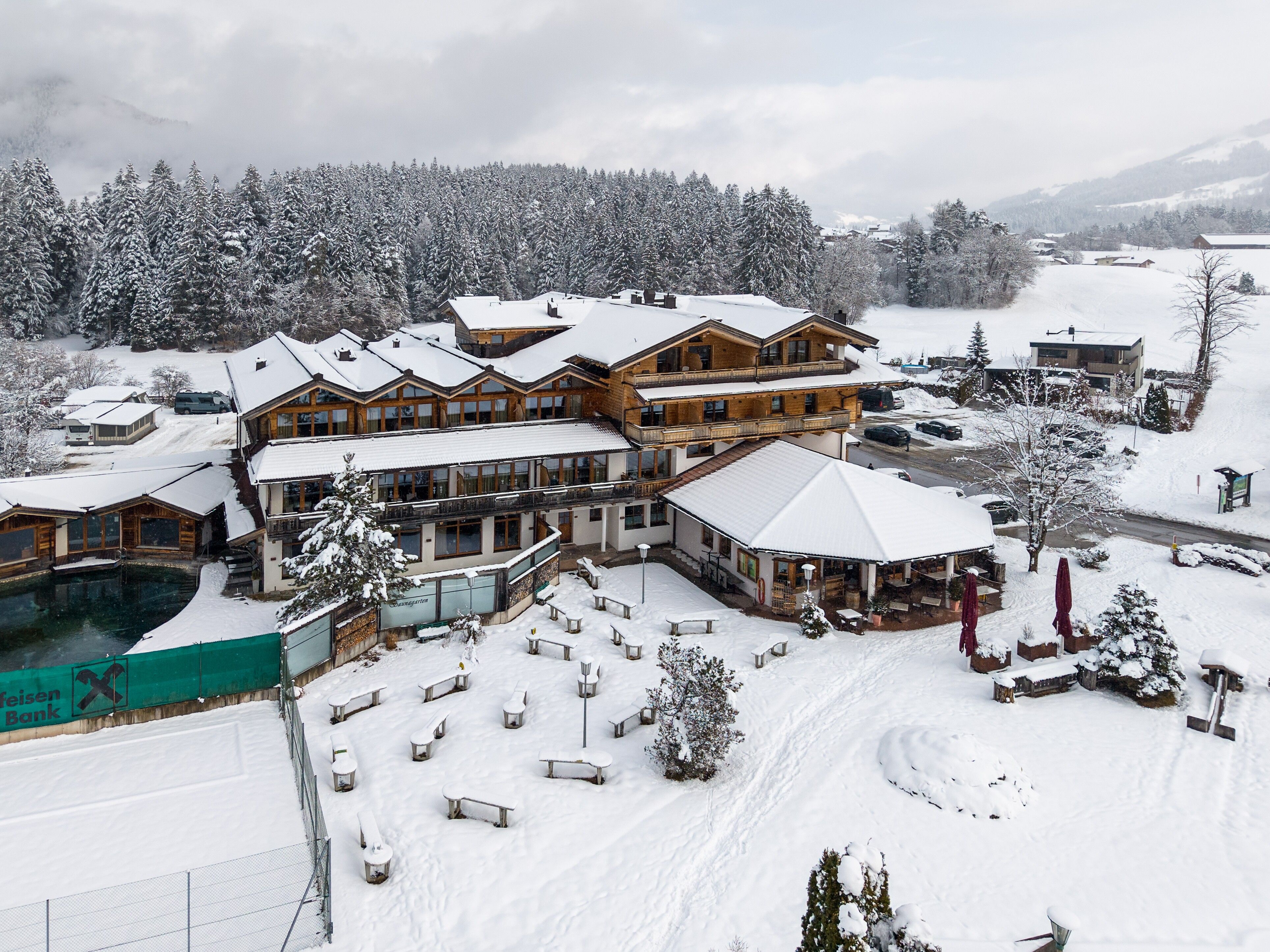
The name says it all: Snow and sunshine accompany you along the trail, and you’ll be treated to beautiful views of Söll, the Wilder Kaiser, the Hohe Salve, and the Pölven Massif. The Starting Point for this Winter Walk is the Franzlhof trailhead in Söll; alternatively, you can begin at the Hotel Alpenpanorama. On the groomed Winter Walking Trail, the route continues straight ahead to the Lederer farm and from there on to the Badhaus inn. It then passes by the Hotel Alpenschlössl and Hochfilzen before returning to the groomed Winter Walking Trail, which leads back to the Starting Point at the Franzlhof.

Nearby huts and mountain restaurants

Getting here

  • Arrival by public transport

    865+866 VVT regional bus routes: Söll Dorf
    From there, it’s about a 10-minute walk to the Franzlhof trailhead.

    You can find more information and the schedules on this page: Local Transportation | Wilder Kaiser

  • Parking

    On Federal Highway B178 coming from Wörgl, Kufstein, or St. Johann, take the exit for Söll and, at the roundabout, take the exit toward Söll, Center. Drive straight through the town and turn right before the restaurant “AnDa’s.” Follow the road until you reach the trailhead at the Franzlhof.

    Franzlhof parking lot, Söll (703 m) – free of charge

Weather

Today

cloudy
12°C/6°C
5 km/h
Snow depth
Now: 0 cm,
Next snowfall: 18. Nov 2026
+13 cm
Go to weather forecast

More tours in the surrounding area

  • Prama winter circuit

    Opening hours:closed
    Length:7.9 kmDuration:3:00 hElevation uphill:80 m
  • Winter walking Biedringer Platte

    Opening hours:closed
    Length:12.7 kmDuration:5:30 hElevation uphill:470 m
Newsletter

The mountain is calling? So does our newsletter!

In our monthly newsletter we reveal the best holiday tips for Tyrol.