
Opening hours:Open today
Place:Gerlos
:Restaurant
Hiking trail of the state of Tyrol
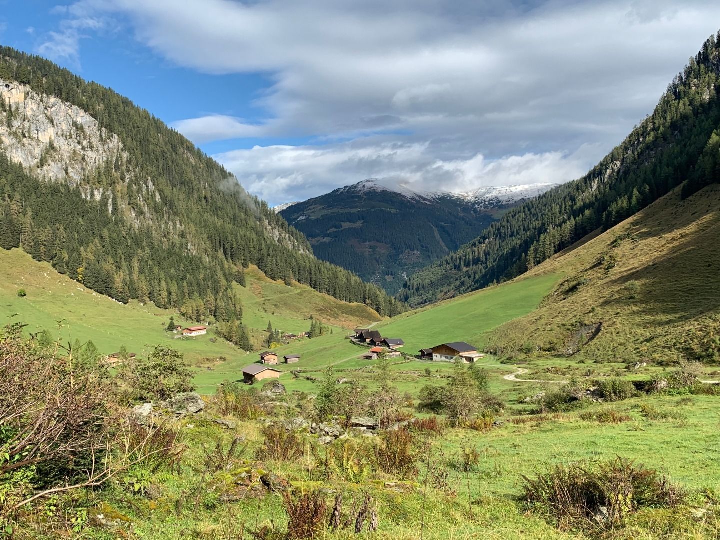
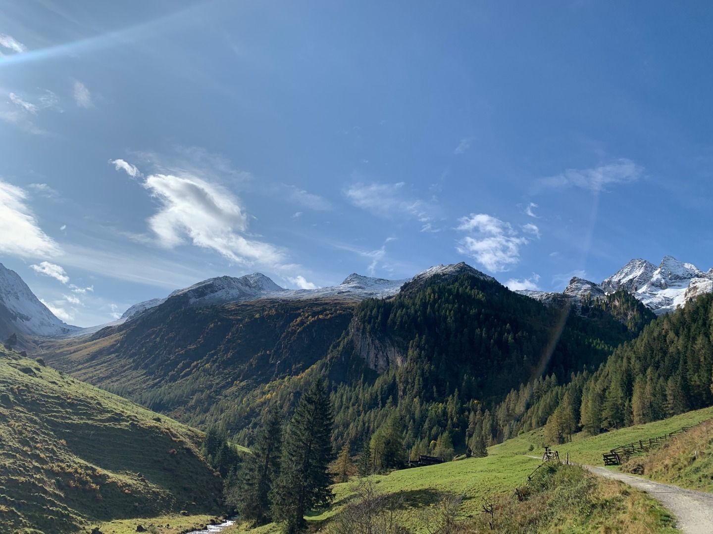
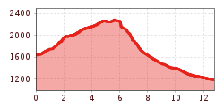
After the ascent with the Gerlossteinbahn (1,650 m), go left on hiking trail no. 8 over a gently rising road. The climb begins when you get off the tow lift. You reach the Heimjöchl (1,984 m) via alpine meadows and several steep steps. From here it goes slightly downhill, then the path continues gently to moderately uphill along the slope to the Lixlkarscharte. From here you can catch a wonderful view of the Brandberger Kolm (2,700 m) in the east and the Geiskopf (2,277 m) in the west. The path no.8 continues to the left along the slope into a small yoke and then continues to the right across an alpine meadow below the Brandbergerkolm (2,700 m). At the fork in the road, the trail branches off to the left to the Brandbergerjoch (2,307m). The descent leads over a stony path down to the upper Schwarzachalm. From here over a road to the Schwarzachalm snack bar (1,400m). After a little refreshment, head out through the romantic Schwarzachtal to the Gasthof Kühle Rast (1,191m). From here it is possible to take the bus either to Hainzenberg (Gerlossteinbahn valley station) or to Gerlos.
Total walking time: approx. 6.5 hours


