
Place:Innsbruck
:Alpine pasture / hut / mountain restaurant
Hafelekar peak
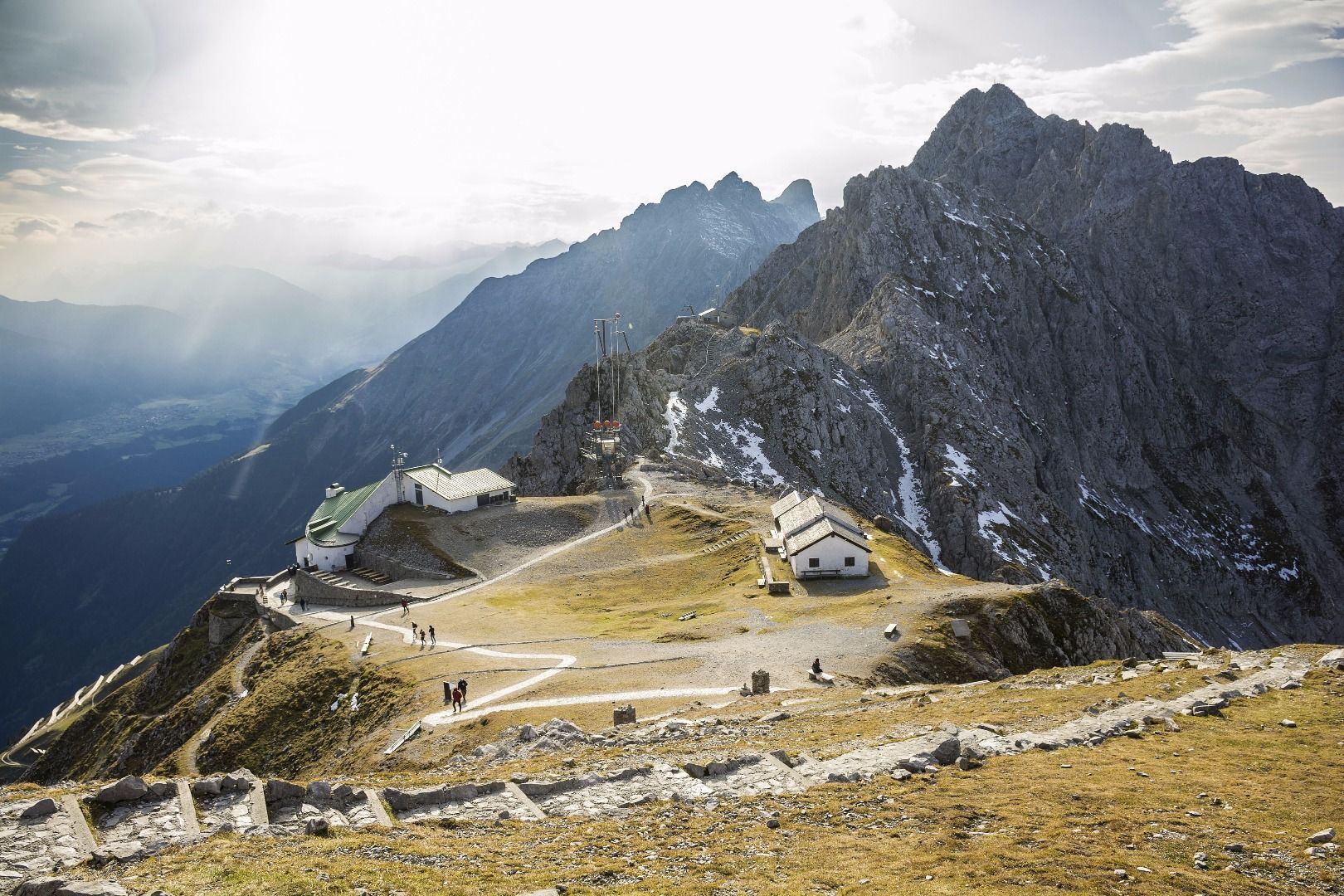
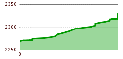
You can take the Innsbruck Nordkettenbahnen lifts from the centre of Innsbruck up to the mountain lift station at Hafelekar, which is located 2,256 metres above sea level. From there, an easy path leads up to Hafelekar peak.
The summit offers breathtaking views of two different worlds. On one side, you look south over the city of Innsbruck, the Inn Valley and the landscapes beyond. In the other direction, rugged rocks reach as far as the eye can see: you are standing at the gateway to the Karwendel mountains and looking deep into the Alps.
The hike from the mountain lift station up to the summit cross is not very strenuous. However, good footwear is essential.
")
