Arrival by public transport
By train to Scharnitz train station, then a 10-minute walk to the starting point at the Scharnitz Parkplatz P1 Riedboden.
All real-time connections can be found in the route planner.
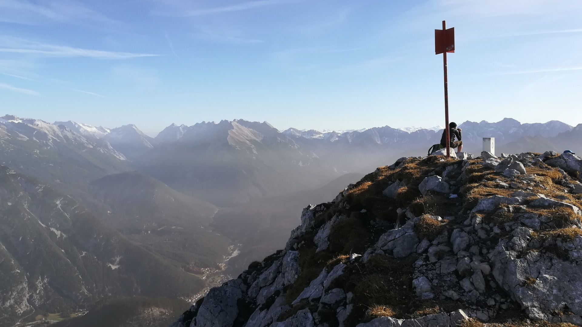
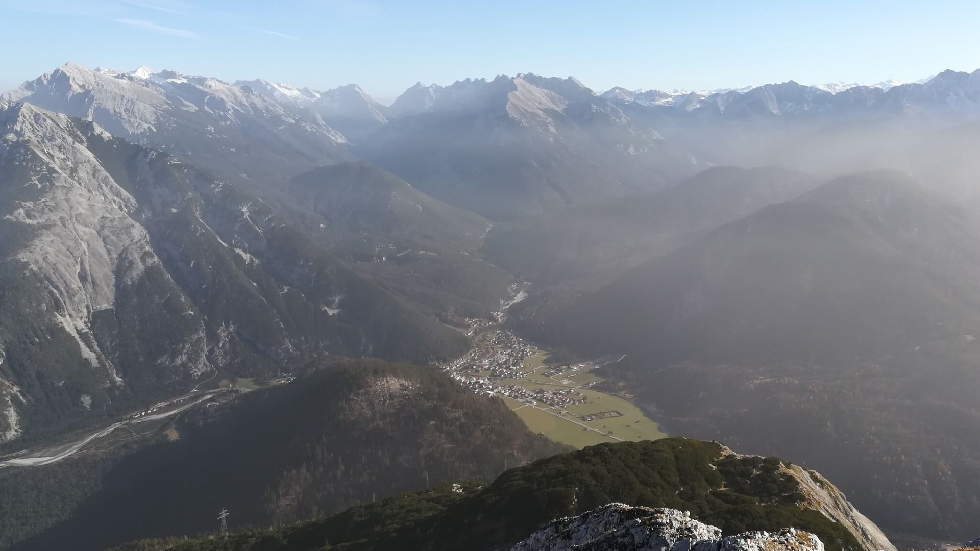
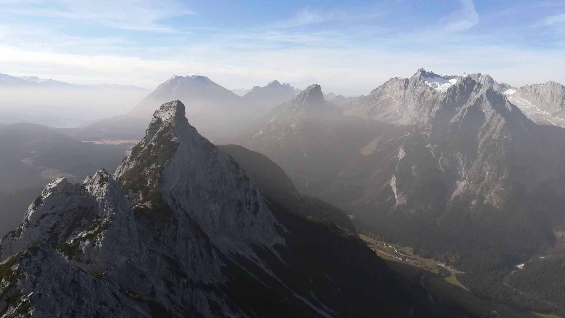
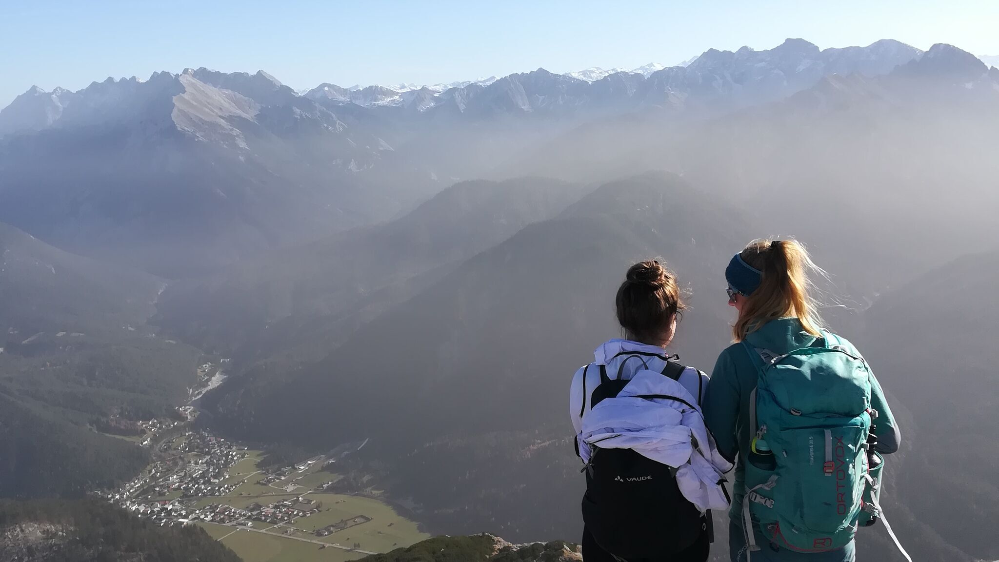
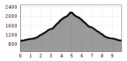
Challenging mountain tour from Scharnitz to the Große Arnspitze (2,196 m), featuring steep ascents and breathtaking views of the surrounding alpine panorama, the Karwendel, and the Wetterstein Mountains.
Mountain path and gravel trails.
All current information about the trail closures in the Region Seefeld can be found here.
Have you been out and about in the Region and discovered a spot that we should rework or repair? Fill out the form "Report a danger zone" and let us know where work is needed.
Sturdy hiking shoes, functional clothing, a backpack, water, snacks, alpine experience, and sure-footedness are necessary for this tour!
Also recommended: a hiking map or GPS, a first aid kit, sun protection, hiking poles, and an emergency blanket.
The hike to the Große Arnspitze is challenging and requires sure-footedness, a head for heights, and alpine experience.
Start at the northern end of Scharnitz and follow the signs towards P1. After the wooden bridge, a forest path continues straight ahead. It's important to follow the signs to avoid getting lost. At the end of the forest path, you'll find a trail that leads up the flank of the Arnsattel. The path climbs steeply into the hollow of the Hasellähne and then continues in switchbacks to the hut.
From there, the trail goes right to the fore-summit, which can be reached via steep, rugged terrain. The summit is marked with a summit sign. For the final ascent to the main summit, you have to overcome some climbing sections of difficulty I+, with fixed rings making the passage easier. The descent is on the same route back to the starting point.
More hikes around Große Arnspitze:
- Crossing of the Arnspitzen (for experienced alpinists)
- Hike Arnplattenspitze
- Hike Hoher Sattel - Große Arnpsitze
By train to Scharnitz train station, then a 10-minute walk to the starting point at the Scharnitz Parkplatz P1 Riedboden.
All real-time connections can be found in the route planner.

.jpg")


.jpg")

 Olympiaregion Seefeld")


.jpg")


.jpg")


.jpg")
 (2).jpg")
