
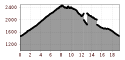
Difficulty:medium
Length:14.4 kmDuration:6:00 hElevation uphill:925 m
Surefootedness and head for heights
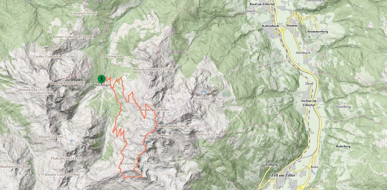
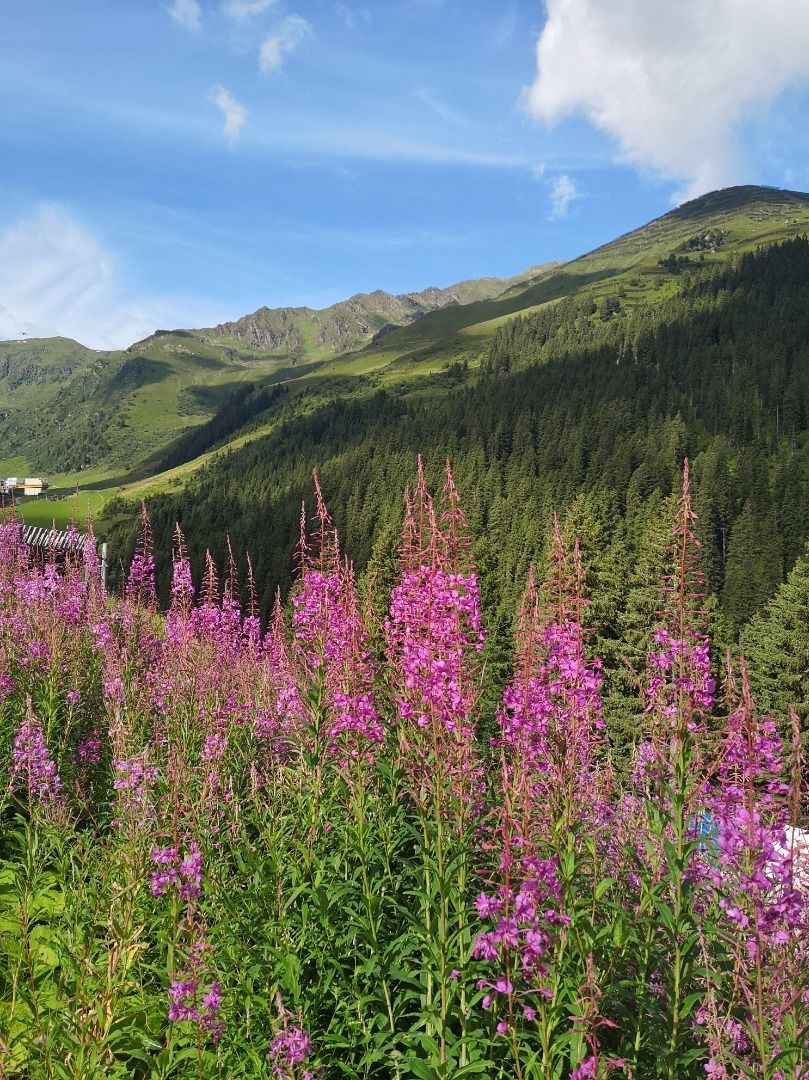
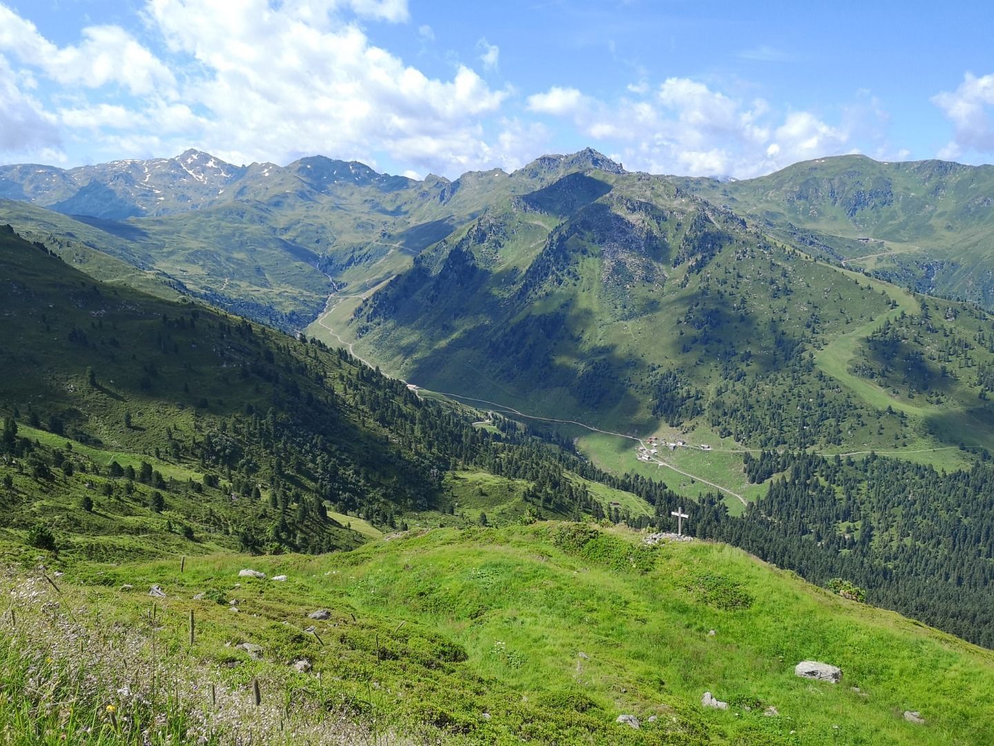
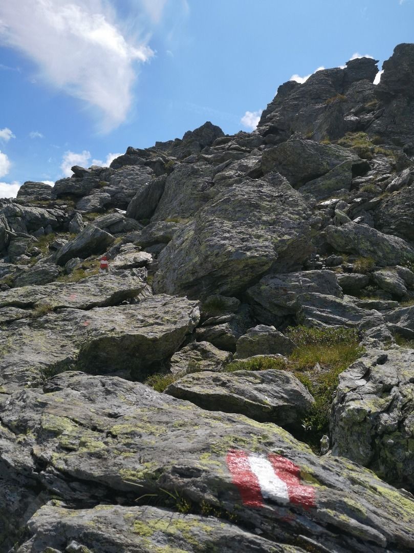
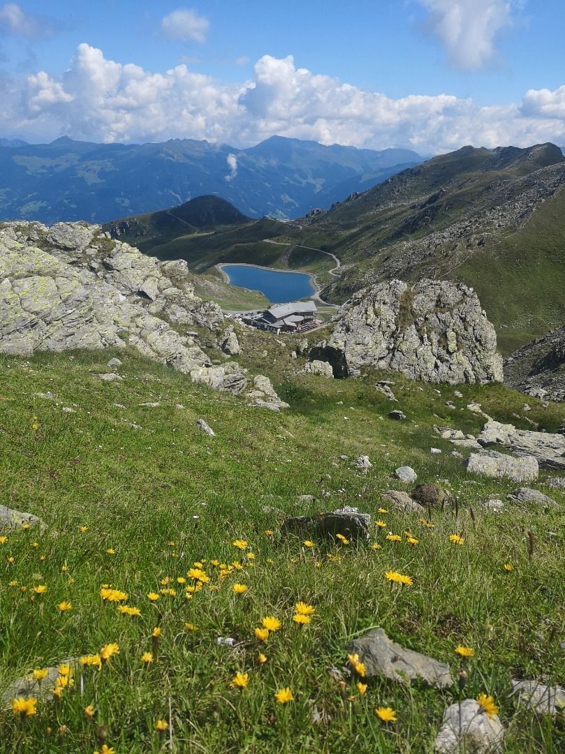
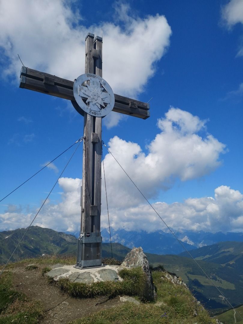
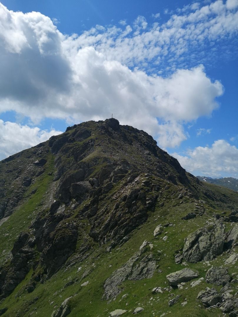
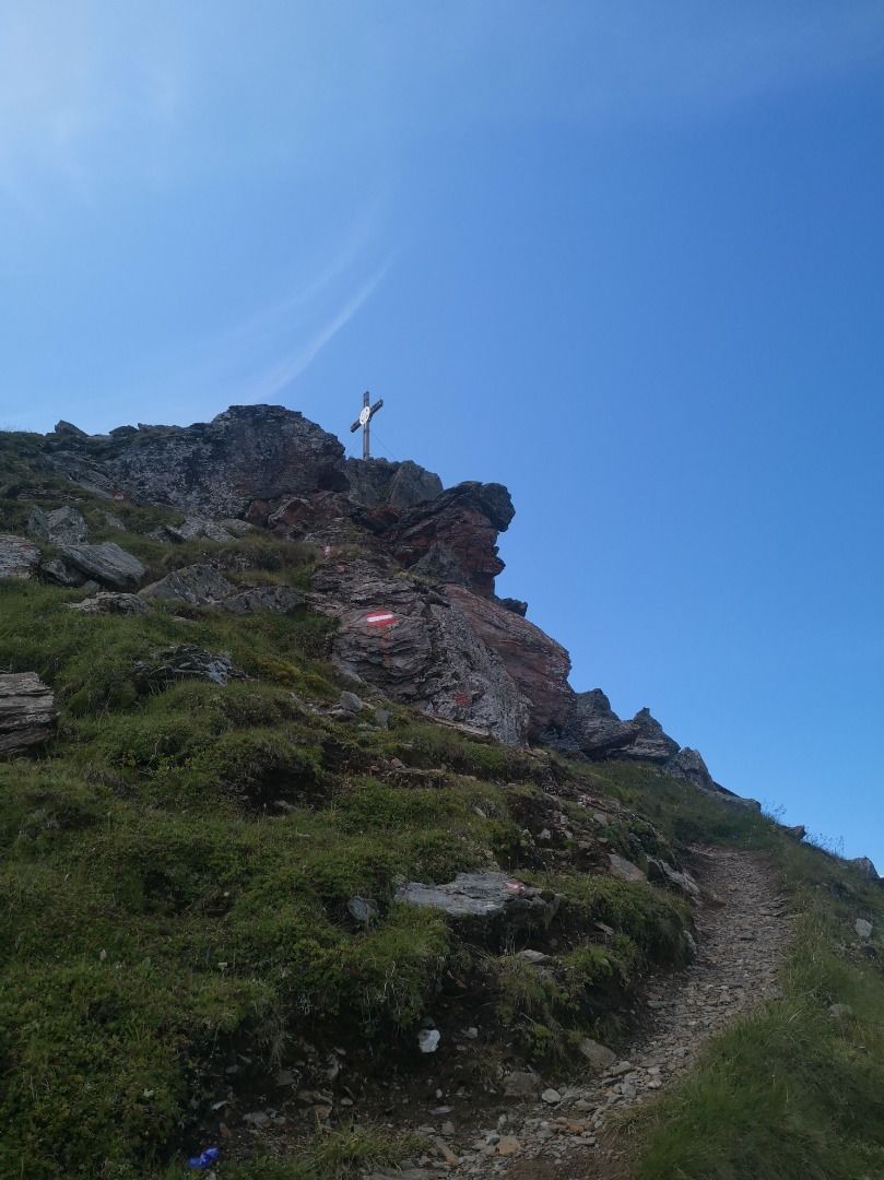
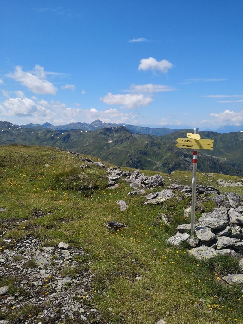
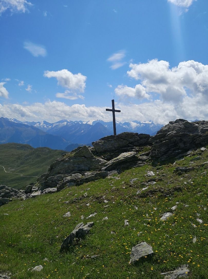
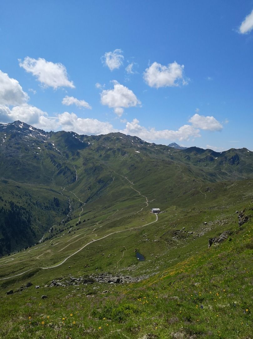
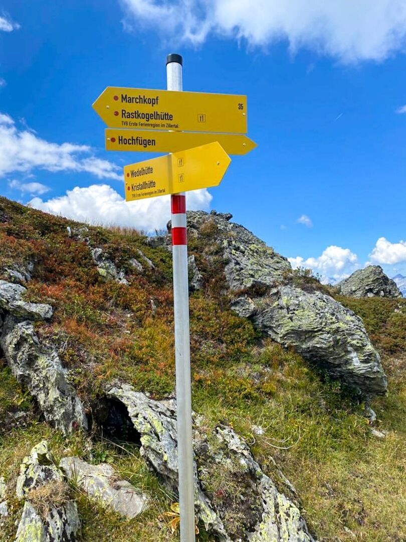
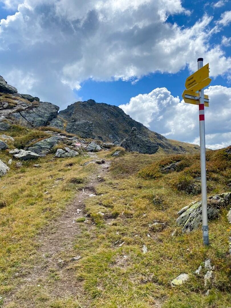
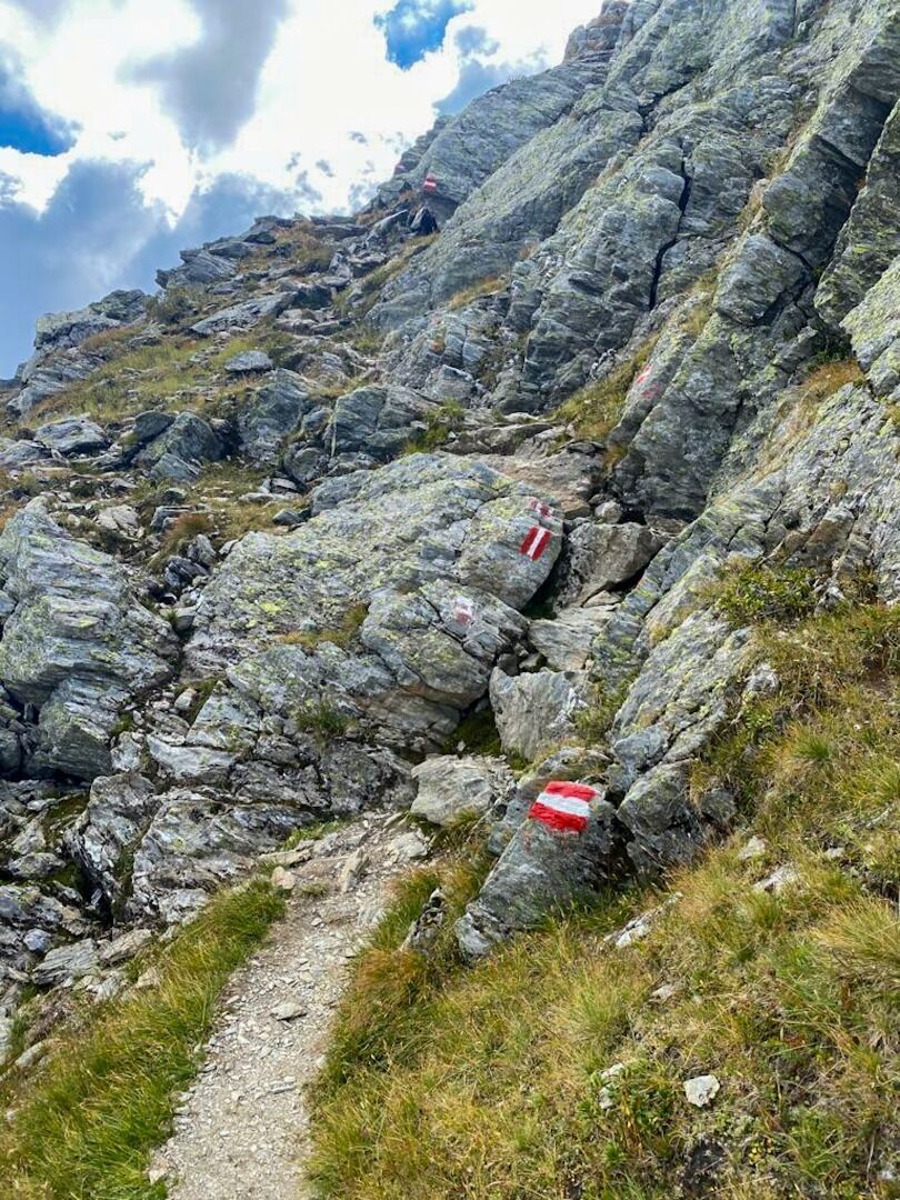
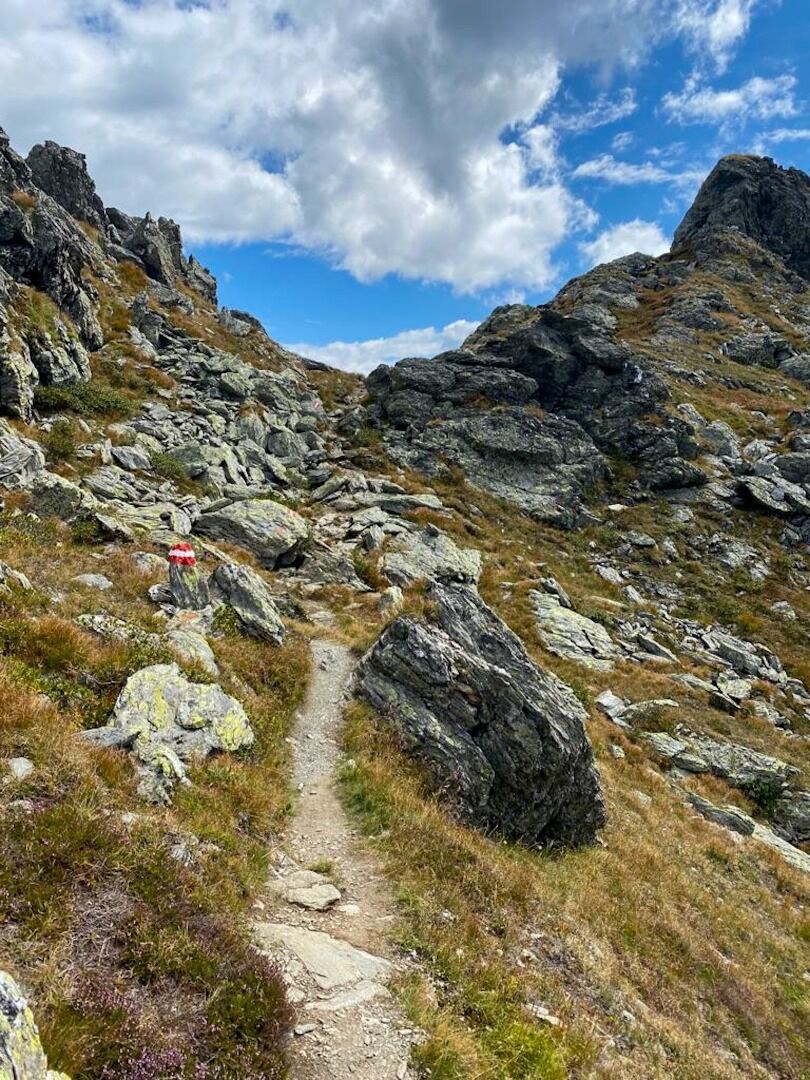
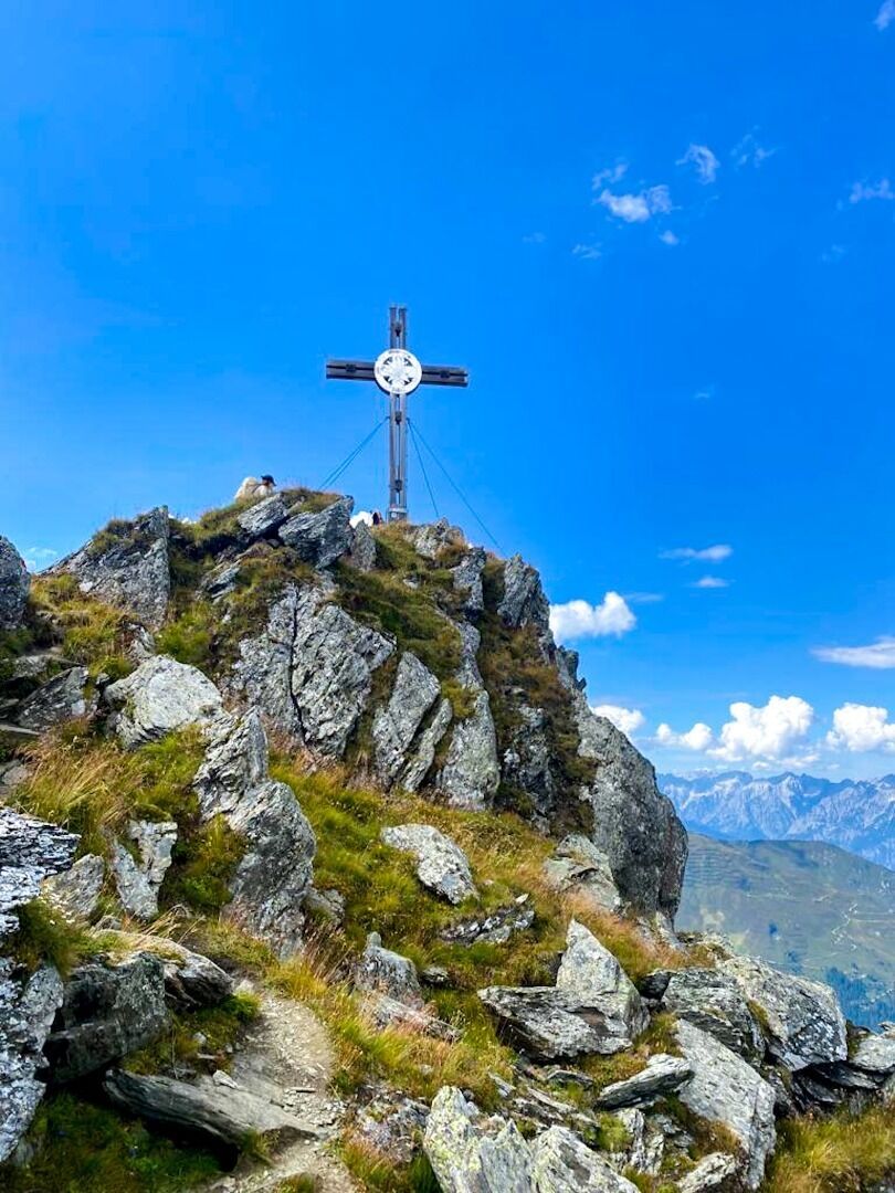
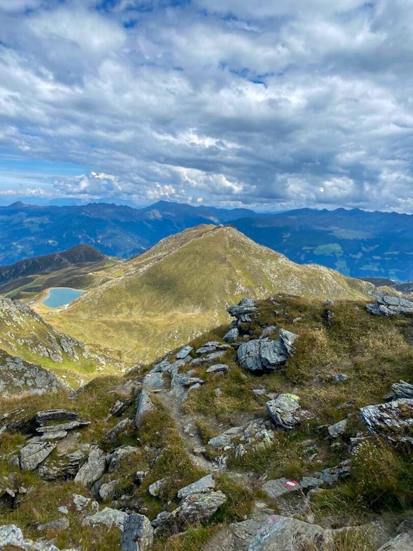
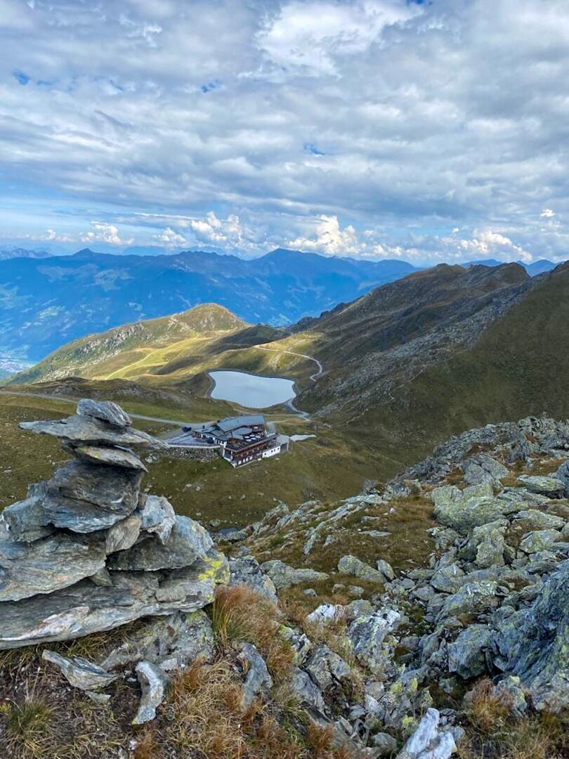
Departing from Hochfügen, the hiking trail starts by heading across the road, past the Hotel Almhof, Hotel Lamark, and Aar Wirt restaurant on the way to the Holzalm pasture. You should then stay on the gravel trail, keeping left as you head past the Holzalm Hochleger, until you reach the mountain station of the Zillertal Shuttle. The hiking trail then becomes narrower and is at times exposed as it leads you across rocky terrain en route to the Marchkopf summit at 2499 m. Following this, the trail navigates a number of ascents and descents as it guides you along the ridge, past the summit (cross), and to Kraxentrager mountain at 2432 m. At the next fork in the road, head downhill to the left and via Kreuzjoch saddle to reach the Rastkogelhütte hut (2124 m).
The return journey begins with a brief ascent up to the ridge, then takes in the Viertelalm and Holzalm pastures on the way to Hochfügen.
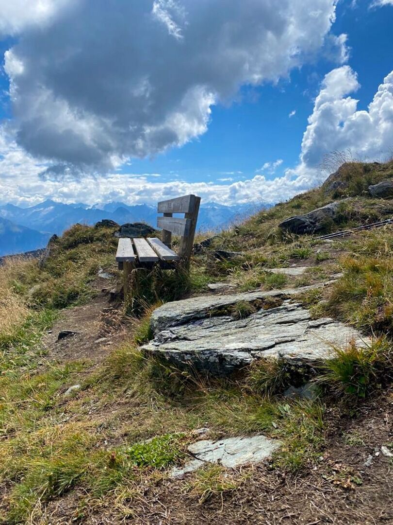
stop off possibilities: Rastkogelhütte, restaurants in Hochfügen
.jpg")
Manfred Pfister.jpg")

