
Place:Stuben am Arlberg
:Alpine pasture / hut / mountain restaurant
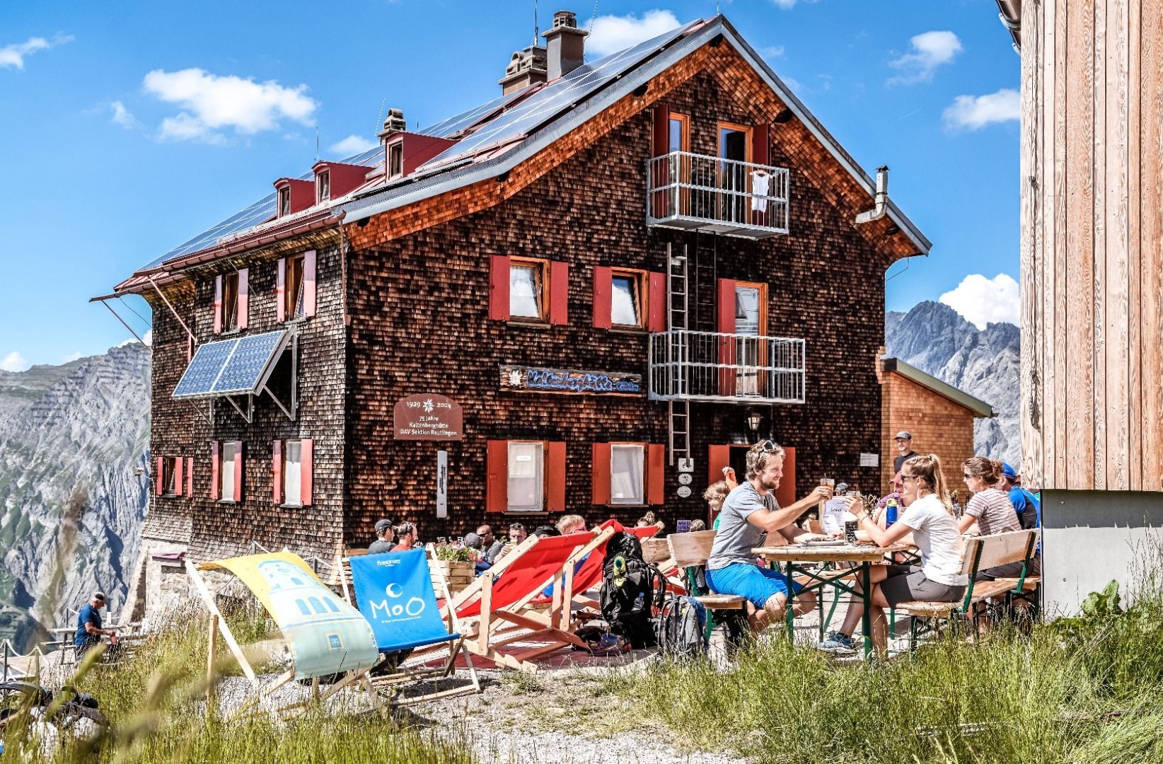
Kaltenberg Hut - Constance Hut (Reutlinger Weg)
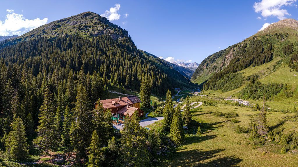
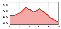
On the Reutlinger Weg, the stage runs over the Kracheljoch and the Gstansjoch deep into the Verwall to the Konstanzer Hütte. Between the two demanding crossings, the trail opens up a landscape that was described as "Patagonia in the Alps" in the 1995 Alpine Club Yearbook. Old snow on the north-facing ascent to the Gstanzjoch often makes the trail a high-alpine adventure until mid-July. You can find out the current conditions from the hut keepers.
One of the many possible stages across a total of 8 managed DAV and ÖAV huts through the Verwall. Can be combined as desired: two, three, four days, a whole week, with or without summit ascents, over spectacular passes and through picturesque valleys. (Copyright ÖAV and DAV)

