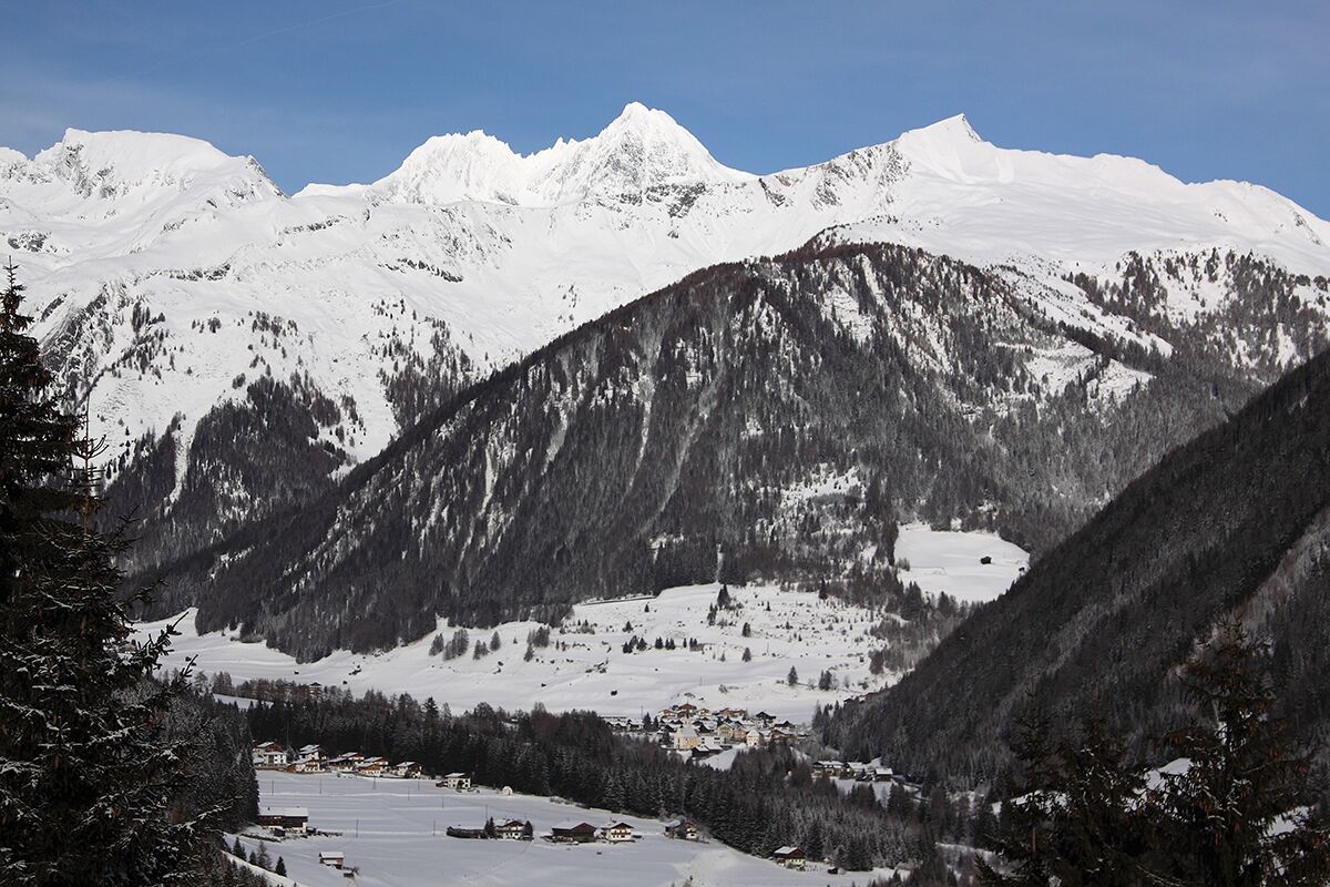
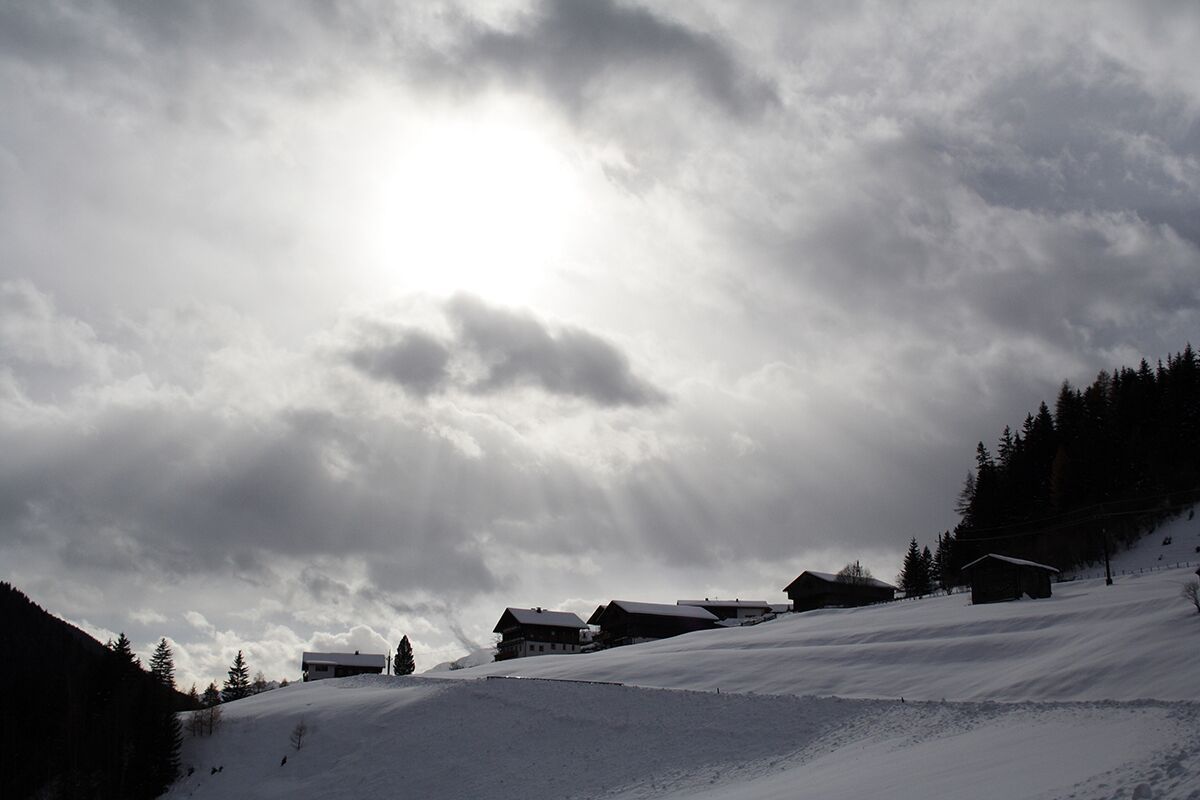
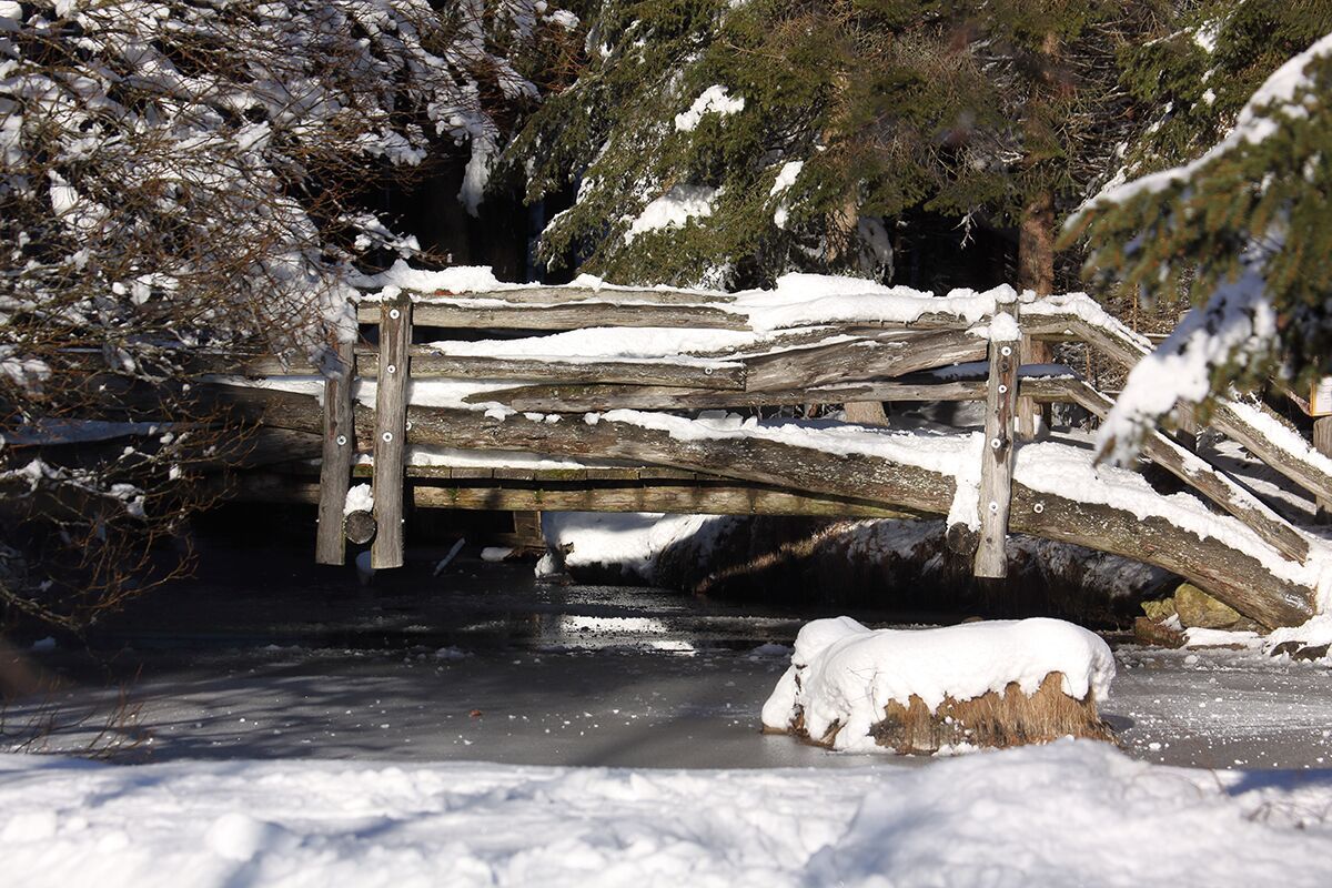
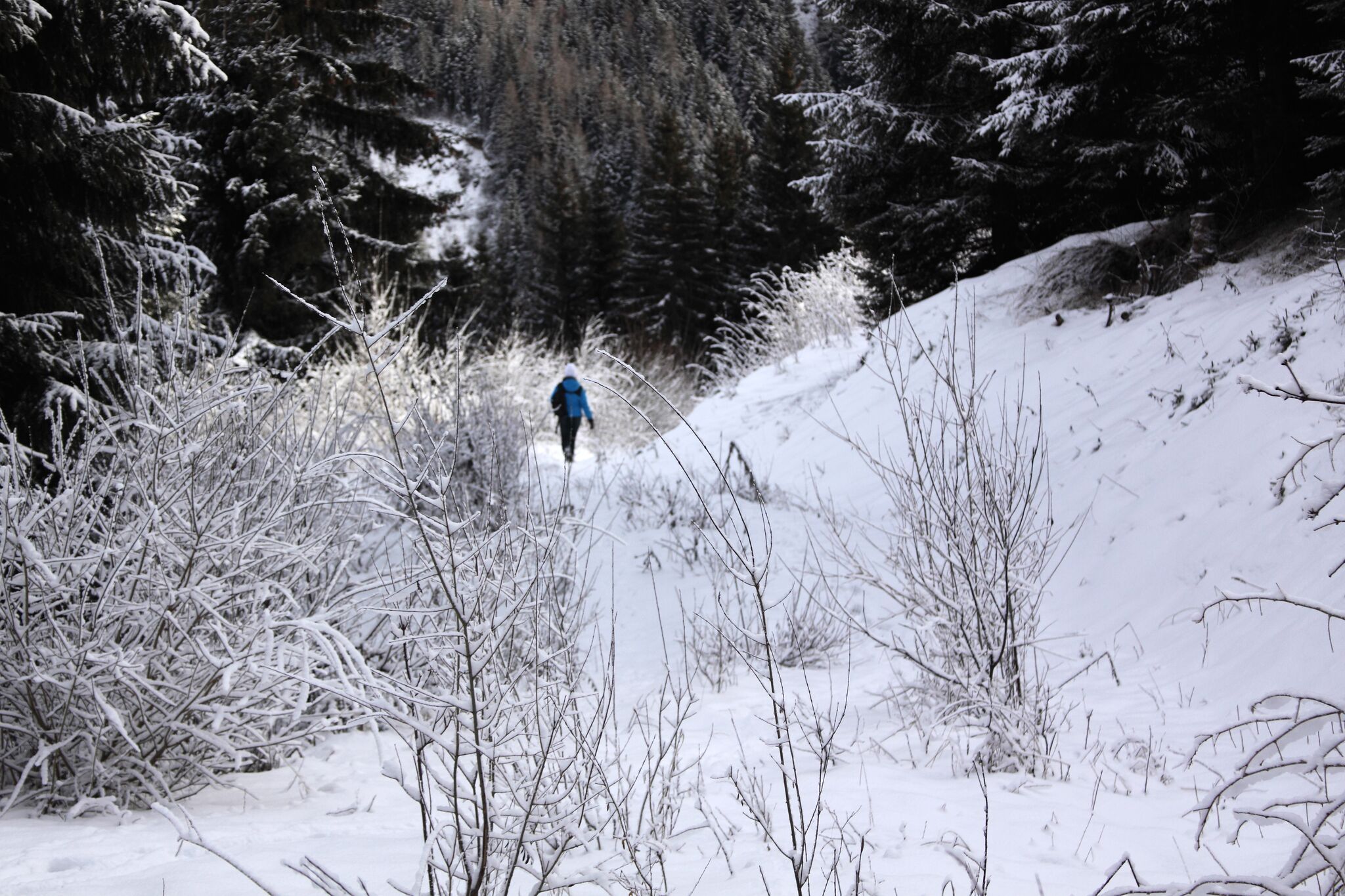
DescriptionA lovely hike along the Kalserbach to the "Knopfbrücke" and in the towns of Kals/Arnig to Gasthaus Glocknerblick; wonderful view of the Glockner!
Inn "Braugasthof Glocknerblick"Opening hours:Today closedPlace: Kals am Großglockner : Restaurant see restaurant detailssee restaurant details: Inn "Braugasthof Glocknerblick"
Restaurant "Kalser Eck"Opening hours:Open todayPlace: Kals am Großglockner : Restaurant see restaurant detailssee restaurant details: Restaurant "Kalser Eck"
Restaurant "Ködnitzhof"Opening hours:Today closedPlace: Kals am Großglockner : Restaurant see restaurant detailssee restaurant details: Restaurant "Ködnitzhof"
FigerhornDifficulty: difficult Length: 6.5 km Duration: 6:00 h Elevation uphill: 807 m See trailSee trail: Figerhorn
Badener HütteDifficulty: difficult Length: 23.2 km Duration: 11:30 h Elevation uphill: 1,750 m See trailSee trail: Badener Hütte
Hiking tour to Sudetendeutschen Hütte 2.650mDifficulty: medium Length: 15.5 km Duration: 7:00 h Elevation uphill: 1,200 m See trailSee trail: Hiking tour to Sudetendeutschen Hütte 2.650m
Hike to the Berghaus AußergschlössDifficulty: easy Length: 5.2 km Duration: 1:45 h Elevation uphill: 170 m See trailSee trail: Hike to the Berghaus Außergschlöss
Hike to Neuen Reichenberger HütteDifficulty: medium Length: 9.1 km Duration: 9:00 h Elevation uphill: 1,210 m See trailSee trail: Hike to Neuen Reichenberger Hütte
Hiking tour to Lasörlinghütte 2.350mDifficulty: medium Length: 14.6 km Duration: 7:10 h Elevation uphill: 1,080 m See trailSee trail: Hiking tour to Lasörlinghütte 2.350m
Hiking tour to Neue Sajathütte 2.600mDifficulty: medium Length: 10.3 km Duration: 6:50 h Elevation uphill: 1,080 m See trailSee trail: Hiking tour to Neue Sajathütte 2.600m
RotenkogelDifficulty: difficult Length: 3.9 km Duration: 3:00 h Elevation uphill: 383 m See trailSee trail: Rotenkogel
Umbal waterfalls nature force trailDifficulty: easy Length: 5.8 km Duration: 2:30 h Elevation uphill: 250 m See trailSee trail: Umbal waterfalls nature force trail
Circular hike suspension bridge Isel Canyon via "Hohe Bank"Difficulty: medium Length: 8.1 km Duration: 2:40 h Elevation uphill: 300 m See trailSee trail: Circular hike suspension bridge Isel Canyon via "Hohe Bank"
Eagle Walk Stage O3: Eisseehütte - Bonn-Matreier-HütteDifficulty: medium Length: 7.0 km Duration: 3:30 h Elevation uphill: 600 m See trailSee trail: Eagle Walk Stage O3: Eisseehütte - Bonn-Matreier-Hütte
Eagle Walk Stage O5: Badener Hütte - Matreier TauernhausDifficulty: difficult Length: 14.0 km Duration: 5:30 h Elevation uphill: 450 m See trailSee trail: Eagle Walk Stage O5: Badener Hütte - Matreier Tauernhaus
Eagle Walk Stage O8: Kalser Tauernhaus - StüdlhütteDifficulty: medium Length: 14.0 km Duration: 6:30 h Elevation uphill: 1,440 m See trailSee trail: Eagle Walk Stage O8: Kalser Tauernhaus - Stüdlhütte
Eagle Walk Stage O6: Matrei in Osttirol - Sudetendeutsche HütteDifficulty: medium Length: 8.0 km Duration: 4:00 h Elevation uphill: 1,250 m See trailSee trail: Eagle Walk Stage O6: Matrei in Osttirol - Sudetendeutsche Hütte
Glacier trail Innergschlöss/SchlatenkeesDifficulty: medium Length: 9.4 km Duration: 5:00 h Elevation uphill: 680 m See trailSee trail: Glacier trail Innergschlöss/Schlatenkees
Muhs panorama trailDifficulty: medium Length: 15.2 km Duration: 6:00 h Elevation uphill: 1,090 m See trailSee trail: Muhs panorama trail
Lasörling altitude trailDifficulty: medium Length: 57.0 km Duration: 25:00 h Elevation uphill: 3,740 m See trailSee trail: Lasörling altitude trail
Venediger altitude trailDifficulty: difficult Length: 55.5 km Duration: 27:00 h Elevation uphill: 3,915 m See trailSee trail: Venediger altitude trail
Lasörling 3.098mDifficulty: difficult Length: 21.9 km Duration: 12:00 h Elevation uphill: 1,940 m See trailSee trail: Lasörling 3.098m
Böses WeiblDifficulty: difficult Length: 14.1 km Duration: 8:00 h Elevation uphill: 1,193 m See trailSee trail: Böses Weibl
Hike to the Venedigerhaus InnergschlößDifficulty: easy Length: 8.5 km Duration: 2:30 h Elevation uphill: 180 m See trailSee trail: Hike to the Venedigerhaus Innergschlöß
Hike to Kalser TauernhausDifficulty: medium Length: 12.2 km Duration: 4:00 h Elevation uphill: 244 m See trailSee trail: Hike to Kalser Tauernhaus
Lucknerhaus - StüdlhütteDifficulty: medium Length: 9.3 km Duration: 5:30 h Elevation uphill: 862 m See trailSee trail: Lucknerhaus - Stüdlhütte
Eagle Walk Stage O2: Johannishütte - EisseehütteDifficulty: difficult Length: 10.0 km Duration: 6:00 h Elevation uphill: 1,020 m See trailSee trail: Eagle Walk Stage O2: Johannishütte - Eisseehütte
Eagle Walk Stage O1: Ströden - Johannis HütteDifficulty: medium Length: 13.0 km Duration: 6:30 h Elevation uphill: 1,430 m See trailSee trail: Eagle Walk Stage O1: Ströden - Johannis Hütte
Give feedback for a chance to win a special holiday experience!Click here for the surveyClick here for the survey