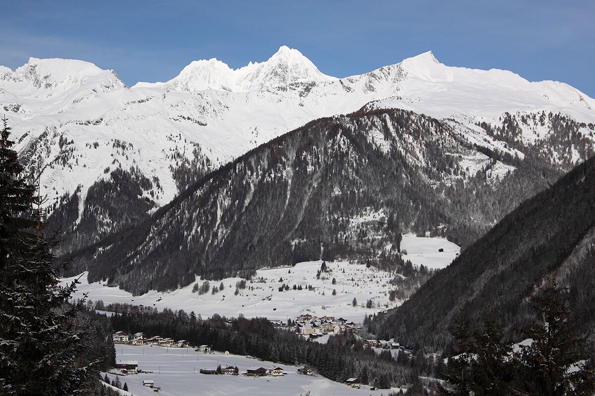
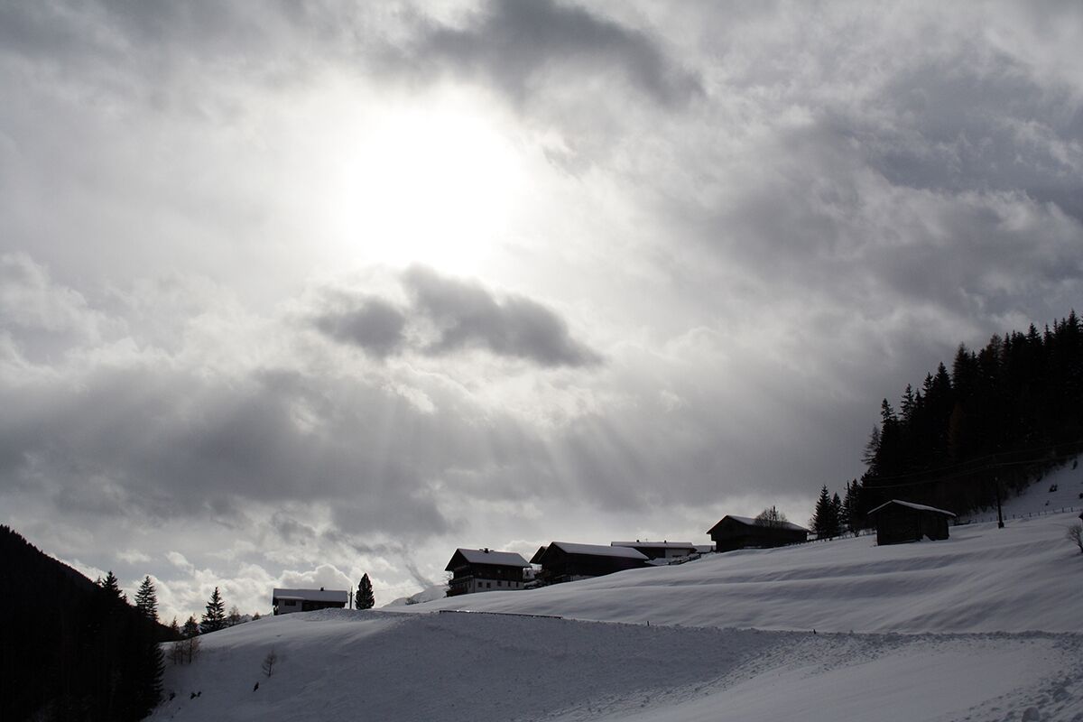
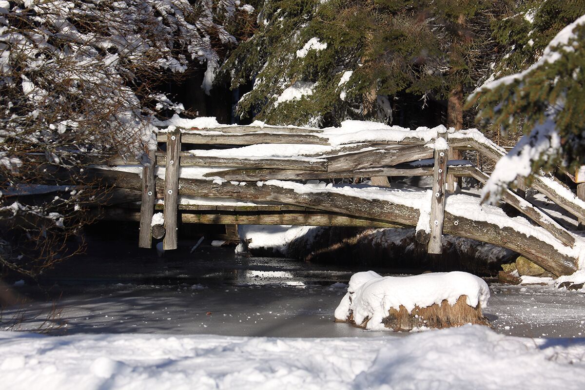
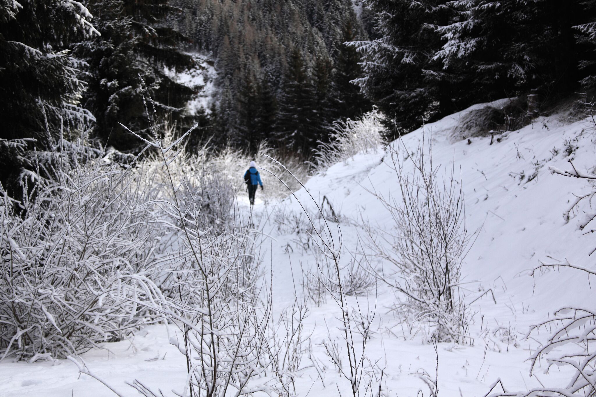
BeschreibungA lovely hike along the Kalserbach to the "Knopfbrücke" and in the towns of Kals/Arnig to Gasthaus Glocknerblick; wonderful view of the Glockner!
Glocknerblick Sommer © Elisabeth Rogl Braugasthof GlocknerblickÖffnungszeiten:Heute geschlossenOrt:Kals am Großglockner:RestaurantZum GastronomiebetriebZum Gastronomiebetrieb: Braugasthof Glocknerblick
KödnitzhofÖffnungszeiten:Heute geöffnetOrt:Kals am Großglockner:RestaurantZum GastronomiebetriebZum Gastronomiebetrieb: Ködnitzhof
Kalser EckÖffnungszeiten:Heute geöffnetOrt:Kals am Großglockner:Restaurant, Snack bar / StreetFood, Bar / PubZum GastronomiebetriebZum Gastronomiebetrieb: Kalser Eck
Feedback geben und besondere Urlaubserlebnisse gewinnen!Hier geht's zur UmfrageHier geht's zur Umfrage