Rauher Kopf from Hattingerberg
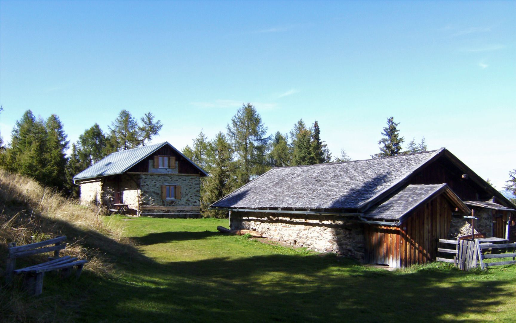
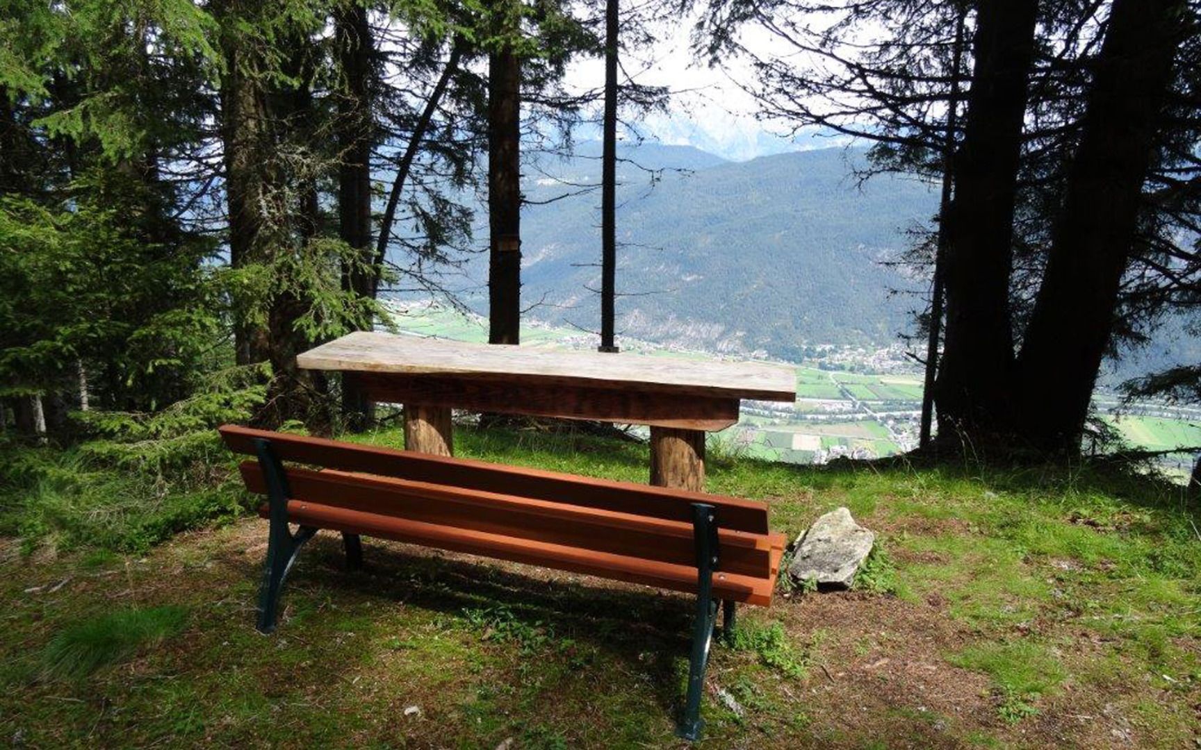
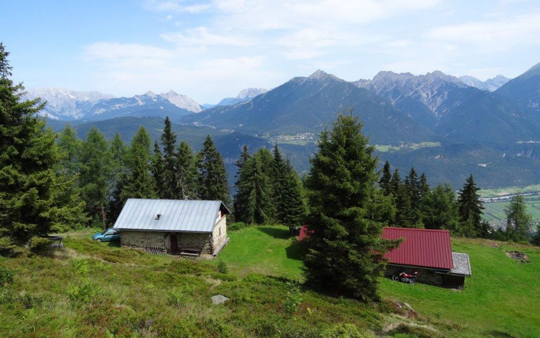
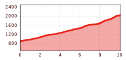
This route starts in Hattingerberg and follows the forest road that leads off from above the "Oberländerhof" (the former Gasthof Bergfrieden) as it climbs steadily up to the Archbrandhütte mountain hut (not open to the public). Hikers with good fitness levels have multiple opportunities to turn off onto the signposted Archbrandsteig trail, which considerably shortens the hike. When you get to the hut, follow the signs for "Rauher Kopf". This trail takes you past the Jugendkreuz cross and up to the Heimkehrerkreuz cross, which stands at 2,308 metres above sea level on Rauher Kopf.
