Mountain hikes Scheibenkogel - Nr. 68

Schwendt / Kaisergebirge
Difficulty ratings: medium
Route length: 6.8 km
Duration: 6:30 h

Trail Nr. 68

Tour information

  • Requirement: medium
  • Length: 6.8 km
  • Duration: 6:30 h
  • Elevation uphill:959 hm
Highest point1,579 m

Starting point

Tourist Office Schwendt

Finishing point

Mountaintop Scheibenkogel
  • Fitness level 4 / 6
  • Technique 3 / 6

Best time of year

  • January
  • February
  • March
  • April
  • May
  • June
  • July
  • August
  • September
  • October
  • November
  • December

Trail condition

gravel, path

Equipment

Breathable outdoor clothing suitable for the weather, sturdy footwear, food (snacks, drinks),
sun protection (sunglasses, sun cream & cap), rain protection, cash; guest card if using the
Source: Kaiserwinkl

Description

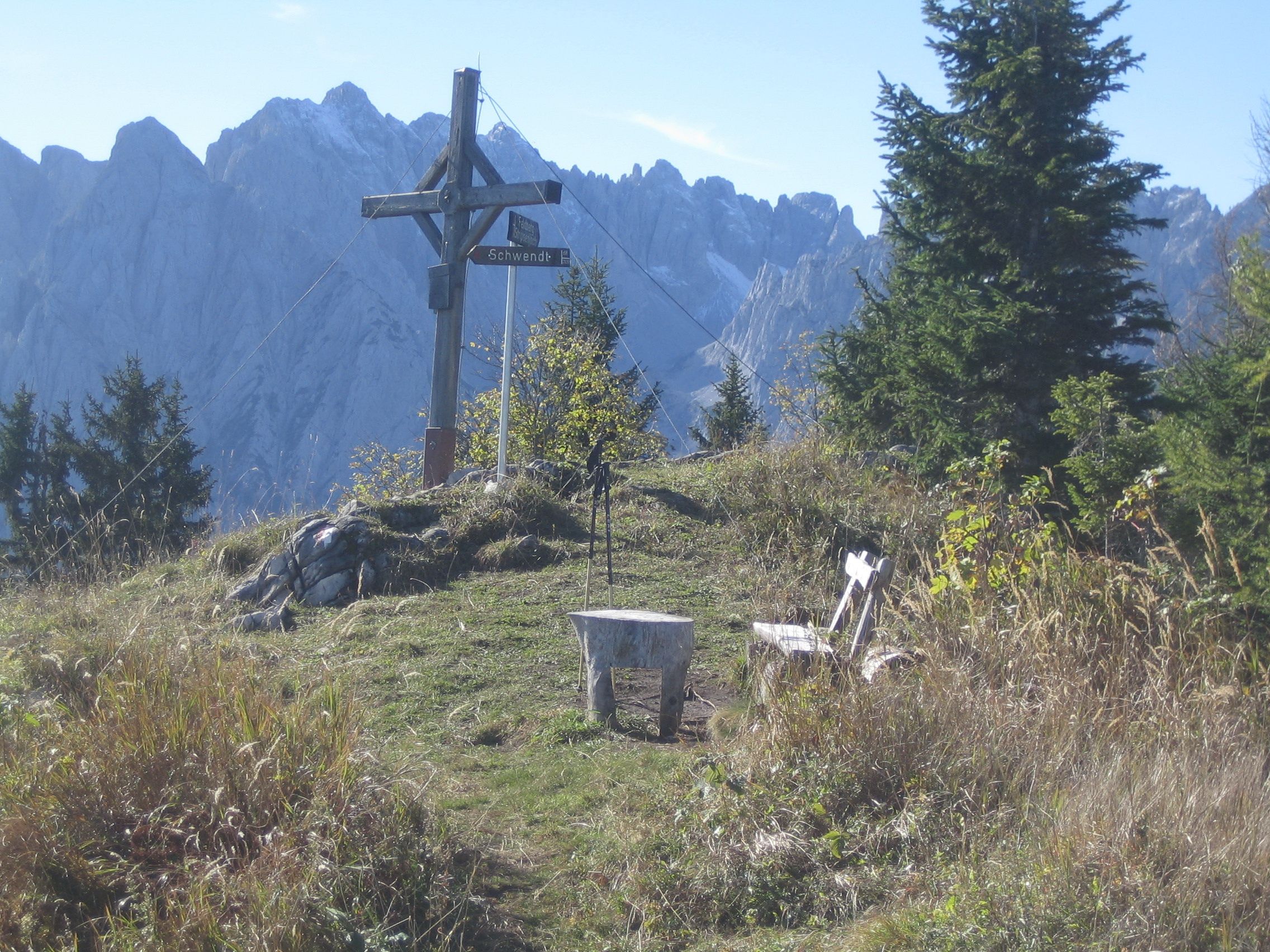
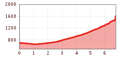
From Raiffeisenbank Schwendt follow the road towards Griesenau, after approx. 1 km turn right over Mühlau into Kohlental and continue the asphalt road. At the right walk up to a hill, here you turn left into a mountain road and then pass through forest and across meadows to the junction at the Unterbichlalm. Follow the left lane over the Boaralm. Shortly after the pasture, leave the road and turn left first and then right after 50 m. Via an alpine meadow you reach the destroyed Kogelalm. From here steeply uphill to the summit of Scheibenkogel, which turns out to be a quiet, fine viewing point on the Ostkaiser, the Zahmer Kaiser and even on the Grossglockner group.

Getting here

  • Arrival by public transport

    Take the bus on line 4000 to the Schwendt Dorf bus stop

  • Parking

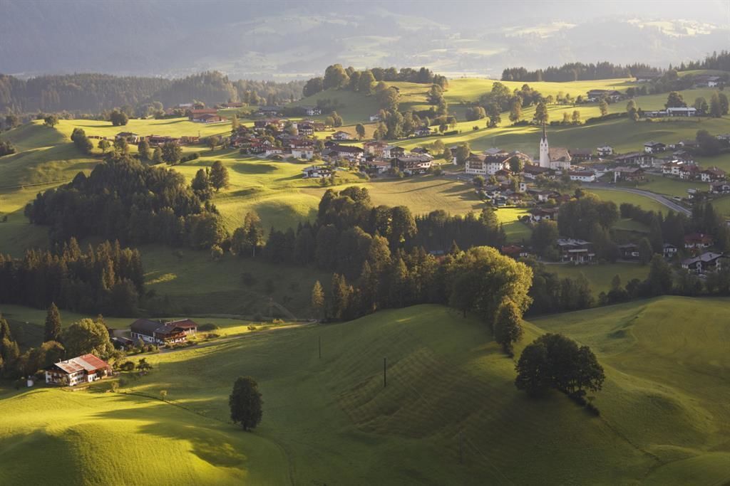
    in the center of Schwendt

More tours in the surrounding area

Newsletter

The mountain is calling? So does our newsletter!

In our monthly newsletter we reveal the best holiday tips for Tyrol.