
Opening hours:Open today
Place:
Kirchberg in Tirol
:
Alpine pasture / hut / mountain restaurant
Unspoilt nature!
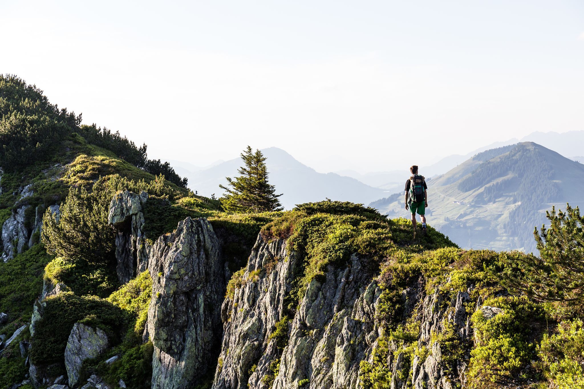
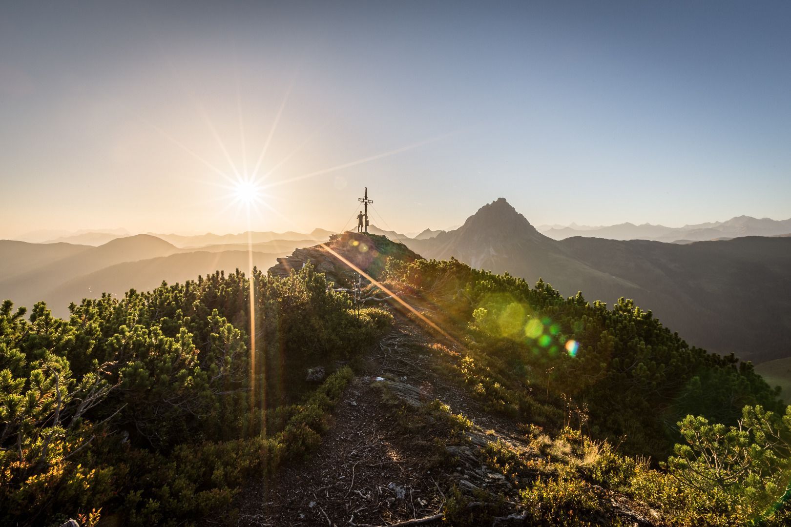
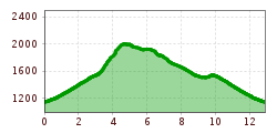
The starting point of our hike is the Hintenbach - Kasplatzl car park in the Spertental valley. First we take a short tarmac ascent to the Labalm, from where a wide, winding hiking trail leads us uphill, giving us the opportunity to let our gaze wander during the hike. Past the Hagelangeralm, the path becomes steeper and more difficult, with short sections that require full concentration and strength. With the large Rettenstein always behind you, it's worth stopping now and again to take in the view of the imposing rocky mountain. Once we have left the steepest part behind us, we hike on to the ridge that leads us to the summit of the Gesrstinger Joch, an incredible panorama and a certain freedom and vastness. With the summit cross constantly in sight, we savour every step up to the summit victory that will stay with us forever.
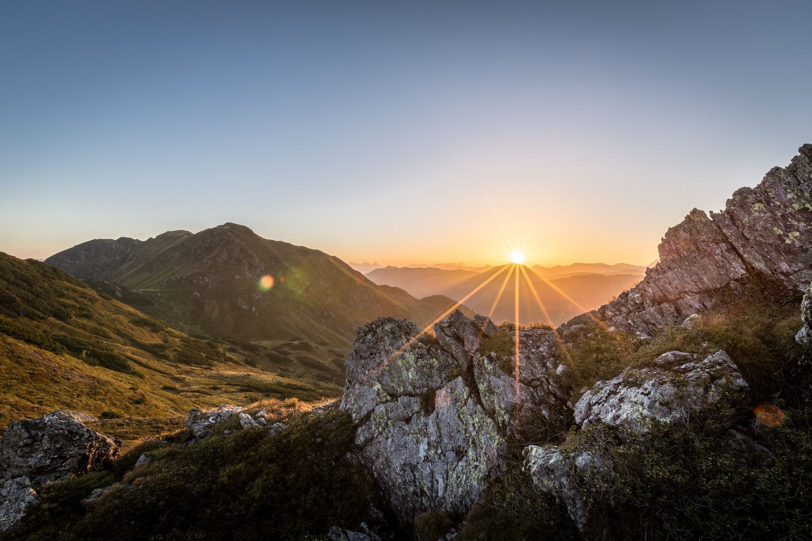
The descent leads us further along the ridge with a view into the Windau valley.The unspoilt nature, whose beauty and tranquillity can hardly be put into words.The path runs gently up and down, passing small pools. Once we reach the Hintenkarscharte, the descent continues to the Hintenkar Hochalm, where we can fill up our water bottles with fresh mountain water at the fountain so that we are well equipped for the last section of our hike.We hike downhill on a wide gravel path to the Hintenkaralm, where we turn right and cross the ditch to the Hagelangeralm, which we passed on the ascent.We take the wide hiking trail for the last few metres downhill to the Labalm.We have now really earned a refreshment stop, and we end the day in the shade of the large Rettenstein, just a few minutes' walk from the starting point.
bus stop Aschau Dorf
parking Ebenau
parking Kasplatzl - Hintenbachalm


_FULL12.jpg")
