Arrival by public transport
bus stop Sennerei Westendorf
railway station Westendorf
Windautal Wandertaxi
On the border between the provinces of Tyrol and Salzburg!
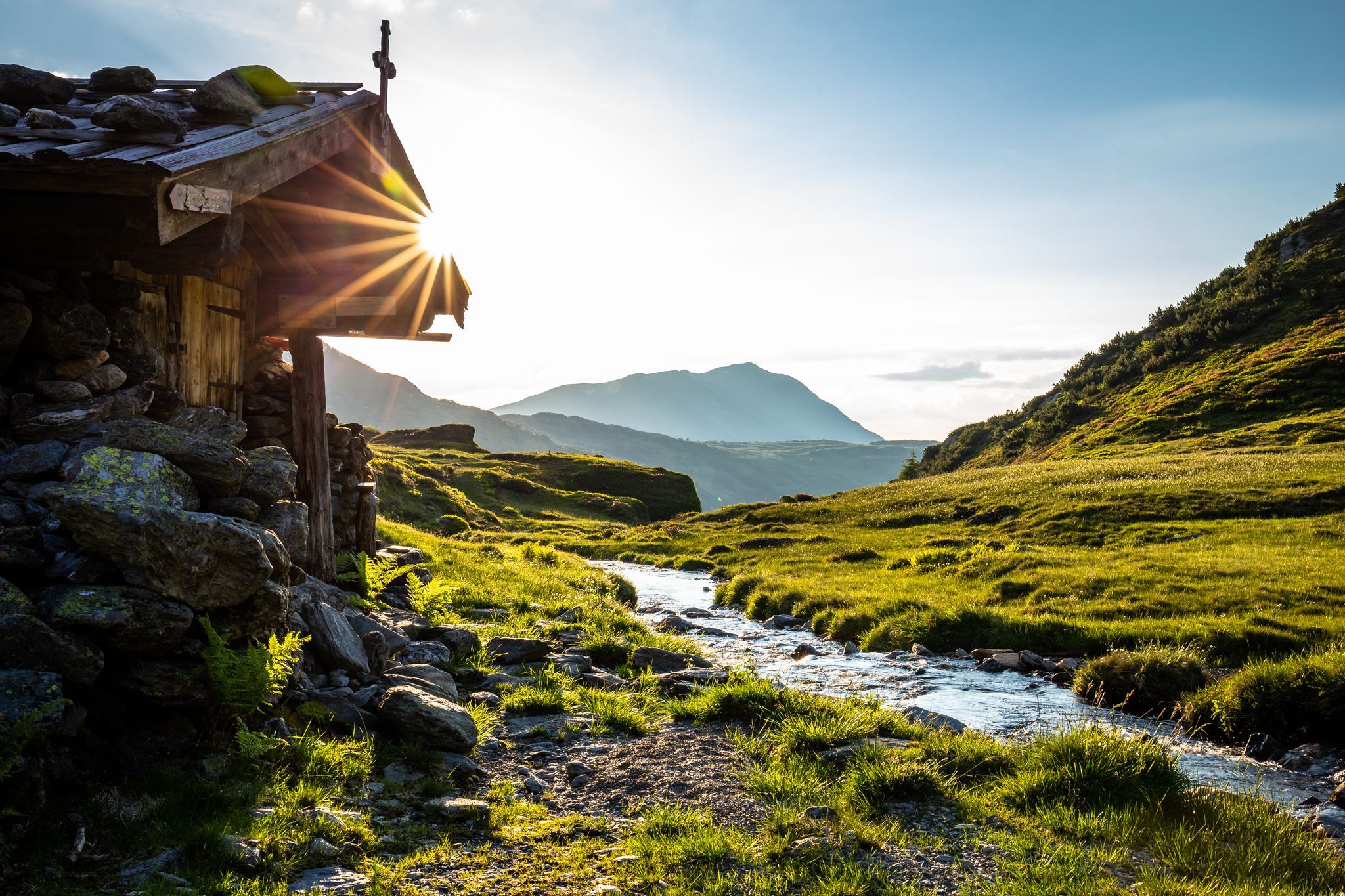
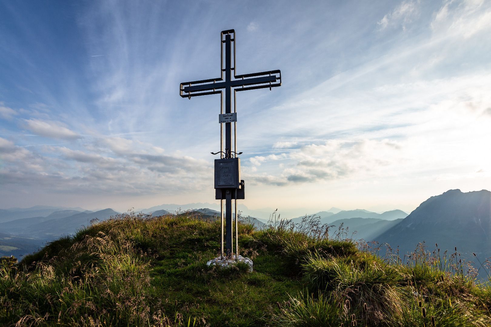

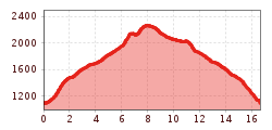
From the car park at the Gamskogelhütte in the Windautal in the municipality of Westendorf we turn left and cross the Windauer Ache via a footbridge. After a few minutes we reach the "Tagweidalm". From here a partially steep hiking trail leads us to the "Miesenbach". Cross this stream over a footbridge and walk along a forest road to the "Miesenbachalm". At the Alpine pasture we go through the gate and walk straight ahead on a very nice, slightly ascending hiking trail to the "Unterstandshütte". After the small hut we keep right and follow the relatively steep path to the "Gamskogel". After a well-earned rest, with a fantastic panoramic view, we continue our mountain tour in the direction of the "Steinkogel": At first we return along a small part of the path we know, but continue straight ahead at the signpost and reach a depression before the path becomes quite steep again. At the ridge (Speikkogel 2,239m) we turn right to the Steinkogel. If you want to climb to the summit, you have to do so via a ladder - so only suitable for sure-footed people! But we keep left at the Speikkogel and walk along the magnificent ridge to the "Geigenscharte". There are several signposts here. We turn left and thus reach the foot of the "Gamsbeil". (To the right would lead us to the "Frühmesser/Wildkogel" and the "Großer Rettenstein"). If you like, you can climb the remaining 150 m to the top of the "Gamsbeil". From the Gamsbeil we go back the same way to the ridge and follow the signpost to "Miesenbachalm". Following the markings, we go steadily downhill and back again to the shelter hut and the Miesenbachalm. Finally, we return along the same route to our starting point.
bus stop Sennerei Westendorf
railway station Westendorf
Windautal Wandertaxi
Gamskogelhütte


_FULL12.jpg")


