Winter hike Winterrunde Speicherteich- Nr. 432

closed
Oetz / Stubaier Alpen
Difficulty ratings: medium
Route length: 810 m
Duration: 0:19 h

PANORAMARESTAURANT HOCHOETZ - Speicherteich - PANORAMARESTAURANT HOCHOETZ

Tour information

  • Requirement: medium
  • Length: 810 m
  • Duration: 0:19 h
  • Elevation uphill:15 hm
  • Elevation downhill:15 hm
Highest point2,013 m

Starting point

Panoramarestaurant

Finishing point

Panoramarestaurant
  • Fitness level 3 / 6

Best time of year

  • January
  • February
  • March
  • April
  • May
  • June
  • July
  • August
  • September
  • October
  • November
  • December

Equipment

Please have a look at the weather forecast and the avalanche bulletin: https://www.oetztal.com/de/winter.html  & https://avalanche.report/albina-web/bulletin/2019-01-07?lang=de  Appropriate equipment such as breathable suitable outdoor clothes for the weather, wind-, rain-, snow- and sun protection, hat and gloves is for all hikes and tours necessary. Please bring a first-aid box, a mobile phone, a walking map and if there is no hut on the way a snack and enough to drink.
Source: Ötztal

Description

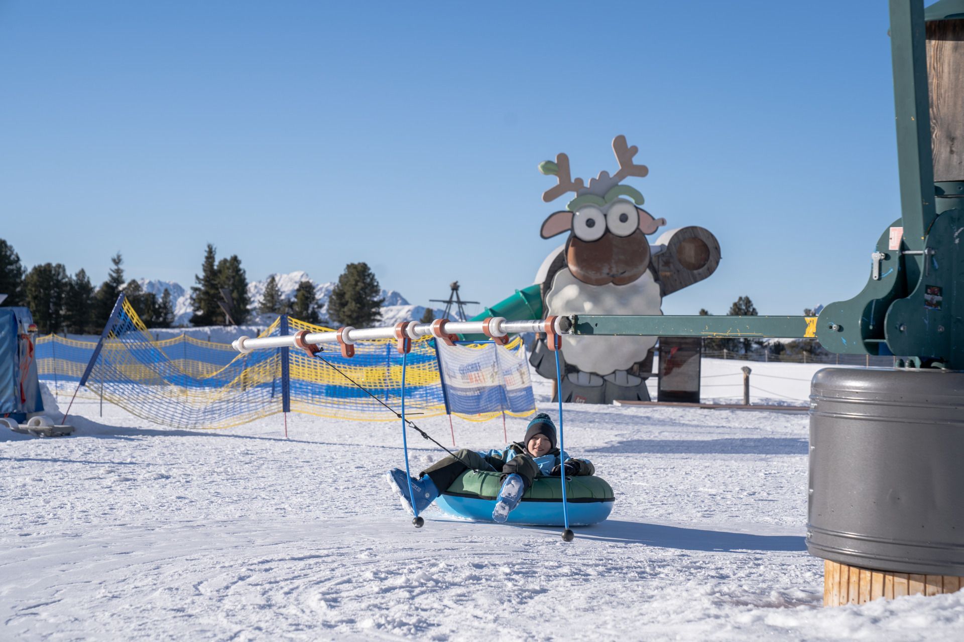
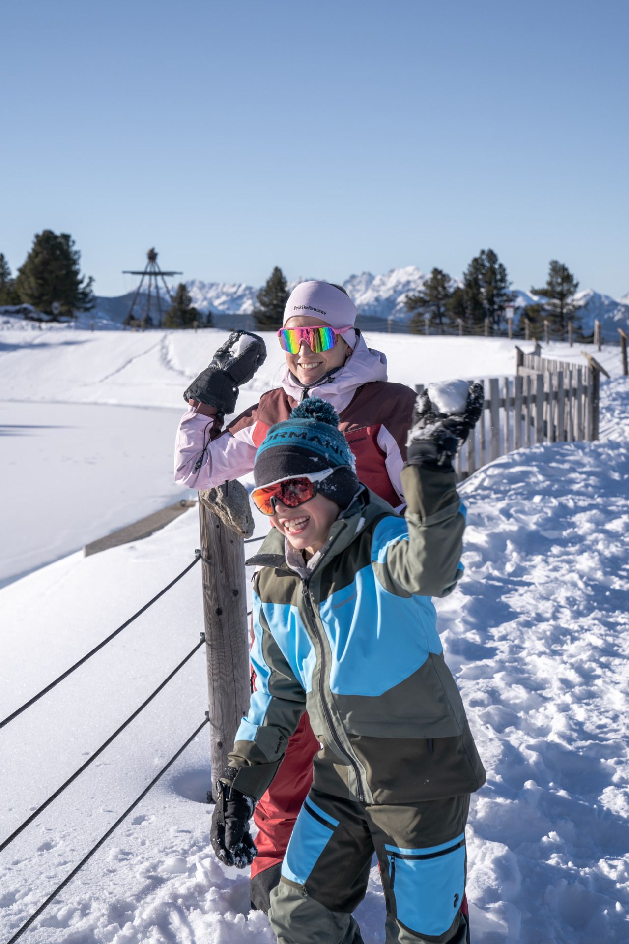
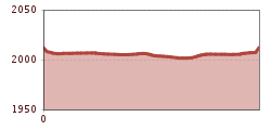
The easy winter hike leads from the panoramic restaurant around the reservoir and back again.

Nearby huts and mountain restaurants

Getting here

  • Arrival by public transport

    Enjoy a both comfortable and relaxing train ride to the train station in Ötztal Bahnhof. You get off the train in ÖTZTAL Bahnhof where you change to a public bus or local taxi. The current bus schedule can be found at: http://fahrplan.vvt.at

  • Parking

    The following parking facilities are available:

    Parking Acherkogelbahn - free for guests of the gondola lift, camping prohibited

    Parking next to the river (at the end of Oetz on the right hand side) – free of charge, but limited parking; camping prohibited

    Parking Oetz town center- parking fee

    Parking at night during several days' tours: Parking Oetz town center, the ticket is available at the tourist office Oetz.

    Parking at the Ochsengartencable car station. free parking, camping prohibited 

More tours in the surrounding area

  • Ötztal Trek Stage 3

    Difficulty: difficult
    Length: 10.4 km Duration: 4:00 h Elevation uphill: 842 m
  • Ötztal Trek Stage 10

    Difficulty: difficult
    Length: 11.1 km Duration: 4:30 h Elevation uphill: 1,476 m
  • Ötztal Trek Stage 1

    Difficulty: medium
    Length: 18.6 km Duration: 6:30 h Elevation uphill: 1,561 m
  • Ötztal Trek Stage 14

    Difficulty: difficult
    Length: 6.3 km Duration: 3:00 h Elevation uphill: 1,004 m
  • Ötztal Trek Stage 11

    Difficulty: difficult
    Length: 12.0 km Duration: 5:00 h Elevation uphill: 705 m
  • Winter hiking trail Rotes Wandl - No. 431

    Opening hours: closed
    Difficulty: easy
    Length: 1.5 km Duration: 0:45 h Elevation uphill: 52 m
  • Ötztal Trek Stage 21

    Difficulty: difficult
    Length: 9.4 km Duration: 4:30 h Elevation uphill: 1,270 m
  • Ötztal Trek Stage 6

    Difficulty: difficult
    Length: 7.6 km Duration: 3:30 h Elevation uphill: 640 m
  • Ötztal Trek Stage 17

    Difficulty: difficult
    Length: 16.4 km Duration: 6:00 h Elevation uphill: 1,080 m
  • Mountain peak Rosskopf

    Difficulty: medium
    Length: 2.0 km Duration: 2:00 h Elevation uphill: 379 m
  • Mutsbühl

    Difficulty: medium
    Length: 4.5 km Duration: 1:30 h Elevation uphill: 470 m
  • Fundusfeiler - Umhausen

    Difficulty: difficult
    Length: 4.5 km Duration: 3:00 h Elevation uphill: 1,109 m
  • Wilder Mann

    Difficulty: medium
    Length: 2.4 km Duration: 2:30 h Elevation uphill: 665 m
  • Siegerlandhütte - Sölden

    Difficulty: medium
    Length: 8.0 km Duration: 3:30 h Elevation uphill: 780 m
  • Stuibenfall hike - Umhausen

    Opening hours: open
    Difficulty: easy
    Length: 2.9 km Duration: 1:45 h Elevation uphill: 456 m
  • Ötztal Trek Stage 4

    Difficulty: difficult
    Length: 8.9 km Duration: 4:00 h Elevation uphill: 802 m
  • Ötztal Trek Stage 7

    Difficulty: difficult
    Length: 5.3 km Duration: 2:00 h Elevation uphill: 376 m
Newsletter

The mountain is calling? So does our newsletter!

In our monthly newsletter we reveal the best holiday tips for Tyrol.