Arrival by public transport
Take the bus on the line 4030 to the Waidach stop
Ein längerer etwas steilerer Anstieg, Schotter- und Asphaltweg

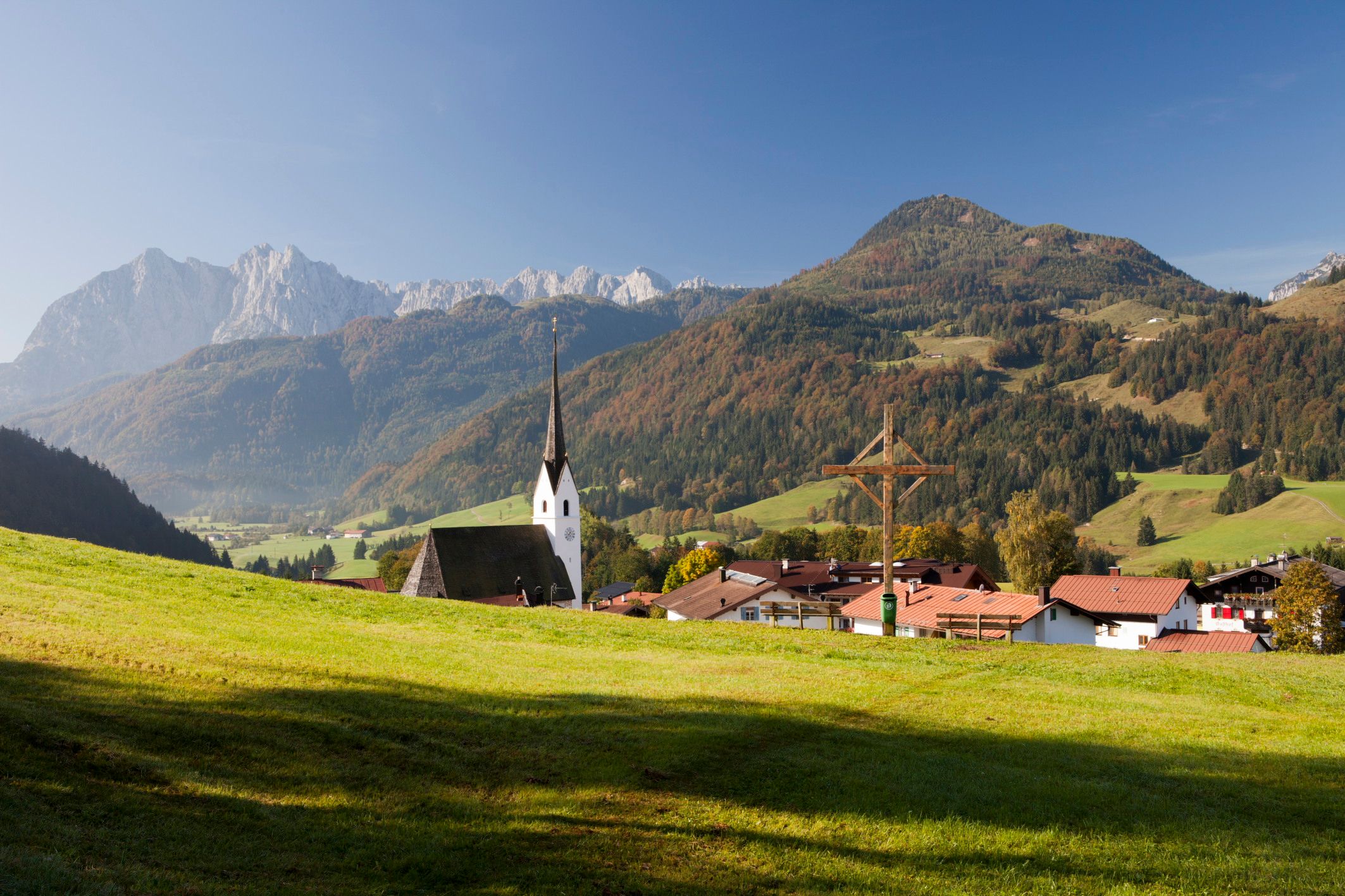

From the sports field across the golf course, towards Schwendt, at the fork in the road (pasture grate) straight ahead on a steeper climb to Gabichlbauer and on to Schwendterstraße. Cross this and over the narrow field path to Lucknerhof, left down to the campsite, at the beginning of the wooden fence left down the road, over the meadow path, the Niederachenweg to the Bruckwirt, on the Achendamm left further to the sports field.
Take the bus on the line 4030 to the Waidach stop
Parking is available in Kössen at the football pitch

.JPG")

.jpeg")
