Arrival by public transport
Bus stop Schwendt Dorf Line 4000
Schwendter Runde

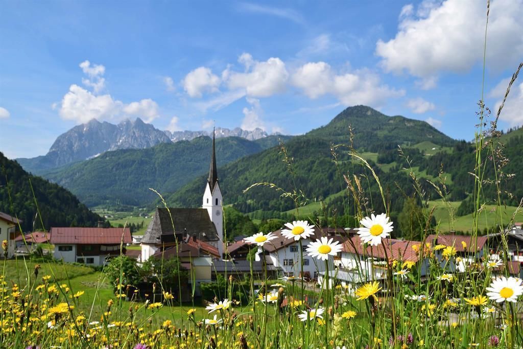
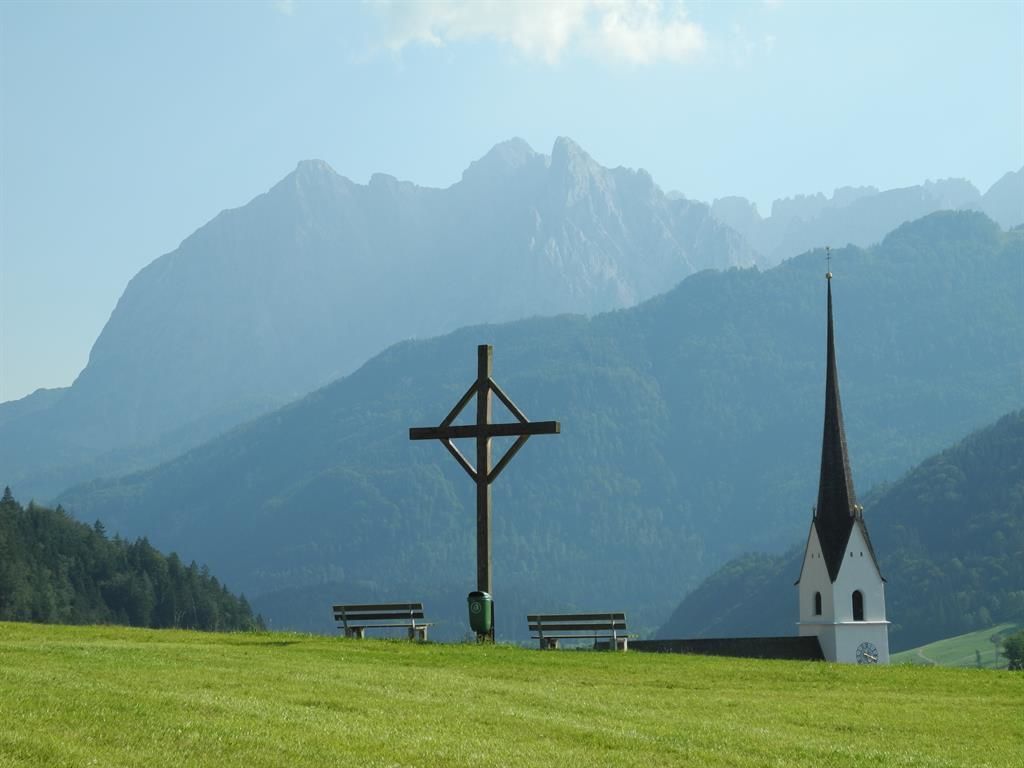

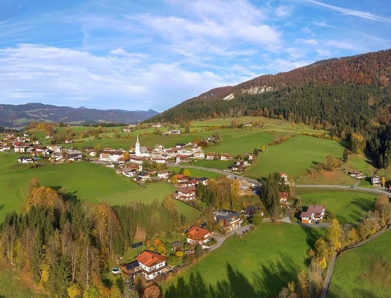
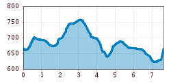
Start is at the parking lot next to the Schwendterwirt (free). In a westerly direction past the Gasthof Mairwirt, on Mühlau continue slightly uphill to Ausschnaitbauer. Follow the paved road, along the farms Ellmerer and Mitterstätt to the junction at Gasteighof. Turn right until the Unterleinhof and then walk on to the E-Werk. Through the E-Werk and slightly uphill to the Aschentalhof and the village street. Keep left here and follow the road to the Gemeindebauhof. Continue right until the Unterhochstätthof and turn right again into the path no. 61. This leads then across Schlecht and in way number 62 and 63. Via Schwabenbichl you get back to the starting point at Schwendterwirt.
Bus stop Schwendt Dorf Line 4000
Car park opposite Schwendterwirt in Schnwedt (village centre)
.JPG")

.jpeg")

