Babbling river, cool gorge, alpine panorama and summit enjoyment
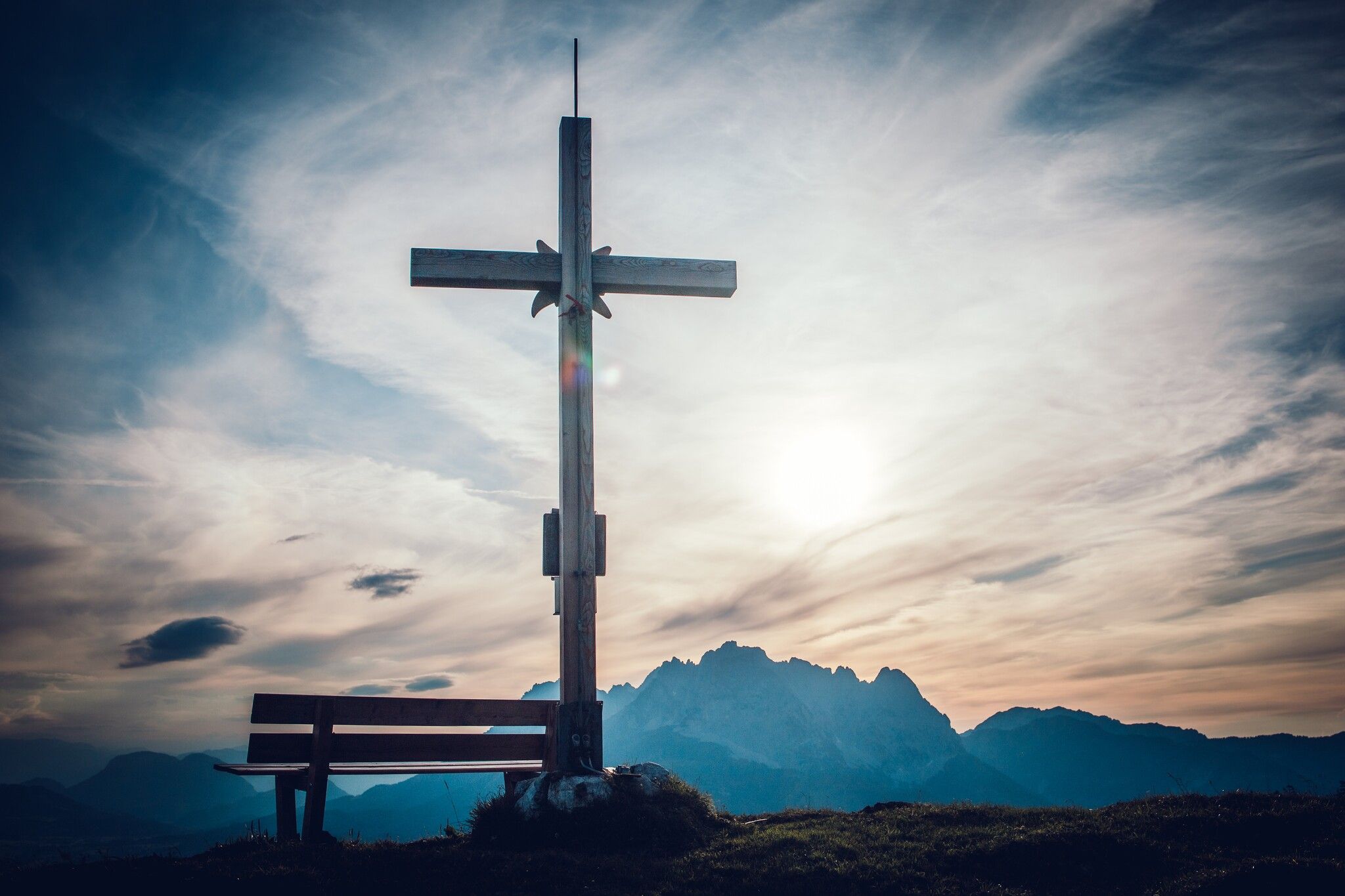
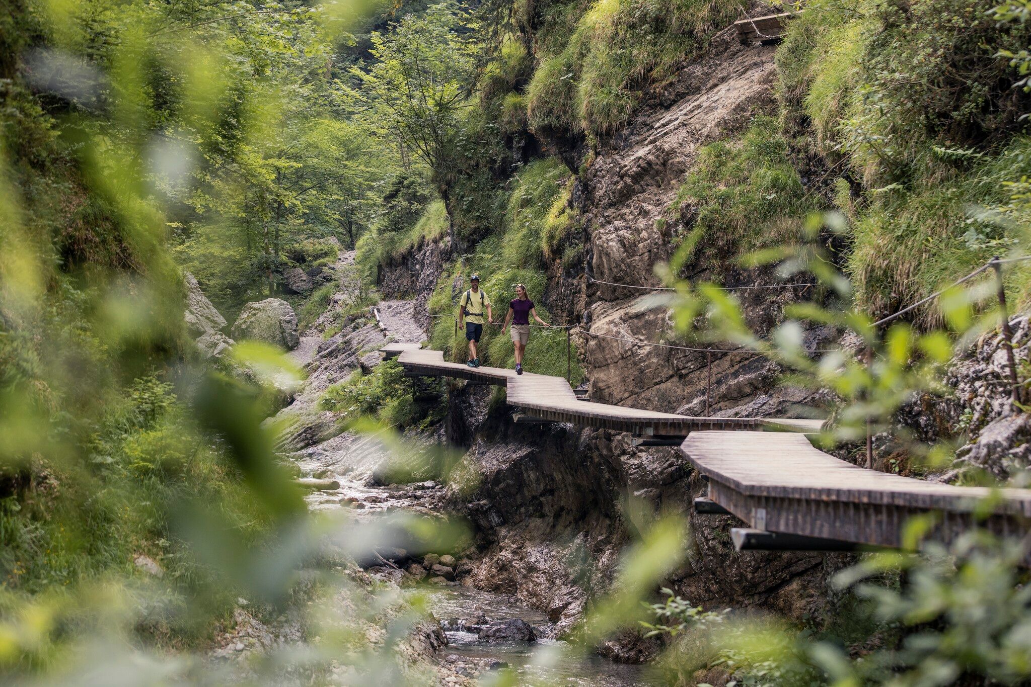
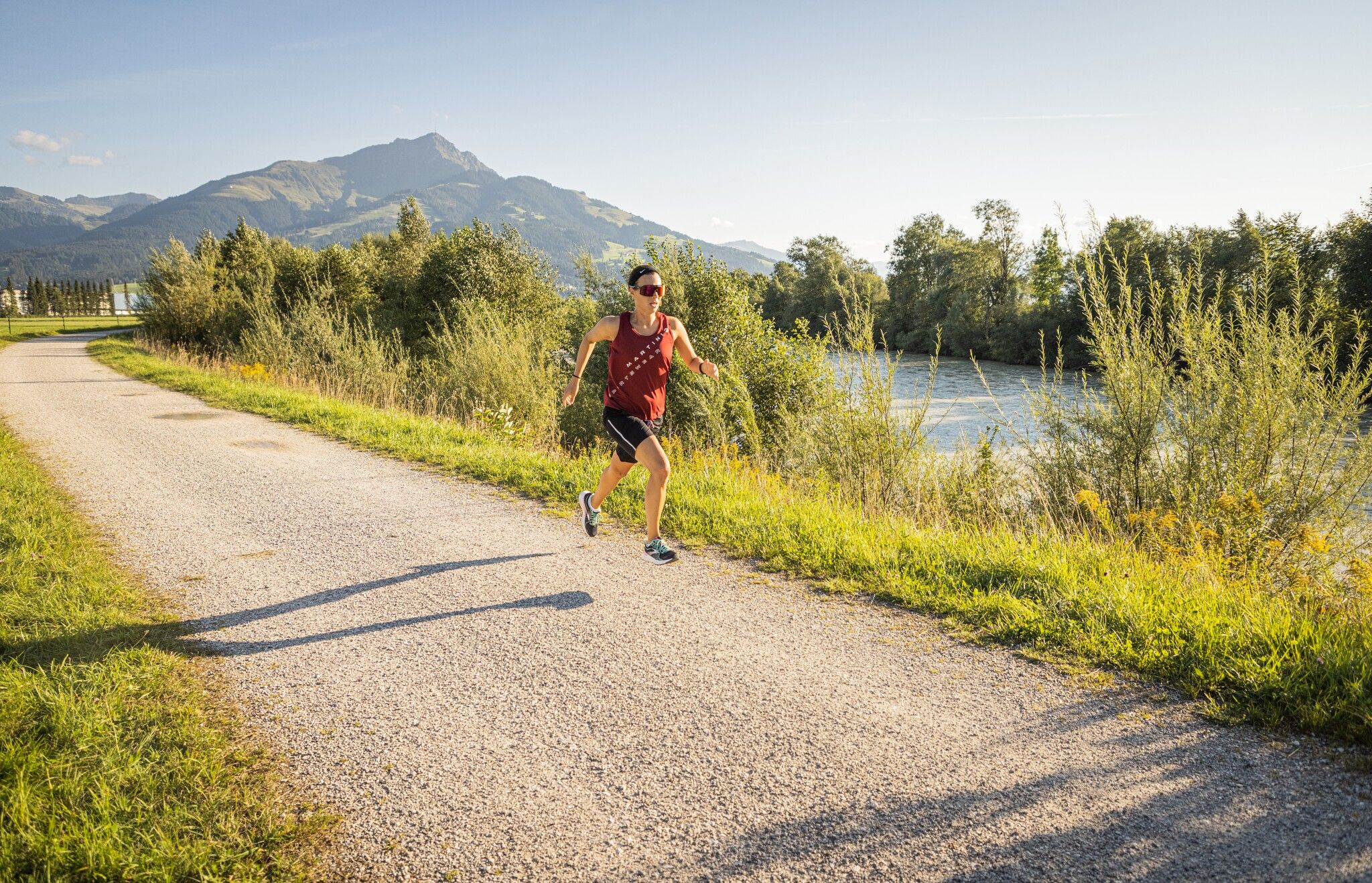
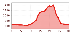
You start your run at the Infopoint on Steinlechnerplatz. Head towards the town center and after the bridge take the promenade on the left along the river Großache. Now follow the course of the river for approx. 7 km to Erpfendorf. There, an underpass takes you onto the Dorfstraße road and to the center of Erpfendorf. After the church, continue along Schleiffergasse into Rosenbühelweg. Follow now the signs 'Griesbachklamm'. Along Griesbach stream you run through the Griesbachklamm gorge. At the end of the gorge, the first major altitude challenge awaits you. The Jägersteig trail finally takes you uphill to the Angerlalm. At the small pond, stay on the path to the Baumooskogel. Via Grödingalm, Obingalm and Baumoosalm you reach the turn-off to Baumooskogel. After taking a deep breath at the impressive summit cross, you start your valley run to St. Johann in Tirol via the hamlets of Scheffau and Oberhofen. After the farms in Oberhofen, you run left along fields to the Fieberbrunner Ache. The river takes you to the town center. You reach your starting point via the main square and Kaiserstraße.
