
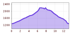
Length:13.0 kmDuration:2:45 hElevation uphill:850 m
Training, 1000hm and good for the eye. It goes into the Sandestal to the Tribulaunhütte. Up by forest road, above two variants, the upper is called: +180 hm and trailing. After the Tribulaunhütte, the probably flowiest trail of the Gschnitztal awaits you - let it trail. But the cows want to be greeted with silence in summer. Enjoy the acquaintance with the cows, otherwise let it rip. A splashed apple juice at the hut can do well!
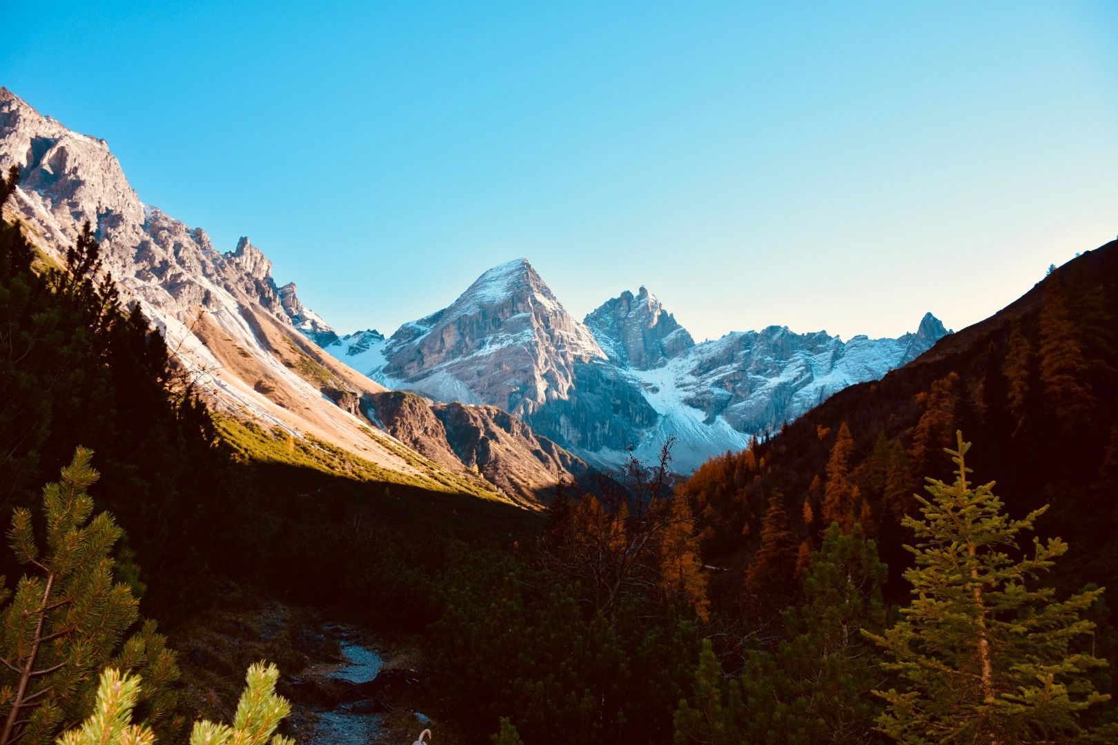
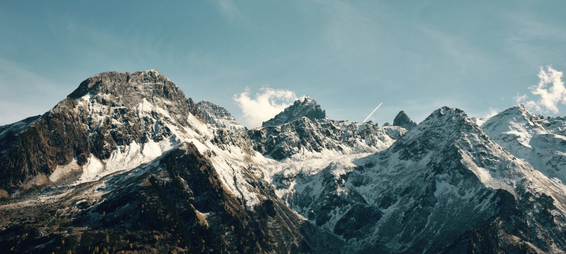
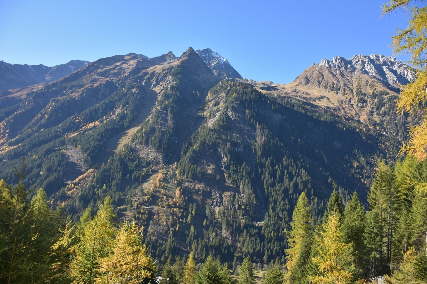
From the parking lot 100 m in the direction of Laponesalm to the west, then turn left in the direction of Gschnitzer Tribulaunhütte. Follow this forest road up to 1980m above sea level. From here you can continue briefly to the hut or make a detour: half right on a trail in the direction of Pflerscher Scharte and Gargglerin. After a few serpentines turn left again towards the Tribulaun hut and under the north face of the Tribulaune to the hut. From the hut on the orthographically right side of the Sandesbach on a perfect trail back to the starting point!


.JPG")


.png")


 Andi Frank_TVB PillerseeTal (133).jpg")


")


