
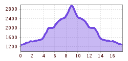
Length:13.0 kmDuration:2:45 hElevation uphill:850 m
Almost 2000 hm on a magnificent panoramic mountain, short via ferrata passage - path partly exposed and holding necessary. On the way back, be sure to plan a snack at the Laponesalm!
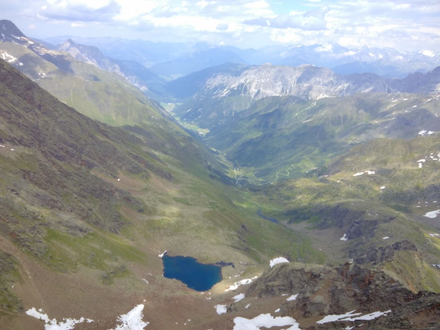
From the parking lot on the paved path downhill. Before the small bridge over the Gschnitzbach continue straight ahead on the single trail to the Labonesalm. On the alpine path uphill to the marked junction to the right to the Bremer Hütte. Past the picturesque Simmingsee to the hut.
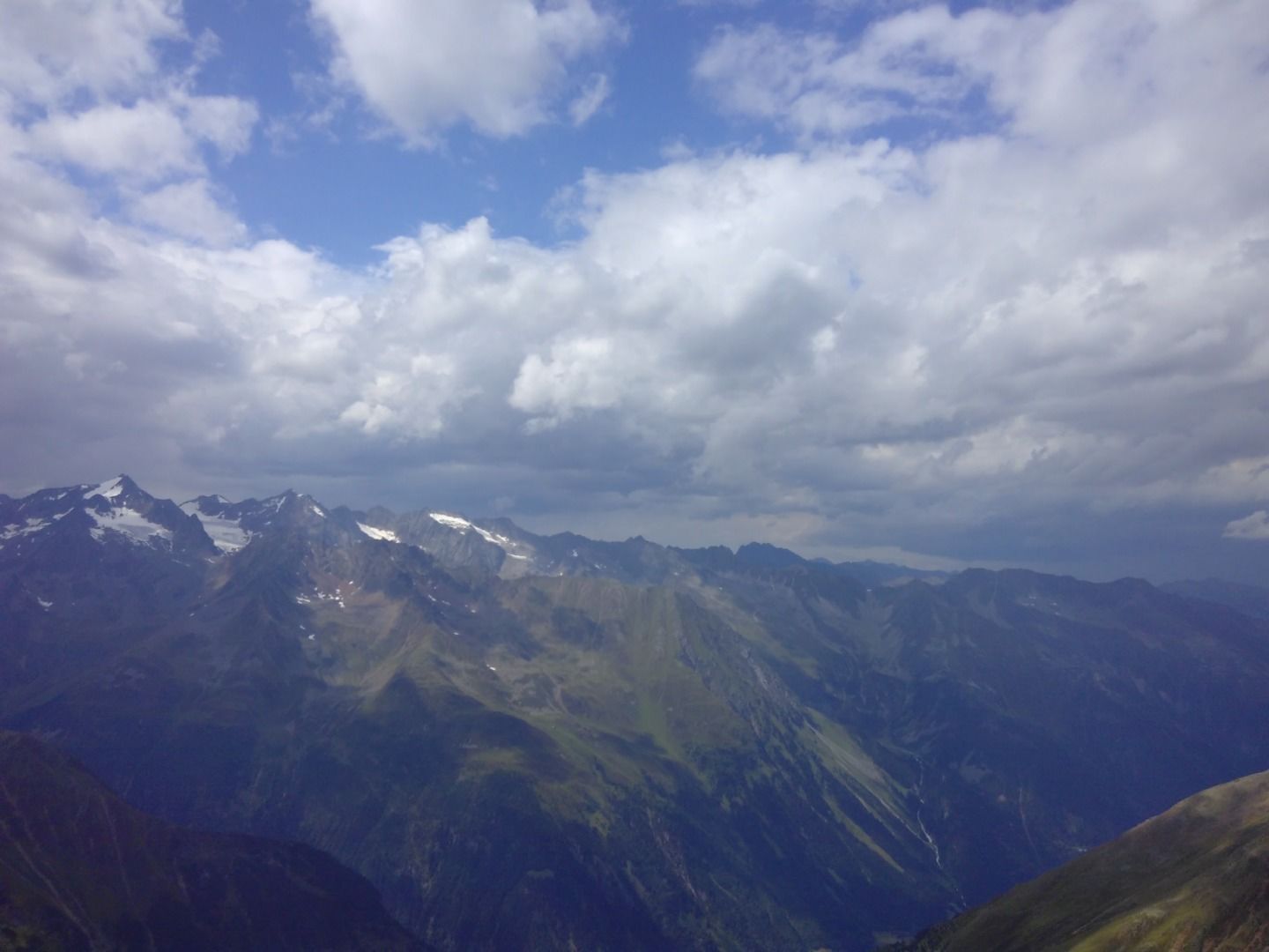
Then follow the signposts in the direction of Innere Wetterspitze. 200 m after the hut keep on the right path, otherwise there are no turn-offs until the summit. In the upper part surefootedness is required, partly there is a danger of falling!
After the summit break along the ascent path back to the starting point.
Equipment for high alpine terrain: cell phone, trail shoes with grippy soles, change of clothes (long), rain jacket, warm gloves, warm hat, emergency kit (at least emergency blanket and whistle), liquid, if necessary food, headlamp, map, if necessary shoe spikes.


.JPG")


.png")


 Andi Frank_TVB PillerseeTal (133).jpg")


")


