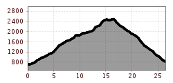
Trail running Landeck - Imst S4T

Arzl im Pitztal /
Difficulty ratings: difficult
Route length: 26.5 km
Duration: 10:15 h

Trail route along the original route of the former Salomon4Trail, starting from Imst-Pitztal railway station via the Imsterberger Venetalm to the Glanderspitze and from there down to Landeck.

Tour information

  • Requirement: difficult
  • Length: 26.5 km
  • Duration: 10:15 h
  • Elevation uphill:1,880 hm
  • Elevation downhill:1,770 hm
Highest point2,512 m

Starting point

830

Finishing point

817
  • Fitness level 5 / 6
  • Technique 3 / 6

Best time of year

  • January
  • February
  • March
  • April
  • May
  • June
  • July
  • August
  • September
  • October
  • November
  • December

Trail condition

Fahrweg, Forstweg, Steig, Wiesenweg
Source: Pitztal

Description

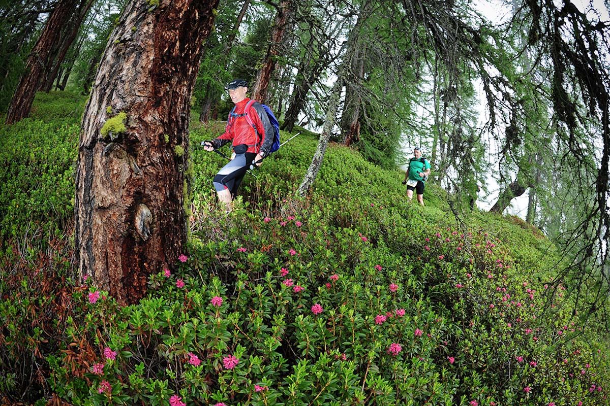
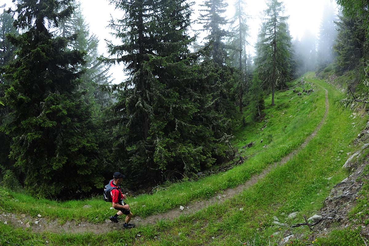
In the morning, you drive to the railway station in Imst. From there, you run along the original route of the Salomon4Trail. The route leads via Imsterbergjoch, Kreuzjoch, Glanderspitze and parts of the Via Claudia Augusta past Landeck Castle to Landeck parish church.

More tours in the surrounding area

Newsletter

The mountain is calling? So does our newsletter!

In our monthly newsletter we reveal the best holiday tips for Tyrol.