
Opening hours:Open today
Place:Thaur
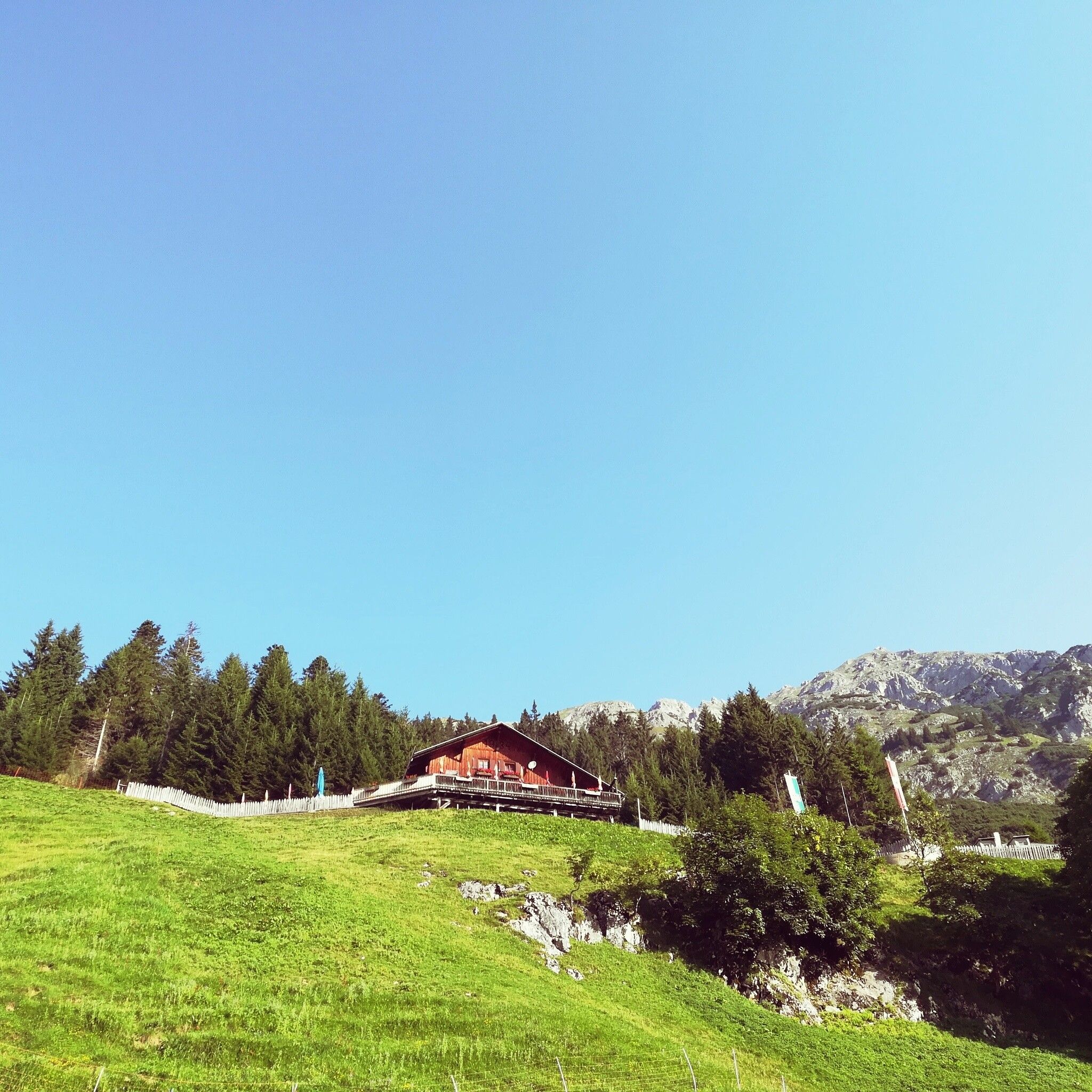
:Alpine pasture / hut / mountain restaurant
Challenging mountain running route with views of the Inntal, the Kaisersäule, and the surrounding mountain landscape
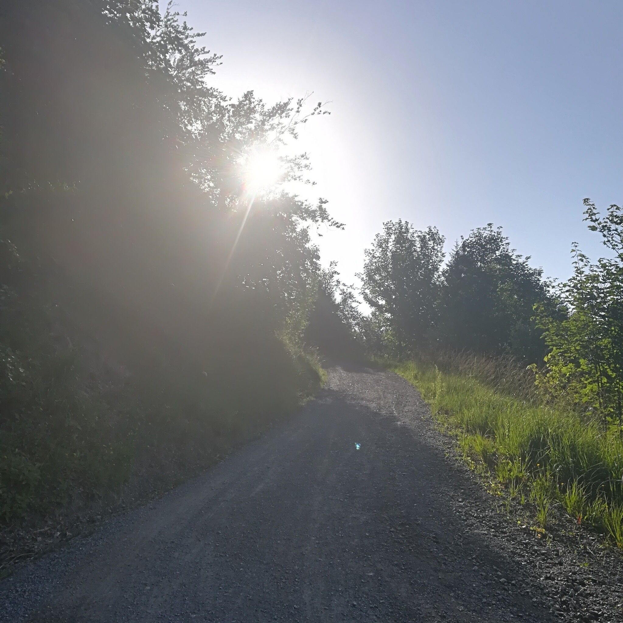
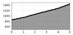
This mountain running route offers forest road or hiking path - depending on your condition that day.
There is the possibility to reach the Thaur village center by "Line 501" from Hall i. Tirol or Innsbruck.
From there, it is about a 10-minute walk to the starting point.
More information at:
www.vvt.at
There is plenty of parking at the starting point.
