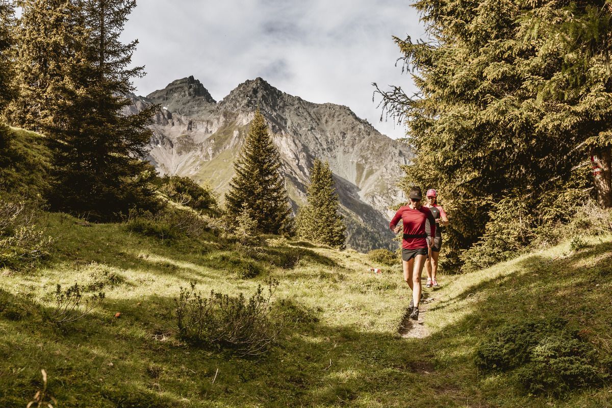
A very varied and longer trail run which, due to the low altitude, can also be done in autumn or spring.
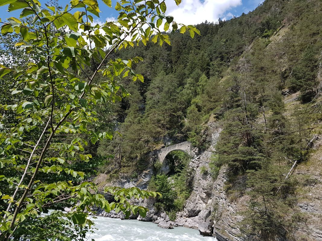
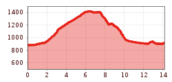
The tour starts in Ried directly after the bridge towards Serfaus-Fiss-Ladis and turns left towards Lourdes Kapelle and Tösens. Along the old Via Claudia Augusta, the tour continues to Frauns and then climbs over a few serpentines to the sunny plateau to the Serfaus fields. The trail continues directly into the village of Serfaus - to Untergasse and here the trail turns into a forest path and leads down to the little church of St. Georgen. A panoramic view is guaranteed here! After St. Georgen, the tour continues along the road for a part of the way before the trail turns into a forest path again. This leads down to Untertösens. Afterwards it goes left to Untertösens and over the Via Claudia Augusta and back to the starting point.
