
Opening hours:Open today
Place:Jerzens
:Restaurant, Alpine pasture / hut / mountain restaurant
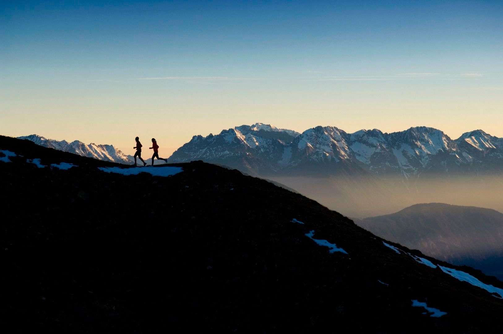
Sechszeiger circuit
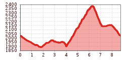
From the intermediate station run along the agricultural road to the catered mountain hut Tanzalm. Then continue on this road for three kilometres all the way to the valley station of the Zirben mountain railway. At the following road junction follow the agricultural road on the left all the way to the starting point of the Single Trail 4A. This trail overlooks the catered mountain hut Leiner Alpe (which is ideal for a break), until it almost reaches the north ridge of the Sechzeiger mountain. At the fork turn left and run uphill along the ridge to the Sechzeiger summit cross. Just before the reservoir pond and near the summit cross, a steep trail leads downhill back to the agricultural road. Once there, turn left and follow the road until you reach the starting point of the Single Trail. Then follow the Single Trail across an alpine meadow back to the intermediate station.
Take the bus till the bus stop Jerzens Hochzeiger.
Free car park at the valley station of the mountain lift Hochzeiger.


.JPG")


 Andi Frank_TVB PillerseeTal (133).jpg")
")

.png")

