Spieljoch - Hochfügen high trail

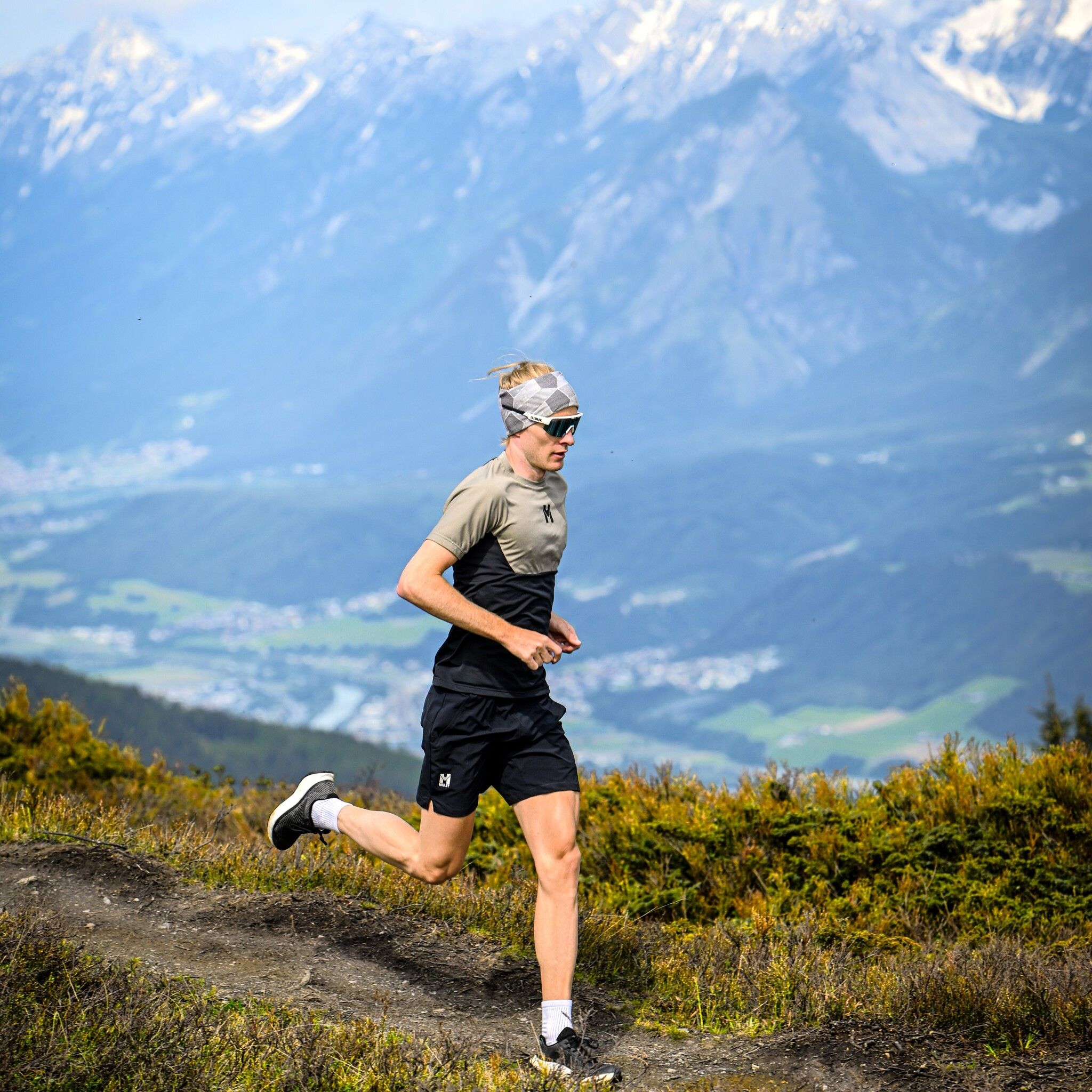
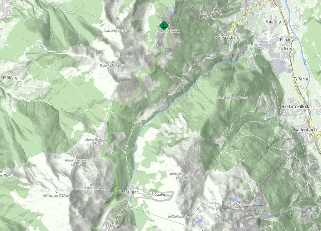
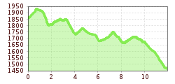
From the Spieljoch, follow the beautiful high trail slightly downhill to Hochfügen.
From the starting point at the Spieljochbahn mountain station, you start by walking briefly uphill to the summit cross
of the Spieljoch. Now the beautiful high-altitude trail to Hochfügen begins. Slightly undulating, but
downhill, you walk to the rustic Gartalm in the area of the tree line. Continue
on the south side along the mountain slope below the "Kuhmesser" to the Loassattel, which marks
which marks about half of the route. After a short section of forest path, the route continues
continues along a path through the sparse mountain forest. Once you have reached the Lamark Niederleger
downhill to the finish in Hochfügen.
Tip: For runners in good physical condition, the route from the Loassattel can be perfectly combined with the "Gilfert-round" can be combined!
