Arrival by public transport
Direct bus connection from Innsbruck main station (line: ST590) to the Klaus Äuele bus stop.
Trail run with arrival just short of the 3000m mark
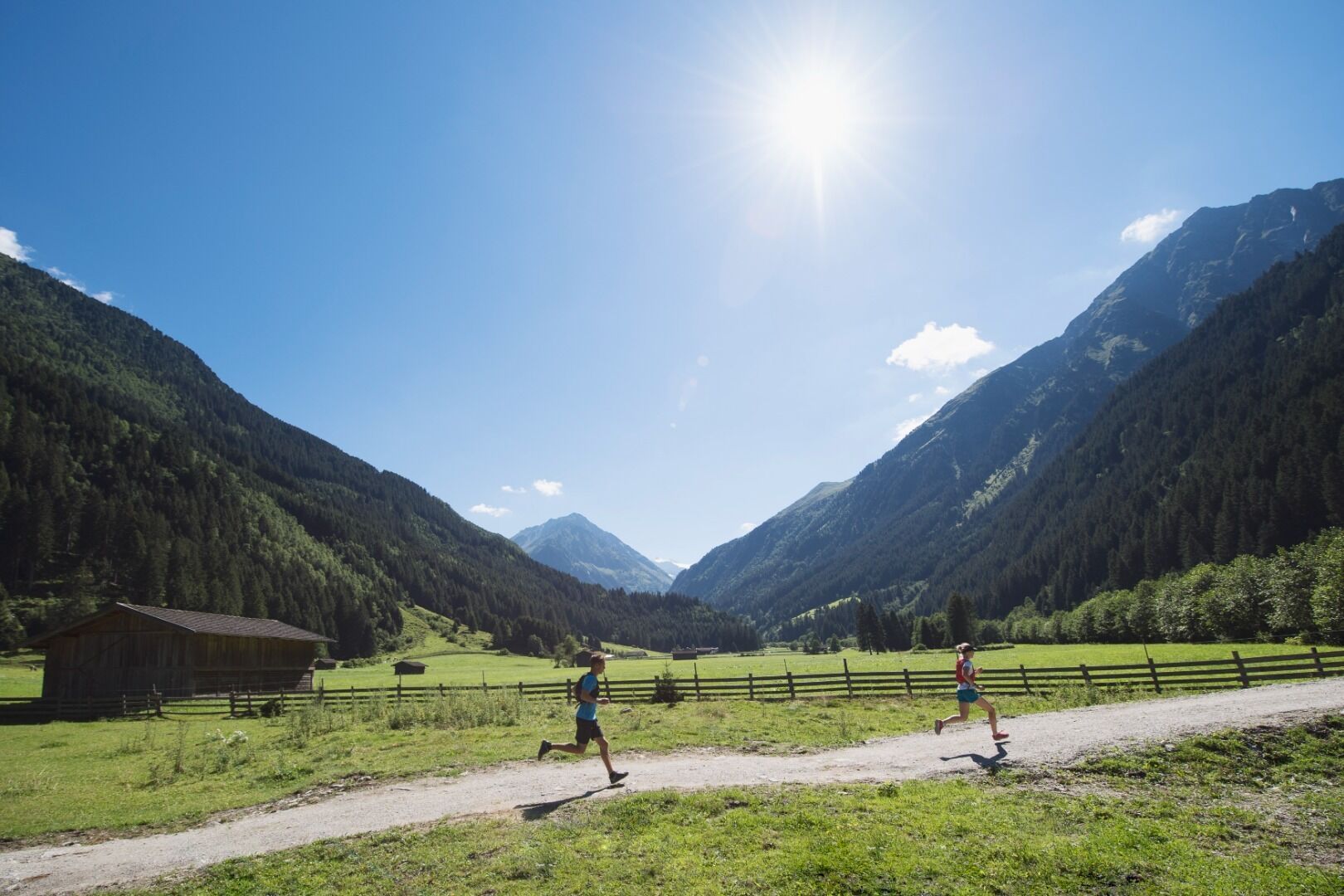
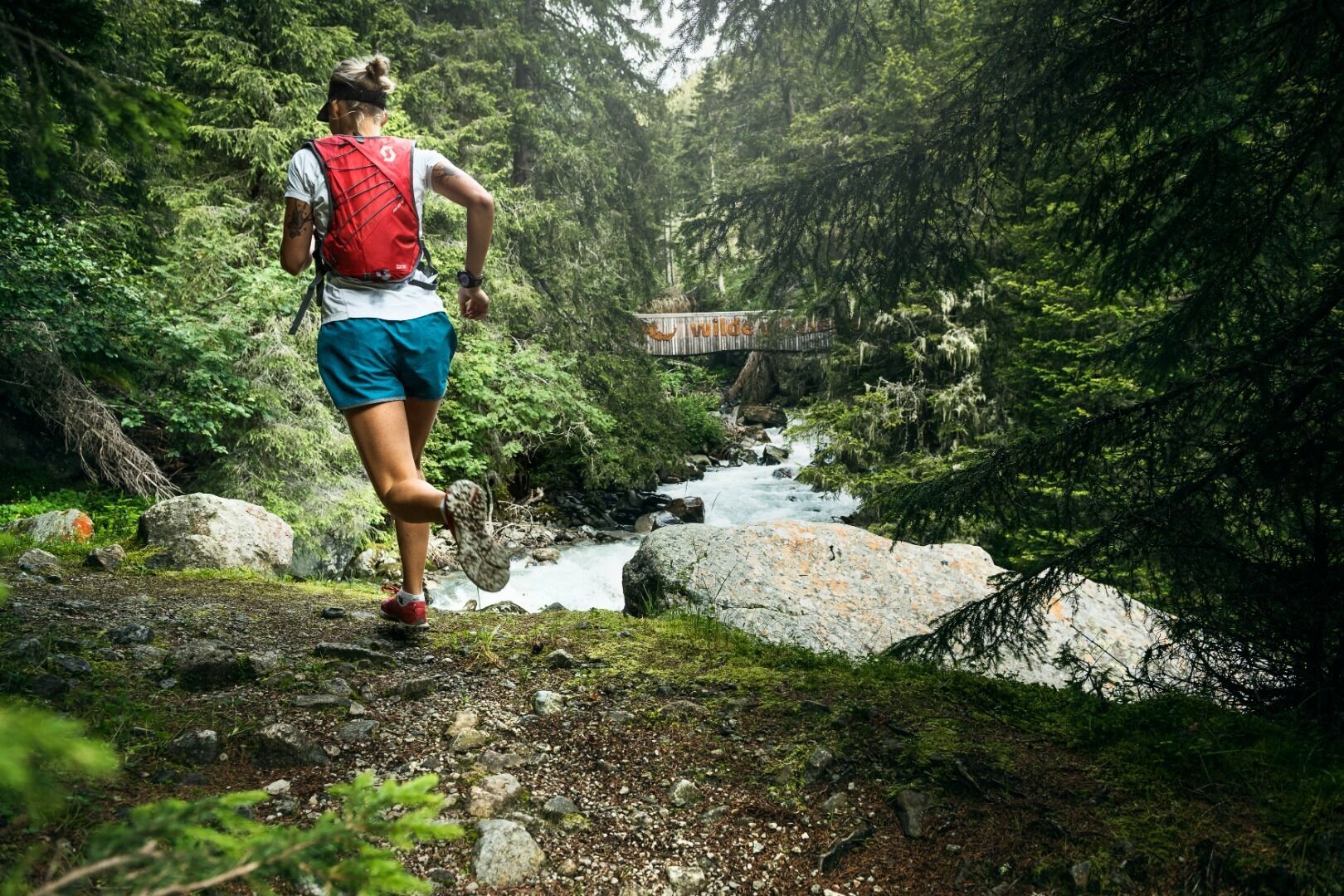
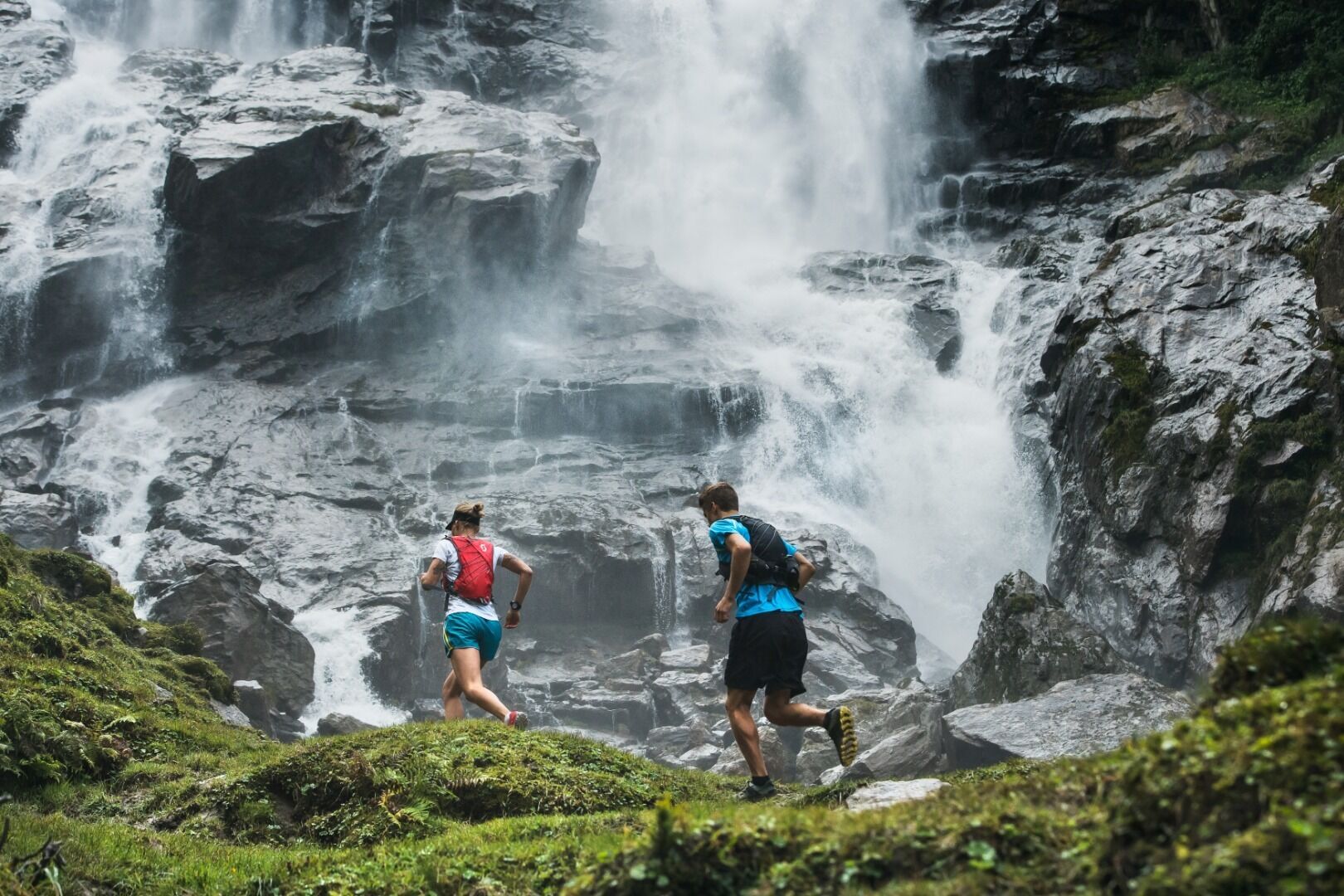
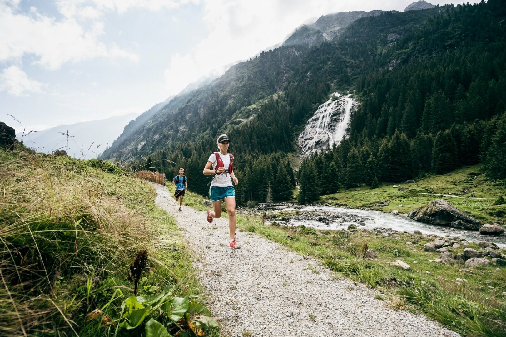
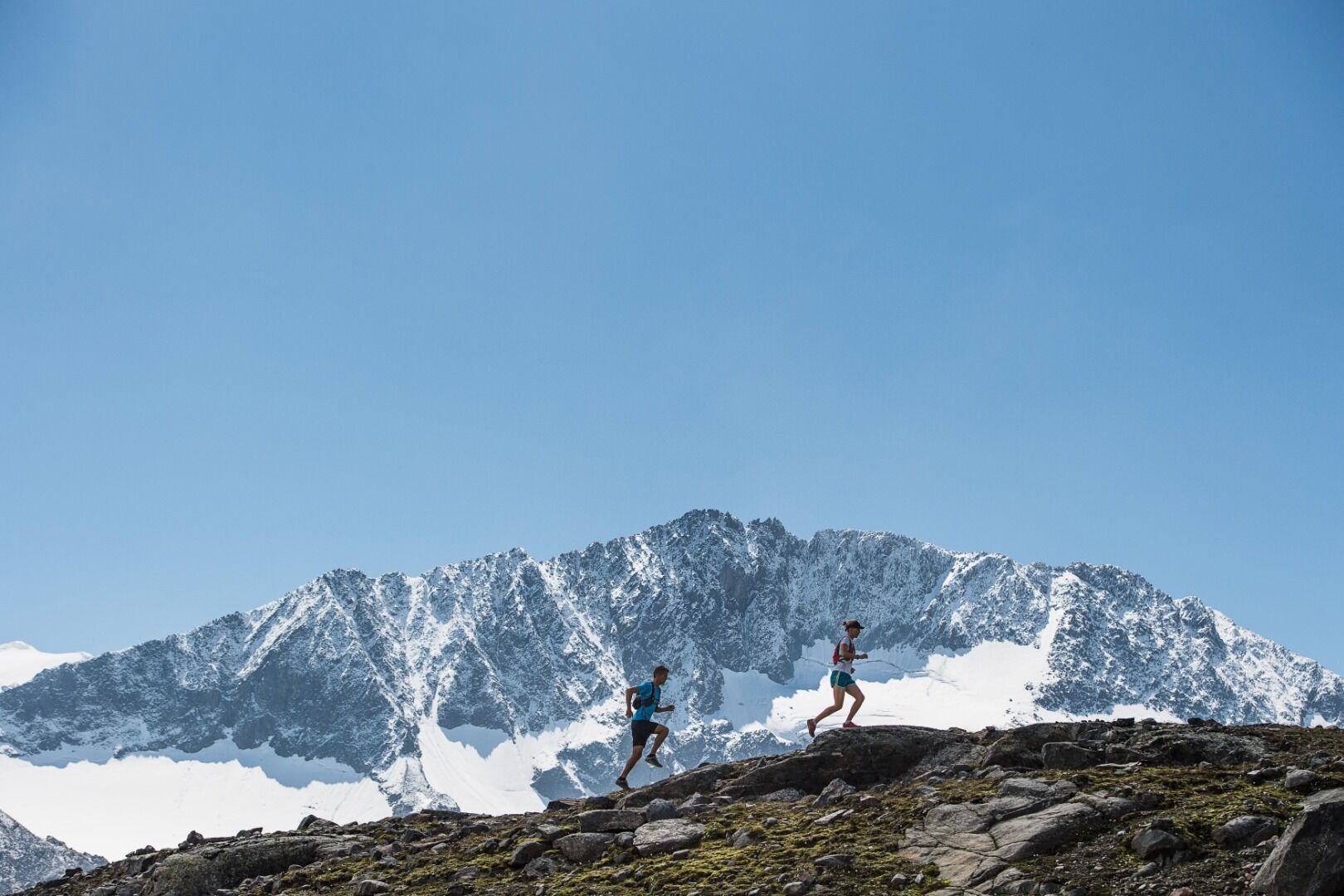
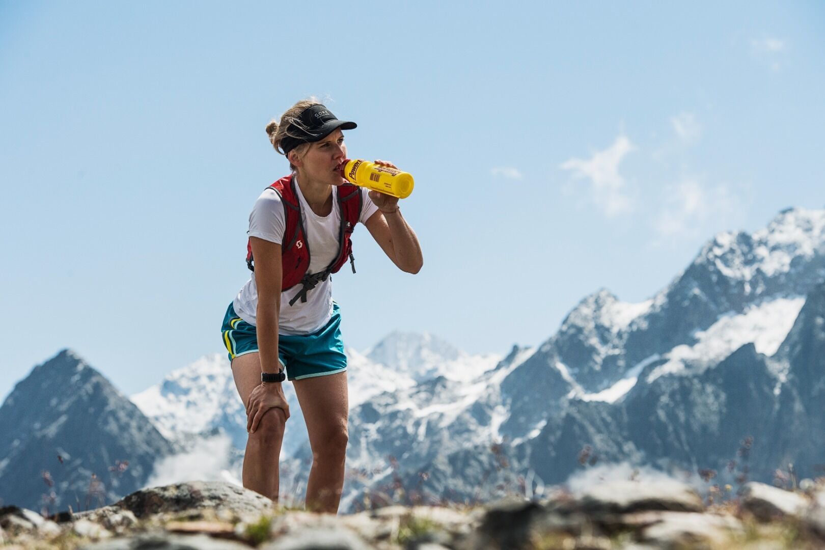
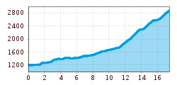
The STUBAI K18 is a trailrun that impresses with its scenic beauty on a total distance of more than 18 kilometres and 1,796 metres of altitude. The start will take place in Klaus Äuele near Falbeson and after a short time the WildeWasserWeg, the first highlight of the course, awaits the participants. The last interesting part leads runners over a spectacular final ascent - over snow and ice to the finish near the mountain station Eisgrat (2,960 m) at the Stubai Glacier.
Direct bus connection from Innsbruck main station (line: ST590) to the Klaus Äuele bus stop.
Paid parking in Falbeson near Klausäuele, free parking for holders of the guest card.


.JPG")


 Andi Frank_TVB PillerseeTal (133).jpg")
")

.png")

