
Place:Neustift im Stubaital
:Restaurant
Short but crappy trail into the kingdom of snow
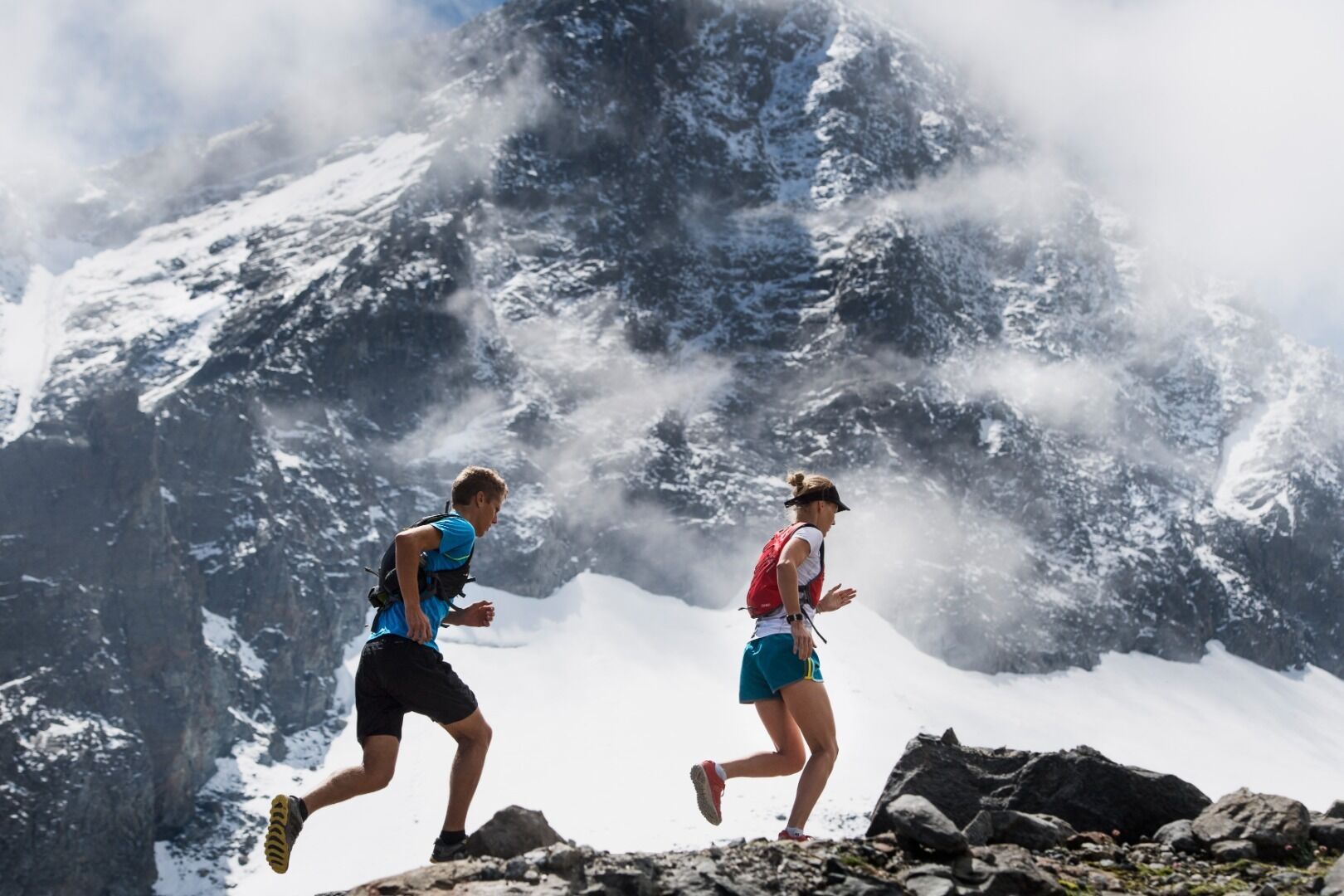
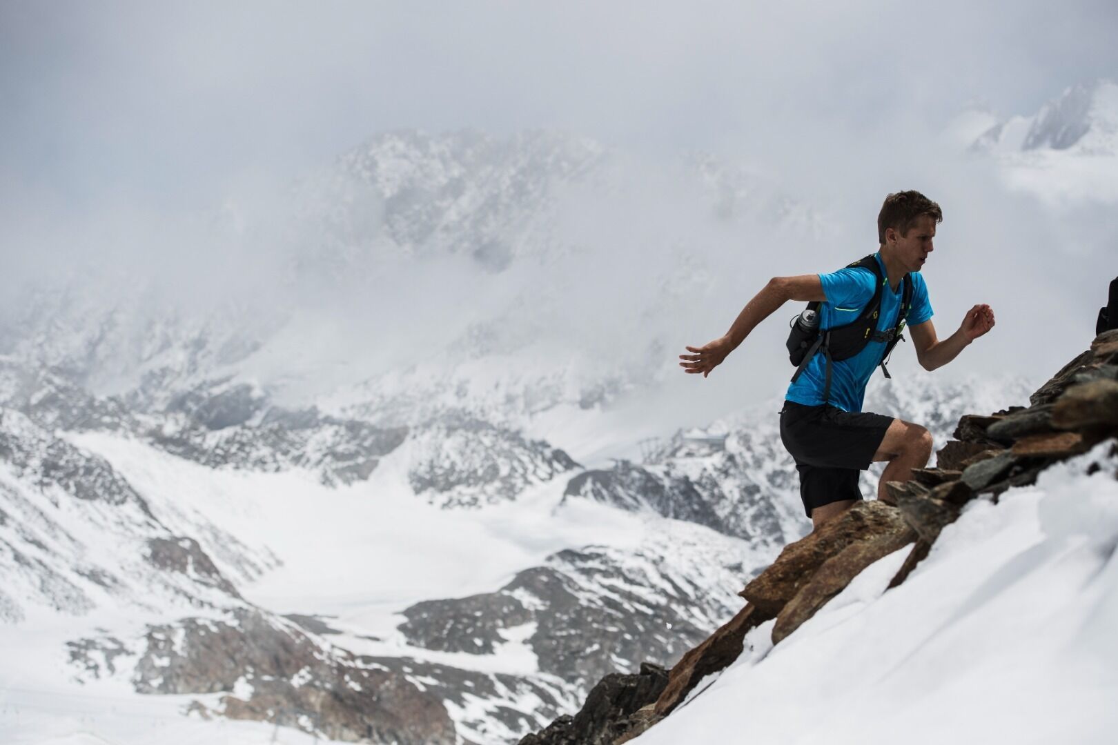

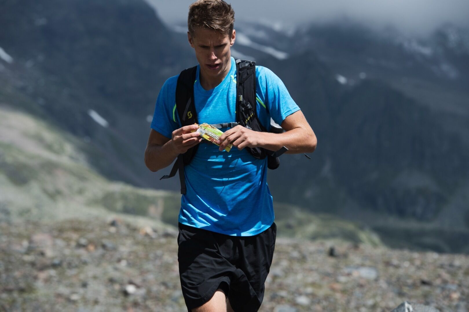
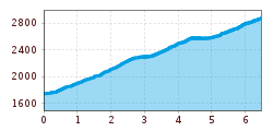
The STUBAI K8 Trail is a pure mountain run. The trail is located along the last stage of the STUBAI ULTRATRAIL. The start is situated at the valley station of the Stubaier Gletscherbahnen near Mutterberg and leads over steep serpentines, past the Dresdner Hütte over stone, snowfields and ice at 2,960 metres to the finish at the mountain station Eisgrat. In total, 1,210 hard metres of altitude have to be mastered over a total length of 8 kilometres.
Direct bus connection from Innsbruck main station (line: ST590) to the Mutterberg bus stop.
Free parking at the valley station of the glacier lift.


.JPG")


 Andi Frank_TVB PillerseeTal (133).jpg")
")

.png")

