Trail 3-Gipfel-circuit
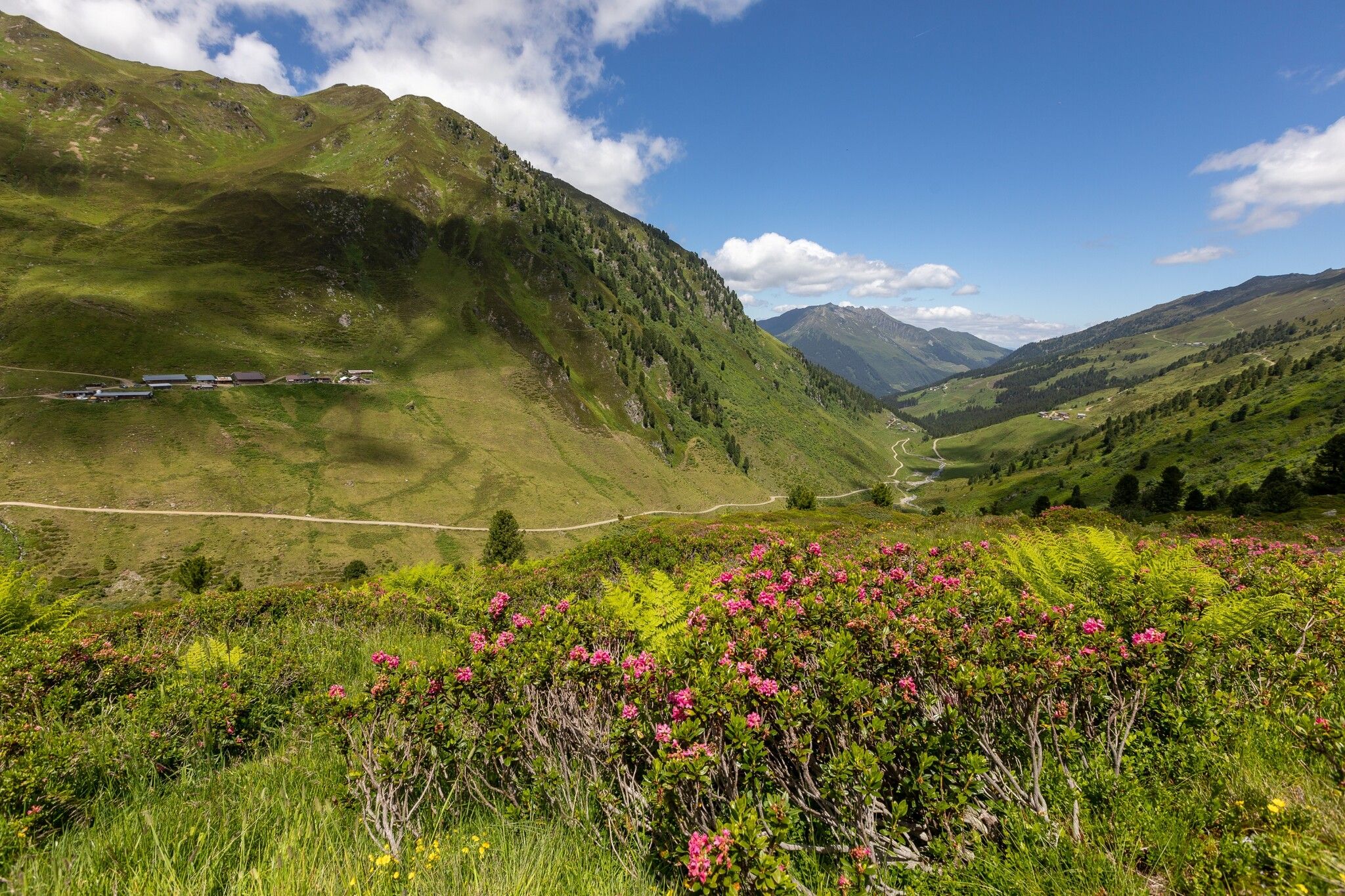
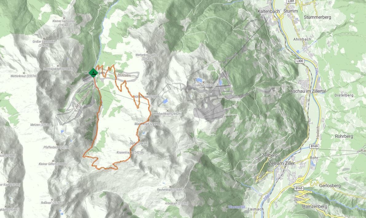
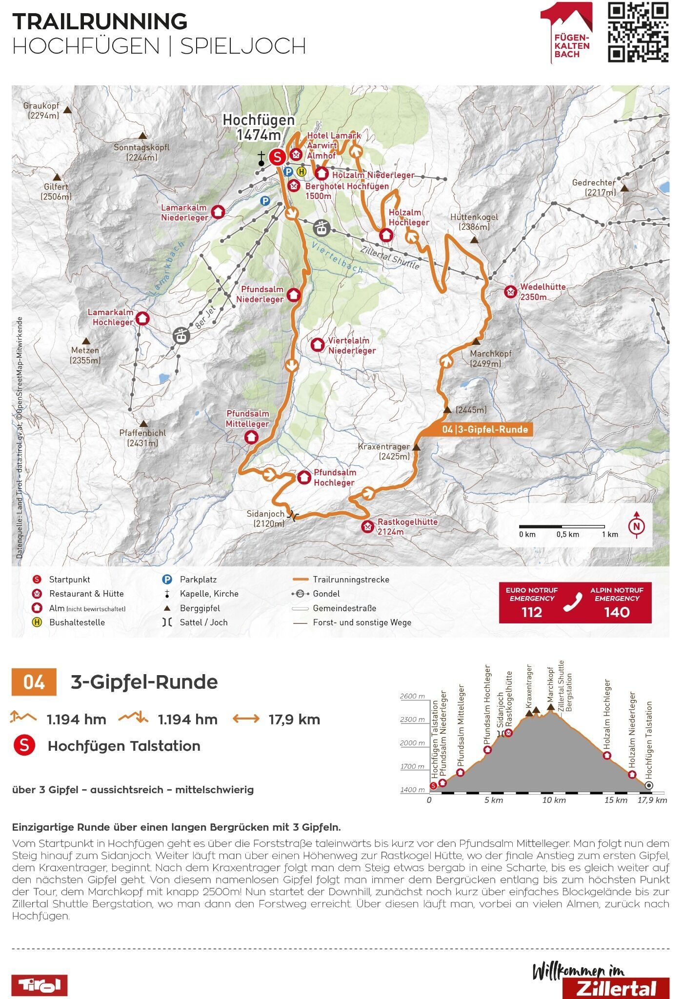
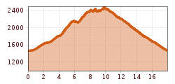
Unique tour over a long mountain ridge with 3 peaks.
From the starting point in Hochfügen, take the forest road into the valley until shortly before the Pfundsalm
Mittelleger. Now follow the path up to the Sidanjoch. Continue along a high trail to the Rastkogel hut, where the final ascent to the first summit, the Kraxentrager, begins. After the Kraxentrager, follow the path slightly downhill into a saddle until you reach the next summit. From this nameless summit, follow the ridge to the highest point of the tour, the Marchkopf. highest point of the tour, the Marchkopf at almost 2500m! Now the downhill starts, initially downhill, initially over easy boulder terrain to the Zillertal Shuttle mountain station, where you then reach the forest path. reached. Follow this trail past many alpine pastures back to Hochfügen.
