Trail Kellerjoch
A great tour over fantastic alpine trails to the Kellerjoch.
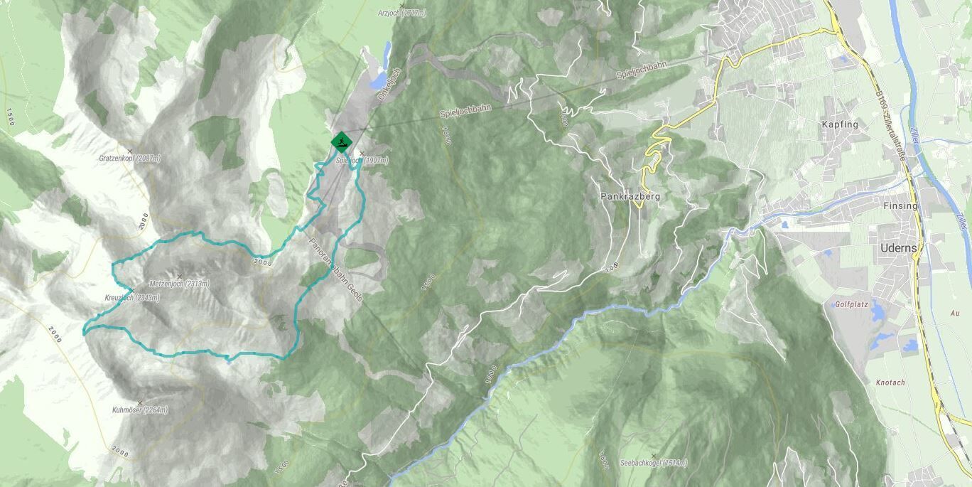
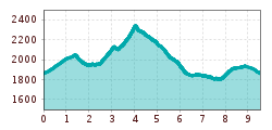
From the Spieljochbahn mountain station, you first follow the forest path for approx. 200 m up to the Geols
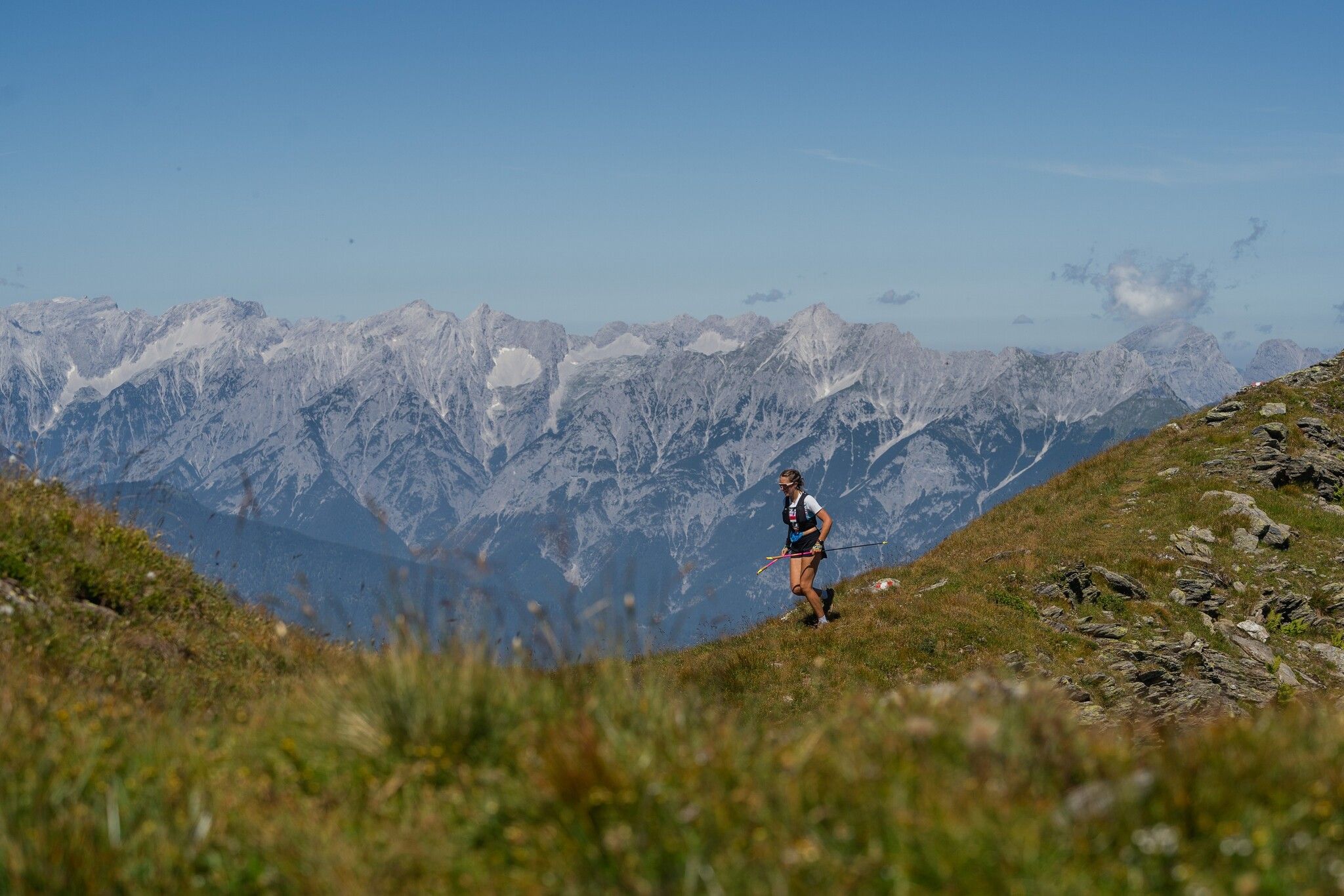
mountain station. Now branch off onto the alpine trail and follow this on the north side of the Kellerjoch
up to the summit. Caution: although this section offers a magnificent view, you should take
be careful as the path is quite narrow in places. Once you have reached the famous Kellerjoch
chapel at the summit, you should take a moment to enjoy the fantastic view. With
good visibility, you can see as far as the Hohe TauernlFrom the summit, follow the path in the direction of the
Kellerjochhütte. At the hut, turn south again and walk down to the Gartalm. Via
The mountain trail then takes you back to the Spieljochbahn mountain station.
Tip: From the Gartalm, you can also continue along the "Höhenweg Spieljoch - Hochfügen" trail to Hochfügen.
to Hochfügen.
