Wild and romantic ascent to the Muttenjoch. From there with surefootedness to the Gstreinjöchl. Then a flowing descent with a stop at the Tribulaunhütte down to the valley!
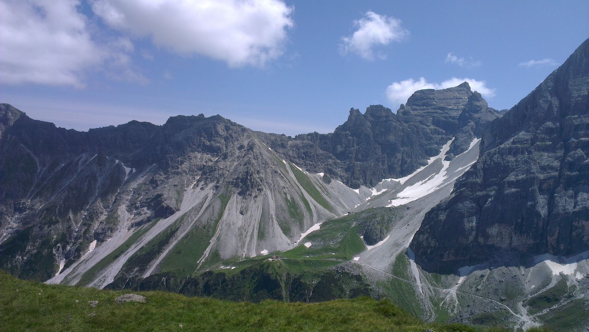
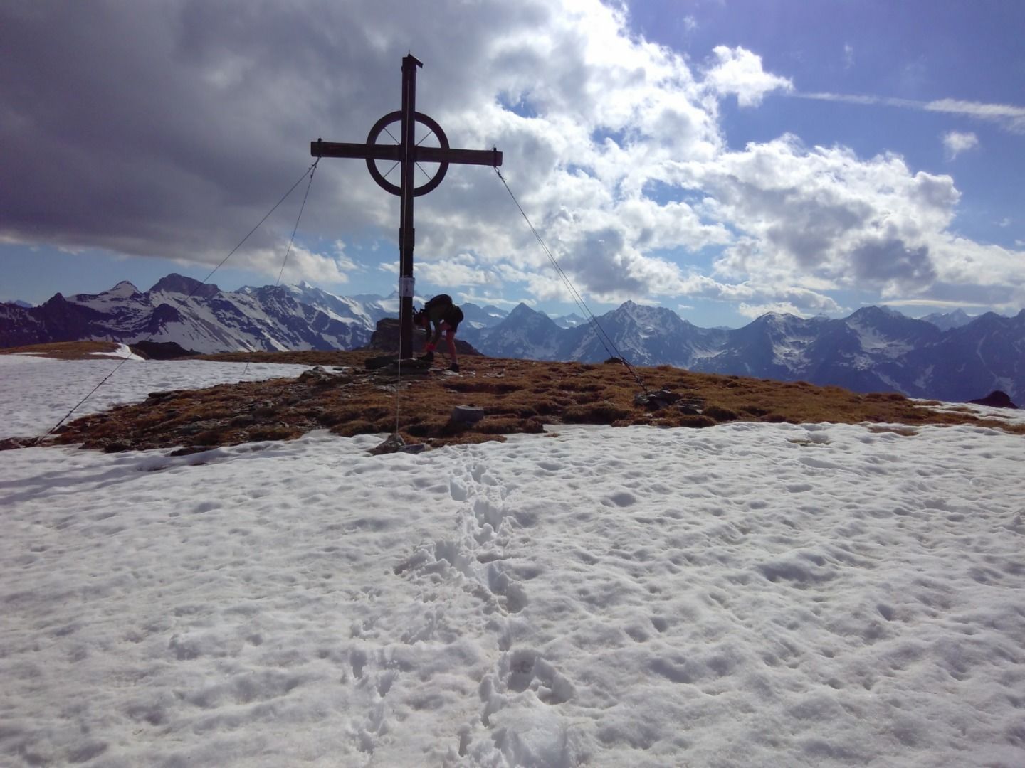
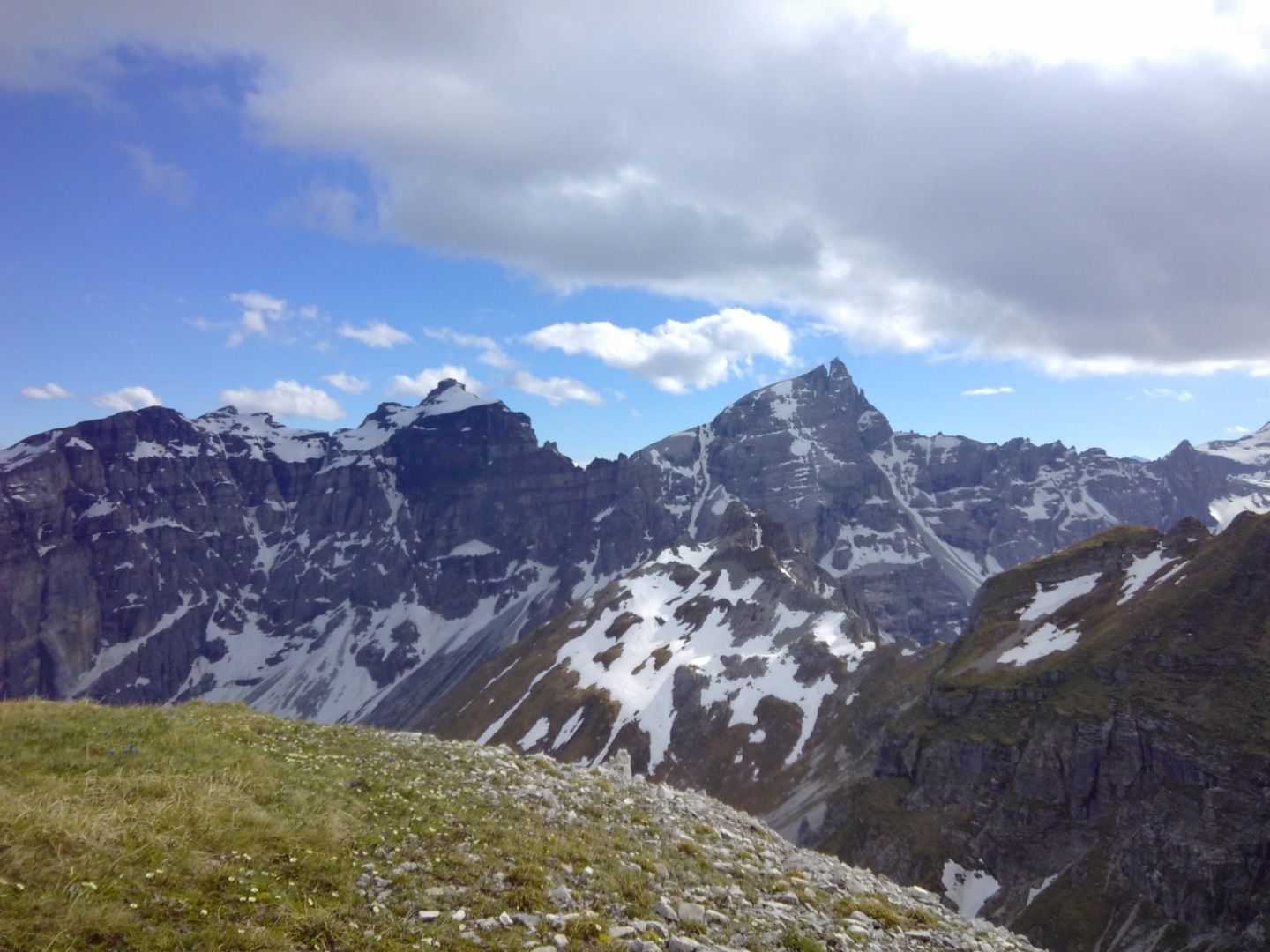
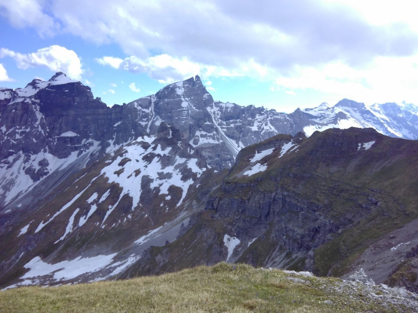
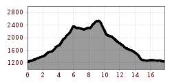
The starting point is the pavilion in Gschnitz. From there, directly over the wooden footbridge over the Gschnitzbach stream, half-left up the hill and always follow the trail. At its end, turn left and after about 300m half-right again towards St. Magdalena. Slowly climb, then cross the Martairbach stream onto the crossroads to St. Magdalena. Leave the path immediately and continue uphill towards the Muttenjoch. We ascend via the Martairalm and Wildgrube. If you are not afraid of a diversion and an additional 240 metres of altitude difference, you can also take the Muttenkopf from the Joch. From the Joch, the trail descends through the Vordere and Innere Wildgrube to the Gstreinjöchl. Caution: surefootedness is required here! From the Gstreinjöchl, the trail takes a nosedive to the Gschnitzer Tribulaunhütte. From there, a flowing descent to Gasthof Feuerstein in Gschnitz. After 500m on the road, turn right to the exit via forest paths and trails to the starting point.
