Arrival by public transport
Take the bus to the Matzelwald bus stop.
Circular route Matzlewald - Klausboden
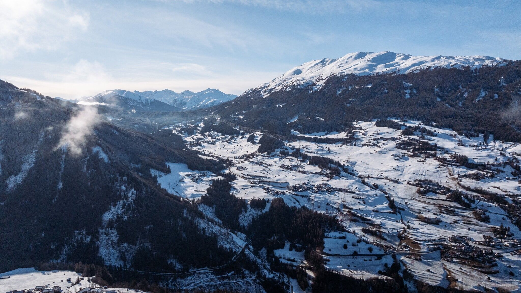
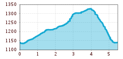
Start your walk from the Matzlewald bus stop. From there, hke in the direction of Matzlewald past a small sawmill. Continue to walk on the right on a forest road. After 50 metres turn right again and follow the signs to “Klausboden”. Enjoy the beautiful views of the surrounding hamlets before reaching a romantic woodland area. After crossing two bridges you reach the Klausboden recreational area. Turn left there, stay on the forest road for about 50 metres and then immediately left again following the signs for Matzlewald. The initially quite steep forest road becomes pleasantly flat again after approx. 100 metres and runs back to Matzlewald with a wonderful view of the wintry Venet mountain ridge.
Take the bus to the Matzelwald bus stop.
Piller Matzlewald car park
