Winter hike Elbigenalp - Duarfer field circuit

Elbigenalp / Allgäuer Alpen
Difficulty ratings: easy
Route length: 4.9 km
Duration: 1:30 h

Hike through Elbigenalp.

Tour information

  • Requirement: easy
  • Length: 4.9 km
  • Duration: 1:30 h
  • Elevation uphill:50 hm
  • Elevation downhill:48 hm
Highest point1,064 m

Starting point

Geierwally parking lot

Finishing point

Geierwally parking lot

Features

  • Circular route
  • Suitable for families

Best time of year

  • January
  • February
  • March
  • April
  • May
  • June
  • July
  • August
  • September
  • October
  • November
  • December

Equipment

Good equipment is essential for your hike. The following items should definitely be in your rucksack: - Food and drink - Functional clothing for rain, wind and cold - A change of clothes - Sun protection - First aid kit - Mobile phone with a full battery (Euro emergency number 112) - Hiking map or GPS - Hiking poles Nevertheless, the following applies: light luggage is also easier to carry, so you should not weigh down your rucksack with unnecessary ballast. In addition, your hiking equipment should of course also be adapted to your particular hiking tour.
Source: Lechtal-Reutte

Description

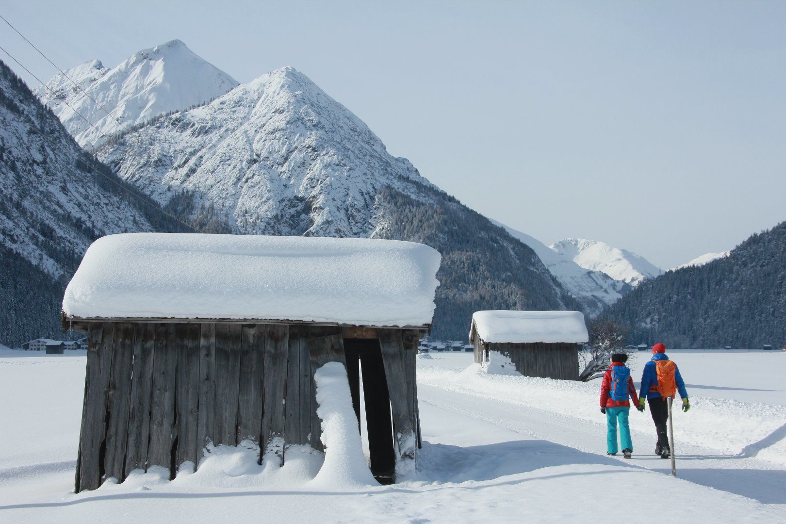
Firstly, turn your back on Elbigenalp and walk along the Bernhardbach stream down towards the Lech river. Now walk approx. 2 km upstream along the alluvial forest until you reach Brunnwasser. Here you cross the Lechtal road and reach the hamlet of Köglen. Once you have left Köglen behind you, you hike back to Elbigenalp. 
Then continue along the old village road to Gasthof Post, in the neighbourhood of which is the new local museum "Elbigenalper Wunderkammer". From here, walk back to the Geierwally car park.

Getting here

  • Arrival by public transport

    Regiobus stop Elbigenalp Hotel Alpenrose

  • Parking

    Geierwally parking lot, fee required

Newsletter

The mountain is calling? So does our newsletter!

In our monthly newsletter we reveal the best holiday tips for Tyrol.