
Opening hours:Open today
Place:Kartitsch
:Restaurant
Easy winter hike into the Erschbaumertal
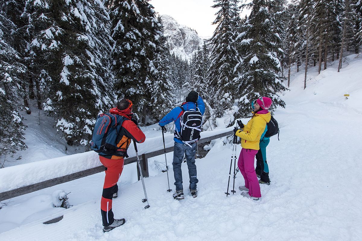
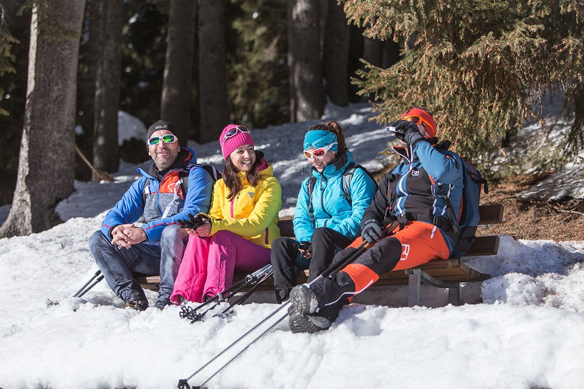
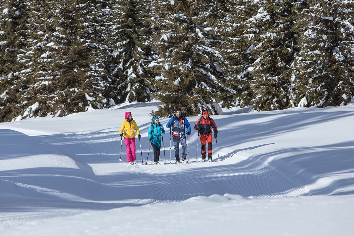
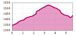
From the centre of Kartitsch you walk in a southerly direction to Neuwinkl. Upon arrival in Neuwinkl, you follow the path towards Erschbaumertal. After a short but easy ascent, the path continues relatively flat into the valley. Half way through Erschbaumertal, you can turn in the direction of Bachler-Höfe. From there you can ride back conveniently by postbus or continue the walk in the direction of Innerlerch (connection possibility: Innerlandweg). Alternatively, if you follow the Erschbaumertalweg you soon reach a wooden bridge. The maintained official hiking path leads a little further and then ends. It is an easy walk that does not take too long. End point: bus stop Bachler-Höfe or the Erschbaumertal end of the path. Connection possibility: Winklertalweg
Mit dem Bus bis zur Haltestelle "Kartitsch Gemeindeamt"
Parkplatz im Zentrum von Kartitsch


