
Opening hours:Open today
Place:Jerzens
:Restaurant, Tavern
Fire station – Ritzenried
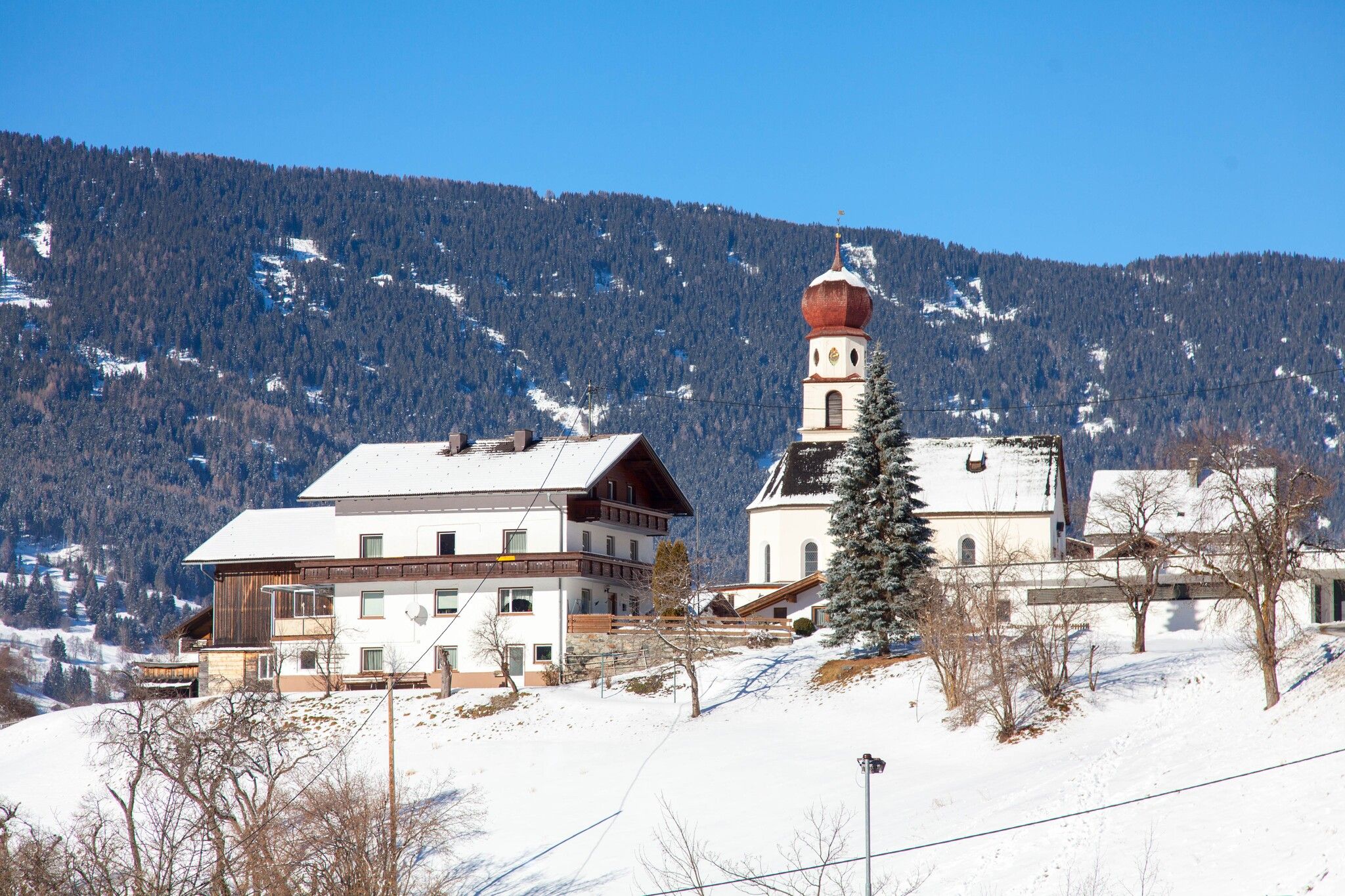
Starting point is on the opposite side of the fire station, on the right hand side of the Mühlbach stream. There is an easy ascent at the start of the walk, otherwise there are only minor gradients. At the first fork, follow the path on the right to the hamlet of Schön and then continue to Ritzenried. Follow the same way back to the starting point or take the Regiobus Pitztal. There are several options for a pub stop only a few minutes' walk from the starting or end point of this walk (Pitzloch, Restaurant Zirm and Hotel zum Lammwirt).
Take the bus to the Jerzens fire department stop.
Parking lot at Jerzens Church, approx. 100 meters from the starting point.


.jpg")
.jpg")
.jpg")


 Mirja Geh (26).jpg")


.jpg")
