Snowshoe hike Fronstadler Alm 2034 m

Strassen / Villgratner Berge
Difficulty ratings: medium
Route length: 7.6 km

Fronstadler Alm 2034 m

Tour information

  • Requirement: medium
  • Length: 7.6 km
  • Elevation uphill:800 hm
Highest point2,034 m

Starting point

Ortsteil Fronstadel

Finishing point

Fronstadler Alm
  • Fitness level 3 / 6
  • Technique 3 / 6

Best time of year

  • January
  • February
  • March
  • April
  • May
  • June
  • July
  • August
  • September
  • October
  • November
  • December
Source: Hochpustertal

Description


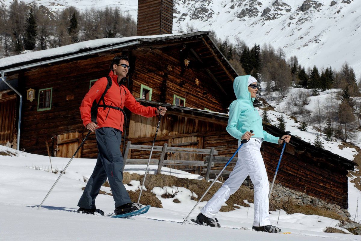
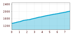
The entire Tessenberger Alm and Fronstadler Alm area is a high plateau and is very popular as a hiking area in its own right. Follow the woodland trail from Fronstadel near Strassen via several bends to Fronstadler Alm (not open).

Newsletter

The mountain is calling? So does our newsletter!

In our monthly newsletter we reveal the best holiday tips for Tyrol.