Parking
Parking in front of the multi-purpose hall of the Pinswang community.
Circular hike on the Fürstenweg through the quiet and sunny Unterpinswang.
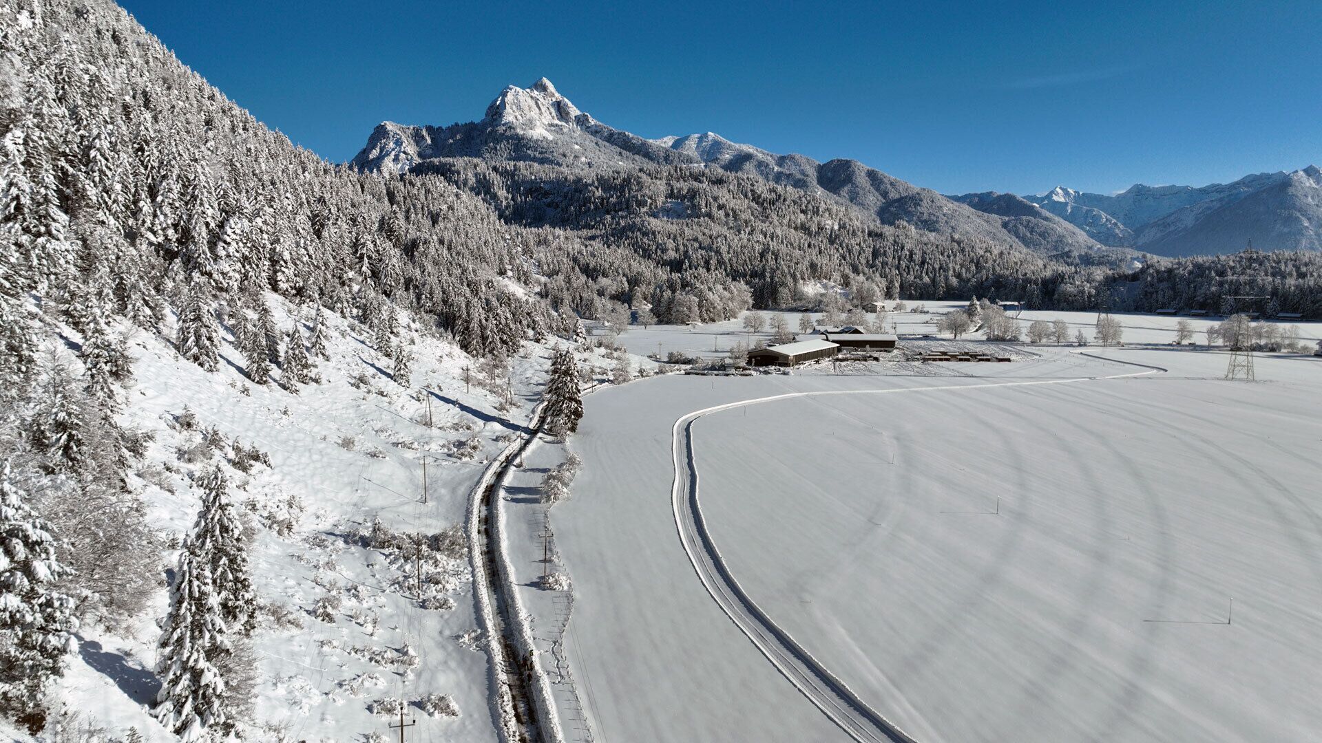
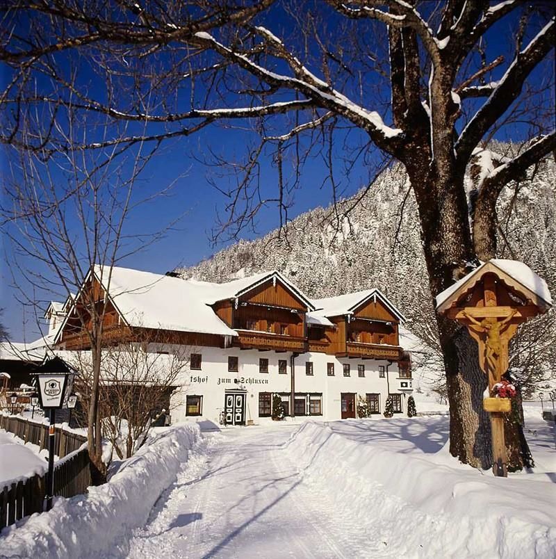
From the Pinswang municipal office, you pass the "Gutshof zum Schluxen" and along the edge of the forest via the "Stickekapelle" to the "Earschbach" below the "Burgschrofen" - in whose natural cave the cave castle "Schloss im Loch" was located more than 700 years ago. At this point the path crosses the old Roman road "Via Claudia Augusta", which ran from here over the western foothills of the "Schwarzenberg" to Füssen. The circular hiking trail through Unterpinswang continues through the "Römarsiedlung" (Roman settlement) to the picturesque baroque parish church of St. Ulrich. Past "Lindenplatz" with the village fountain and its two ancient linden trees, it goes back towards the starting point at the municipal office.
Parking in front of the multi-purpose hall of the Pinswang community.


