
Opening hours:Open today
Place:Kartitsch
:Restaurant
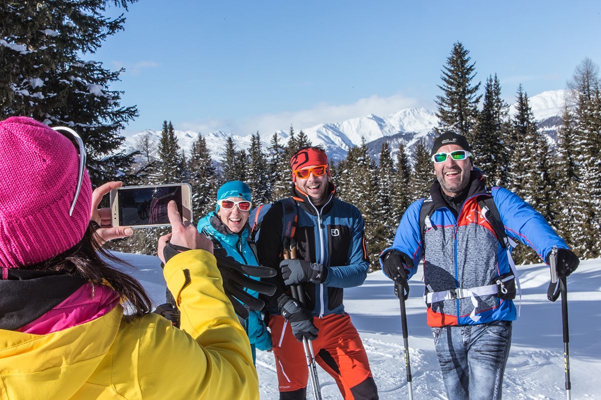
Easy winter circular hiking trail in Kartitsch
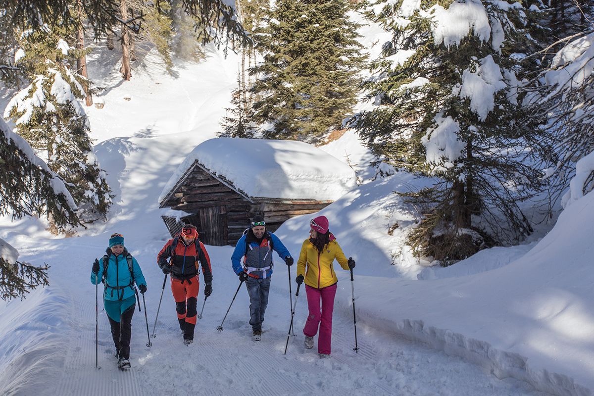
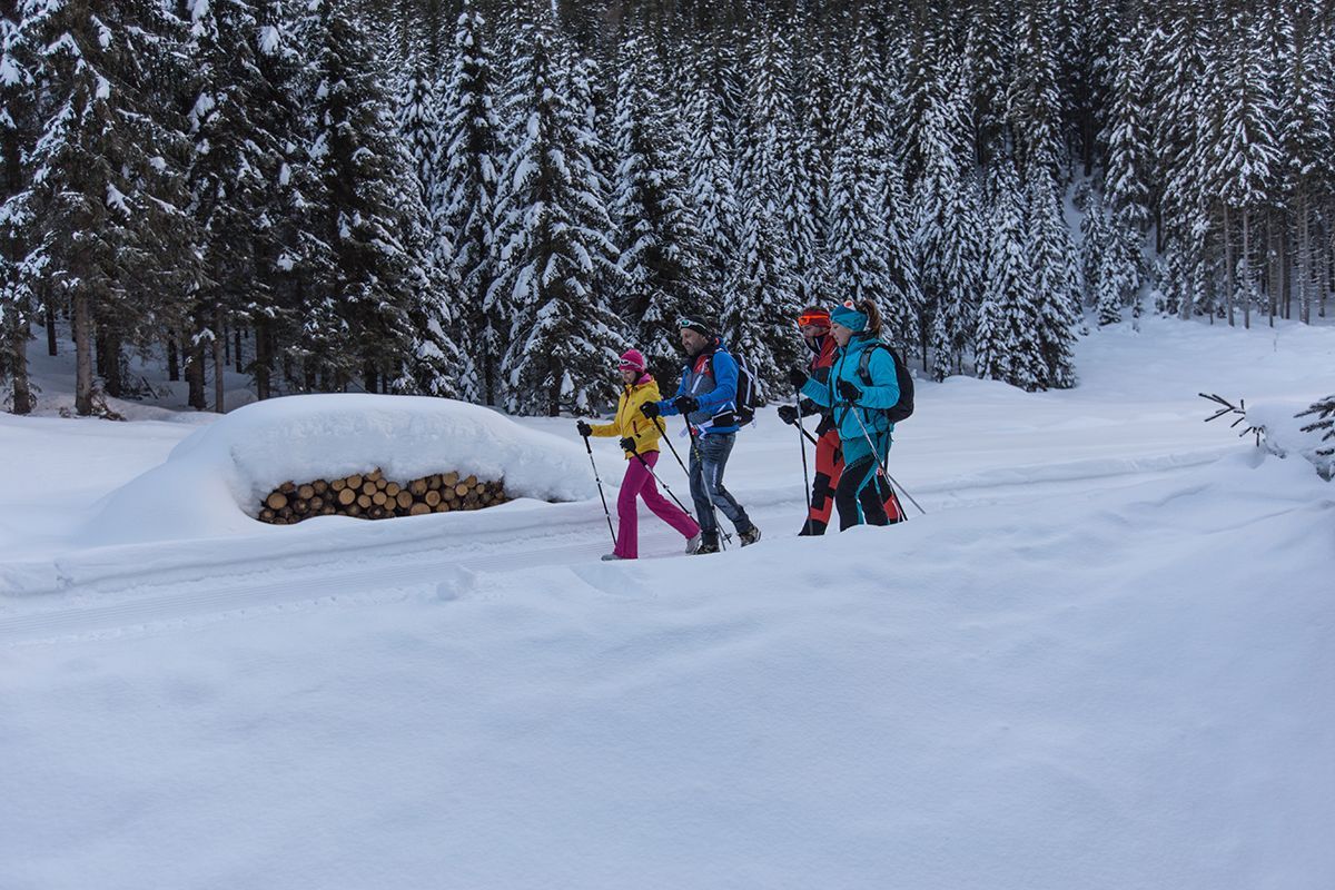
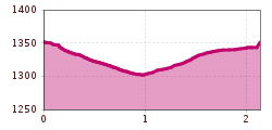
From the centre of Kartitsch you walk about 100 metres in a southerly direction to the Gailtal bridge. Just before the bridge, you branch right and walk all the Gailbach as far as the farms in Gail. Upon arrival, you cross the bridge and go left towards Kanterlift. From Kanterlift, the path leads between the Kanterhöfe across snowy fields in the direction of Winkl, where the path leads back to the Gailtal bridge and from there directly back to the centre. Along the way, 5 places with stories about the winter hiking and mountaineering village of Kartitsch invite you to rest and linger. A wildly romantic, easy and not too long walk! Connection possibilities:
Schustertalweg, Winklertal, Hollbruckertalweg
Mit dem Bus bis zur Haltestelle "Kartitsch Gemeindeamt"
Parkplatz im Zentrum von Kartitsch


