Snowshoe hike Kamelisenalm 1.973 m

Innervillgraten / Villgratner Berge
Difficulty ratings: easy
Route length: 5.8 km
Duration: 2:00 h

Kamelisenalm 1.973 m

Tour information

  • Requirement: easy
  • Length: 5.8 km
  • Duration: 2:00 h
  • Elevation uphill:225 hm
Highest point1,958 m

Starting point

Dorfzentrum Innervillgraten

Finishing point

Kamelisenalm
  • Fitness level 2 / 6
  • Technique 2 / 6

Best time of year

  • January
  • February
  • March
  • April
  • May
  • June
  • July
  • August
  • September
  • October
  • November
  • December
Source: Hochpustertal

Description

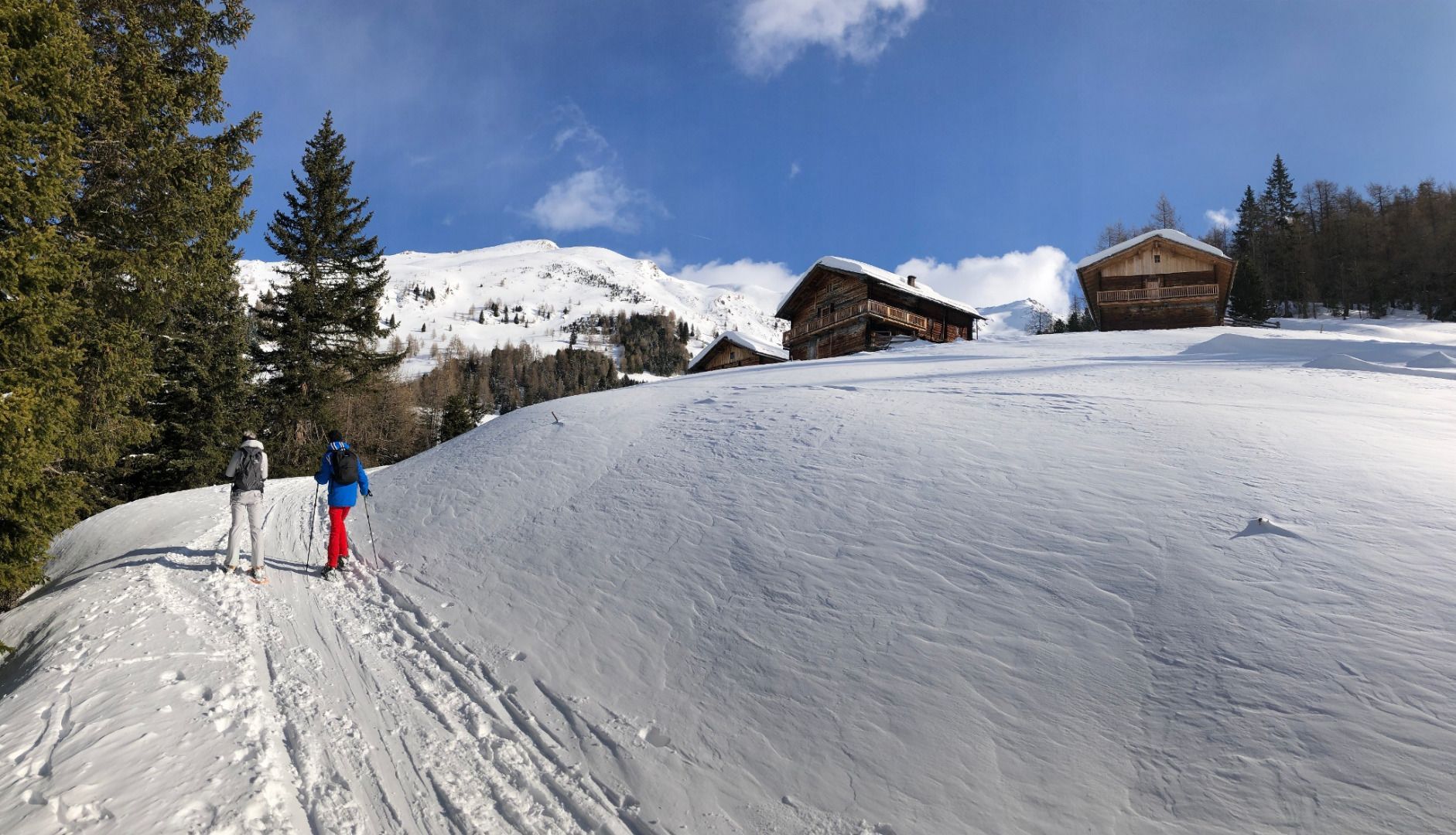
From the village centre to Einettal via the municipal road to the junction for Höggerhöfe. Continue via the cleared winter hiking trail until just before Thaletalm, where you bear left to the Berglethöfen – and Gasserhöfen. At Gasserhöfen continue on the municipal path, past Bachlet – and Schettlethöfen. Follow the route on snow-shoes now to the Kamelisenalm. (When there is not much snow, this route is also suitable without snowshoes.)

Getting here

  • Parking

    Parkplatz Schettlett

Newsletter

The mountain is calling? So does our newsletter!

In our monthly newsletter we reveal the best holiday tips for Tyrol.