
Opening hours:Open today
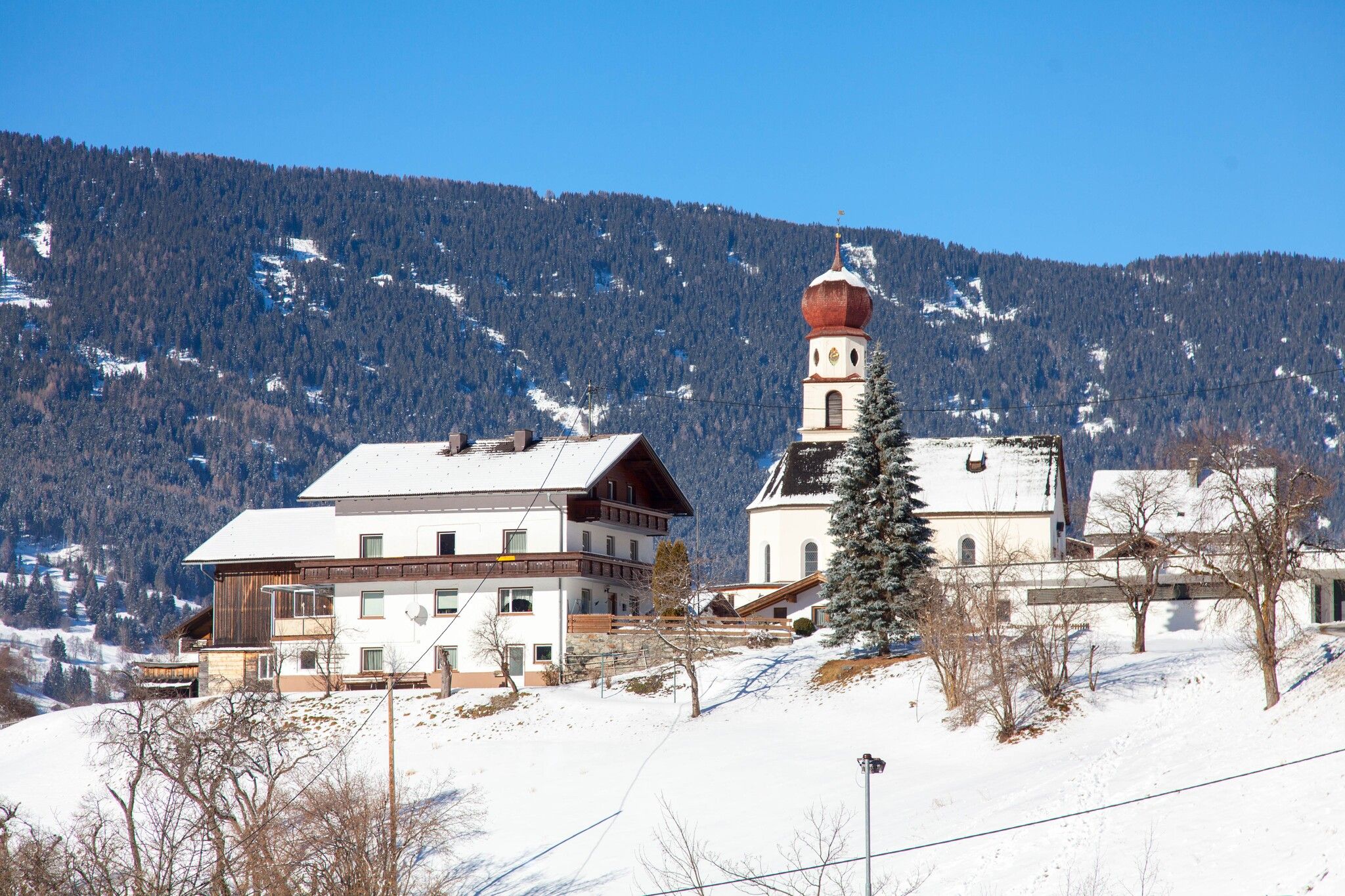
Place:Jerzens
:Restaurant, Tavern
Large hike through Jerzens village
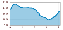
The starting point is opposite the fire station, to the right of the river Mühlbach. At the beginning of the trail there is a slight ascent, most of the part there are low slopes. At the first fork follow the path on the right until you reach the hamlet of Schön. There you follow the signs (Schönlarch) and cross the Pitztaler Landesstraße. Via a path you reach the hamlet of Schönlarch. At the car dealer Reinstalder, cross the Pitztaler Landesstraße again and return to the starting point at the fire station via the hamlet "Niederhof".
Take the bus to the Jerzens fire department stop.
Parking lot at Jerzens Church, approx. 100 meters from the starting point.


