Winter hike Schneerosental Path - Breitenbach

Breitenbach am Inn / Brandenberger Alpen (Rofan)
Difficulty ratings: medium
Route length: 5.4 km
Duration: 1:30 h

Easy hiking route leading through the picturesque and tranquil countryside alongside the Moosbach (stream) and the cross-country trail.

Tour information

  • Requirement: medium
  • Length: 5.4 km
  • Duration: 1:30 h
  • Elevation uphill:38 hm
  • Elevation downhill:38 hm
Highest point604 m

Starting point

Breitenbach, Schönau

Finishing point

Breitenbach, Schönau
  • Fitness level 3 / 6
  • Technique 1 / 6

Best time of year

  • January
  • February
  • March
  • April
  • May
  • June
  • July
  • August
  • September
  • October
  • November
  • December

Equipment

sturdy footwear
Source: Alpbachtal

Description

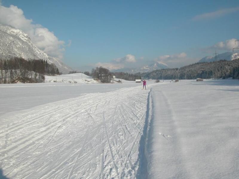
Starting from the Schönau car park (opposite house no. 87) walk in a southerly direction. After the bridge, turn left and follow path no. 6. The path leads straight ahead through the Schneerosental. Upon reaching a tarred road crossing through the Schneerosental turn left after approx. 300 m and left again and continue along the road to the starting point. This walk is an easy walk through tranquil and beautiful scenery.

Getting here

  • Parking

    Cross-country skiing and winter hiking car park Schönau

Newsletter

The mountain is calling? So does our newsletter!

In our monthly newsletter we reveal the best holiday tips for Tyrol.