
Opening hours:Today closed
Place:Westendorf
:Restaurant
A beautiful snow shoe hike away from the hustle and bustle!!
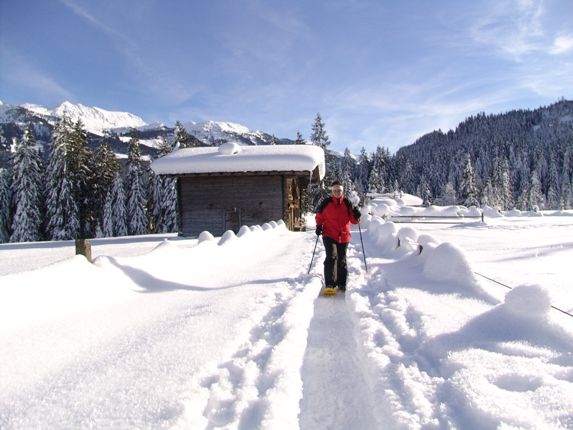
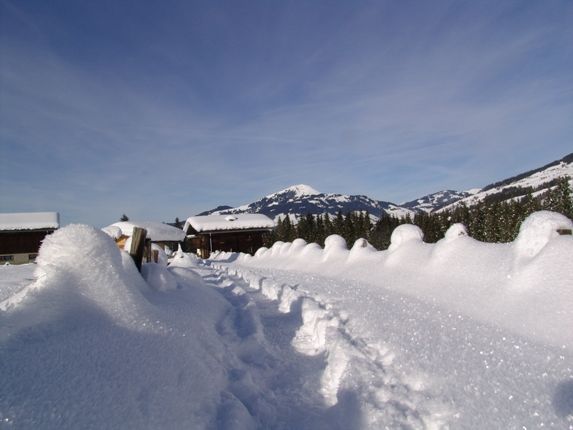
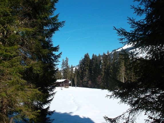
For this tour it is recommended to drive to the “Unterwindau” area in Westendorf where there are numerous parking opportunities between the Lendwirt and the sawmill. After the sawmill, we arrive at four small houses which also signify the end of the road ie. the end point of the snow clearing maintenance and which is also the starting point of our snow shoe hike. So put on your snow shoes and let’s discover the Windau Valley’s magnificent, dreamy Winter landscape. Just before the bridge we hike to the right, uphill, alongside a small frozen stream until we reach a high plateau. A narrow forest path to our right leads us to a large open space, in the middle of which are several farm buildings – “Straubing”. Here there are mountain pastures in Summer and tasty dairy products served and in Winter an isolated farm where you can relax and dream! We walk a short distance towards the valley, cross a stream and continue a short distance uphill until we reach a wider track. From here we walk along snow-cleared Winter hiking paths, downhill, to the Gasthaus Jägerhäusl, a traditional inn. Our route takes us to the left and along the often bizarrely frozen Windauer Ache (mountain stream) out of the valley to our departure point. (The trail along the Ache is a snow-cleared Winter hiking route!)
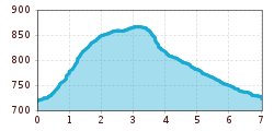
Info: In Summer this circular hiking route is the Hiking Route No. 6!
nearby Lendwirt

