Winter hike Sonnbichl winter circular route

Söll / Kitzbüheler Alpen
Route length: 3.0 km
Duration: 1:00 h

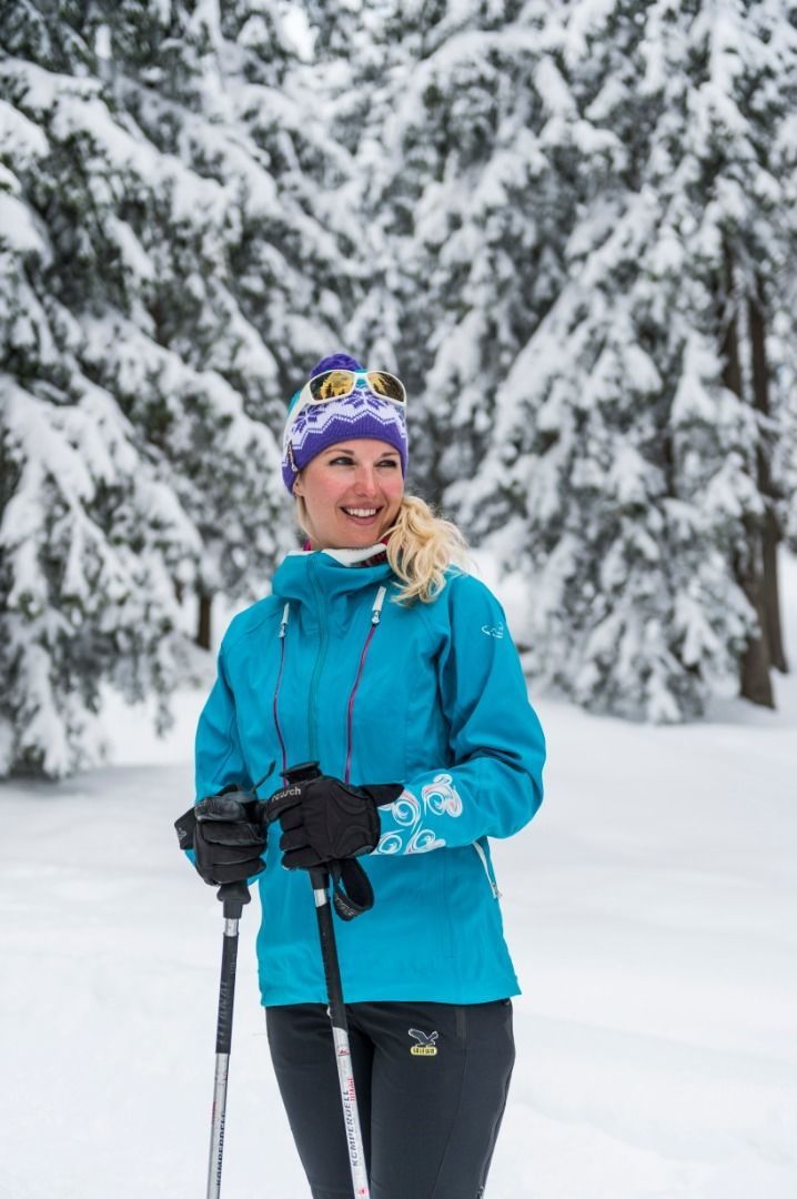
Mystical winter tour through the Schnapflwald forest

Tour information

  • Length: 3.0 km
  • Duration: 1:00 h
  • Elevation uphill:40 hm
  • Elevation downhill:40 hm
Highest point733 m

Starting point

Hiking starting point Tourist Info, Söll (689 m)

Finishing point

Hiking starting point Tourist Info, Söll (689 m)
  • Fitness level 1 / 6
  • Technique 1 / 6

Features

  • Circular route
  • Suitable for families

Best time of year

  • January
  • February
  • March
  • April
  • May
  • June
  • July
  • August
  • September
  • October
  • November
  • December

Trail condition

The composition of the trail varies between asphalt, path, forest trail.

Equipment

Sturdy mountaineering boots with anti-slip treaded soles (waterproof), weather-appropriate outdoor gear (breathable) incl. a change of clothes, sun protection (sunglasses, sun cream, lip protection, headgear), waterproofs (rain jacket/poncho, pocket umbrella, rucksack protector), cold protection (hat, gloves), mobile phone with fully charged battery, plastic bag for waste, hiking map, route description and information materials (GPX track), ID card, insurance card, cash
Source: Wilder Kaiser

Description

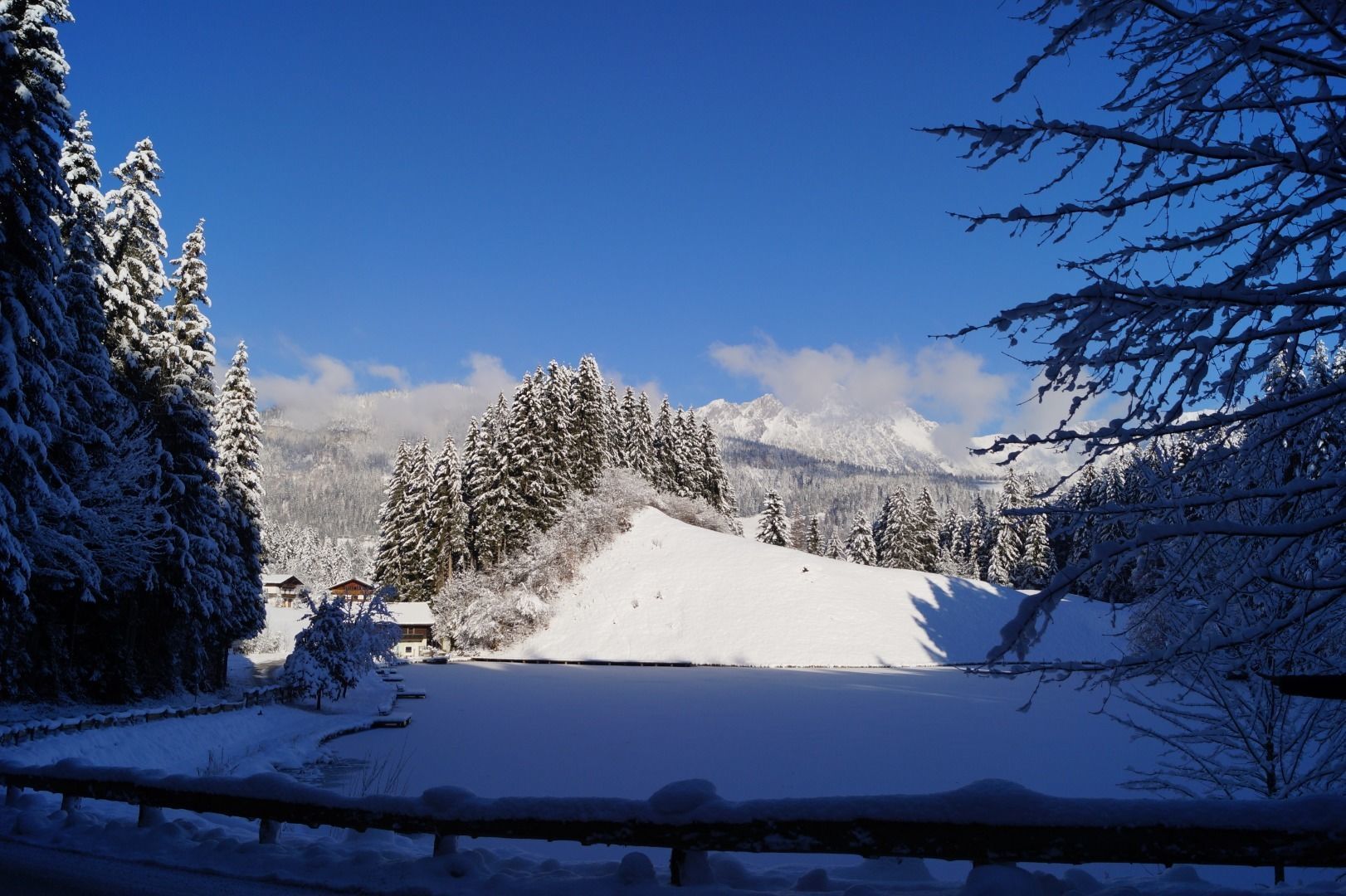
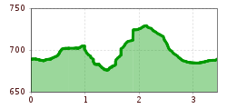
The starting point is the hiking starting point in front of the Söll tourist information office. From here, walk straight across the village square past the Vidum, Krummerei and Feldwebel. Turn left at the Dorfstubn, past the Chiaro di Luna and then right over the bridge along the narrow path by the Hausbach stream. Once you reach the elementary school, walk up the Sonnbichl and follow the signs towards Schnapflhof. From here, enjoy the wonderful view of the village and the snow-covered Hohe Salve before turning left after the farm into the untouched nature of the Schnapflwald forest. From here, the uncleared winter hiking trail begins over a steep section down towards the Moorsee lake. Continue past the snow-covered lake until you reach the Moorsee inn. From there, a signpost leads you left into the forest path in the direction of Franzlhof and then back to the village.

Nearby huts and mountain restaurants

Getting here

  • Arrival by public transport

    KaiserJet/Postbus stop “Söll Dorf”. More information at: www.wilderkaiser.info

  • Parking

    West Pölven public car park, Söll (689 m) – free

More tours in the surrounding area

Newsletter

The mountain is calling? So does our newsletter!

In our monthly newsletter we reveal the best holiday tips for Tyrol.