Arrival by public transport
Take the regional bus 100 or 101 to the stop "Pinswang Gemeindeamt". The timetable and stops can be found at www.vvt.at.
Royal circular hike from Pinswang to the castles of Hohenschwangau and Neuschwanstein on to the Lechfall.
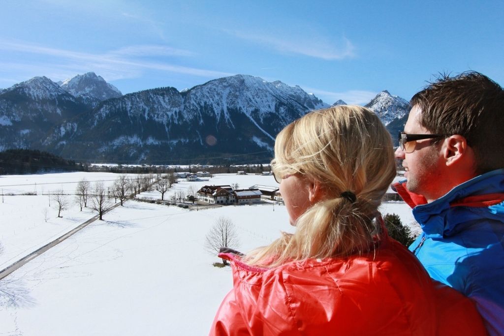
The Royal circular hike from Pinswang offers the opportunity to experience beautiful forest paths, romantic lakes and world-famous sights.
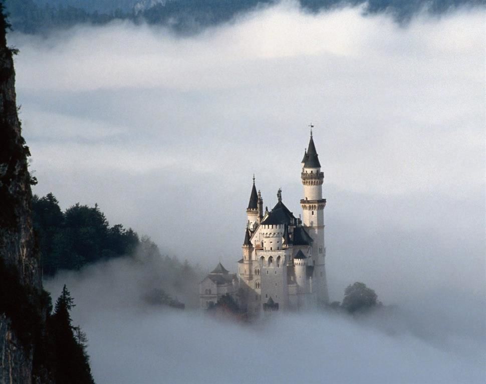
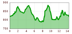
The almost 15-kilometer circular hike starts at the municipal office in Pinswang. Passing the Gutshof zum Schluxen, the path leads on the historic Fürstenstrasse up to the boundary stone at the Schwangau lattice. We continue through the forest down to the Alpsee, one of the most beautiful mountain lakes in the Bavarian Alps. During the hike along the lake, the first glimpses of the world-famous fairytale castle of King Ludwig II of Bavaria, Neuschwanstein Castle, will open up. In Hohenschwangau, you have the opportunity to visit the Museum of the Bavarian Kings or the two castles.
The circular hiking trail continues from Hohenschwangau on the Königsstrasse along the Schwansee through the forest adventure center on the Kalvarienberg. After a short way down, the path reaches the impressive Lechfall near Füssen.
Past the Treetop Walk - the circuit crosses the German-Austrian border again and leads on the old Roman road Via Claudia Augusta back to Pinswang.
At the foot of the Burgschrofen - in whose natural cave the cave castle "Schloss im Loch" was located more than 700 years ago - it goes along the edge of the forest back to the starting point at the municipal office.
Take the regional bus 100 or 101 to the stop "Pinswang Gemeindeamt". The timetable and stops can be found at www.vvt.at.
Parking in front of the multi-purpose hall of the Pinswang community.


