Winter hike Urisee - Archbach - Hüttenmühlsee Panorama hike

Pflach / Ammergauer Alpen
Difficulty ratings: easy
Route length: 4.7 km
Duration: 1:30 h

A varied hike from the Urisee along the Archbach and around the Hüttenmühlsee

Tour information

  • Requirement: easy
  • Length: 4.7 km
  • Duration: 1:30 h
  • Elevation uphill:71 hm
Highest point914 m

Starting point

Parkplatz Urisee

Finishing point

Parkplatz Urisee
  • Fitness level 1 / 6
  • Technique 2 / 6

Features

  • Circular route
  • Suitable for families

Best time of year

  • January
  • February
  • March
  • April
  • May
  • June
  • July
  • August
  • September
  • October
  • November
  • December

Trail condition

Easy hiking trail, partly asphalt, partly gravel

Equipment

Light Hiking Equipment, hiking sticks
Source: Naturparkregion Reutte

Description

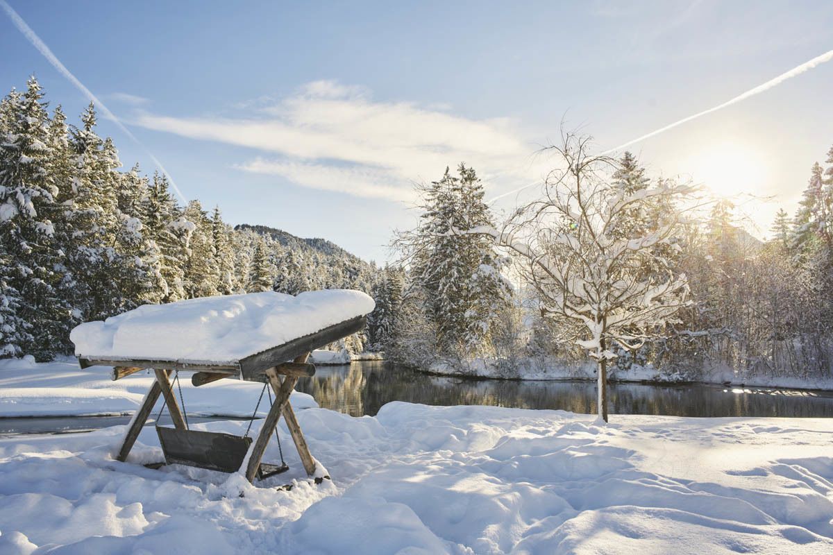
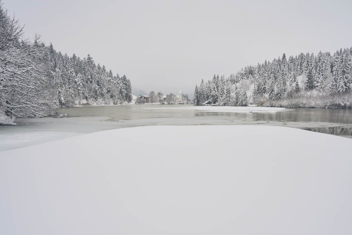
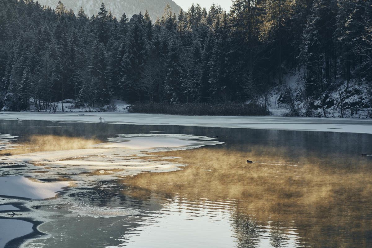
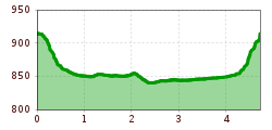
The hike begins at the Urisee car park. The path passes under federal highway 179 and leads through the forest from the lake down towards the village of Mühl. The path now follows the Archbach to the north. Many different birds, ducks and swans can be observed around the Hüttenmühlsee.

When you arrive at the Hüttenmühle, the path continues over a small bridge spanning the Archbach. Along the lake and past the plague chapel, the circle-hike closes before the last climb back to the Urisee.

Nearby huts and mountain restaurants

Getting here

  • Arrival by public transport

    Take the regional bus 3 to the stop "Breitenwang Abzw Urisee". The timetable and stops can be found at www.vvt.at

  • Parking

    Urisee parking lot

More tours in the surrounding area

Newsletter

The mountain is calling? So does our newsletter!

In our monthly newsletter we reveal the best holiday tips for Tyrol.