
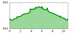
Difficulty:
medium
Length:
6.6 km
Duration:
2:30 h
Elevation uphill:
348 m
Hike along the Vils river from Vils to Pfronten
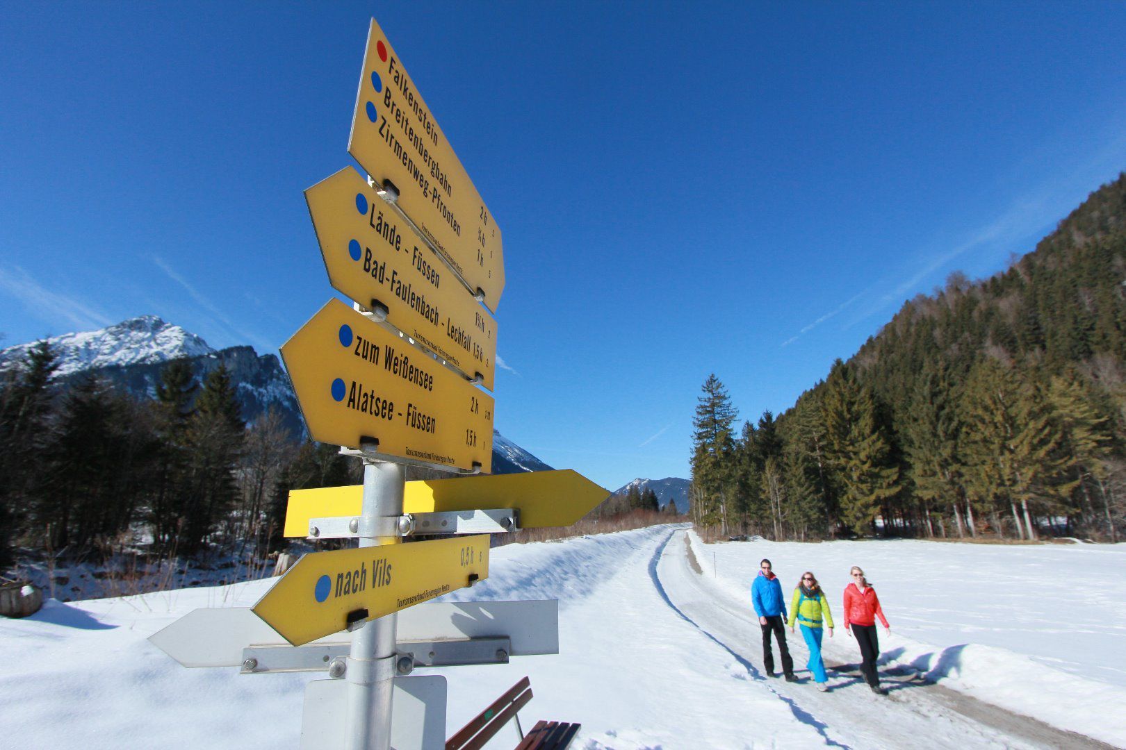
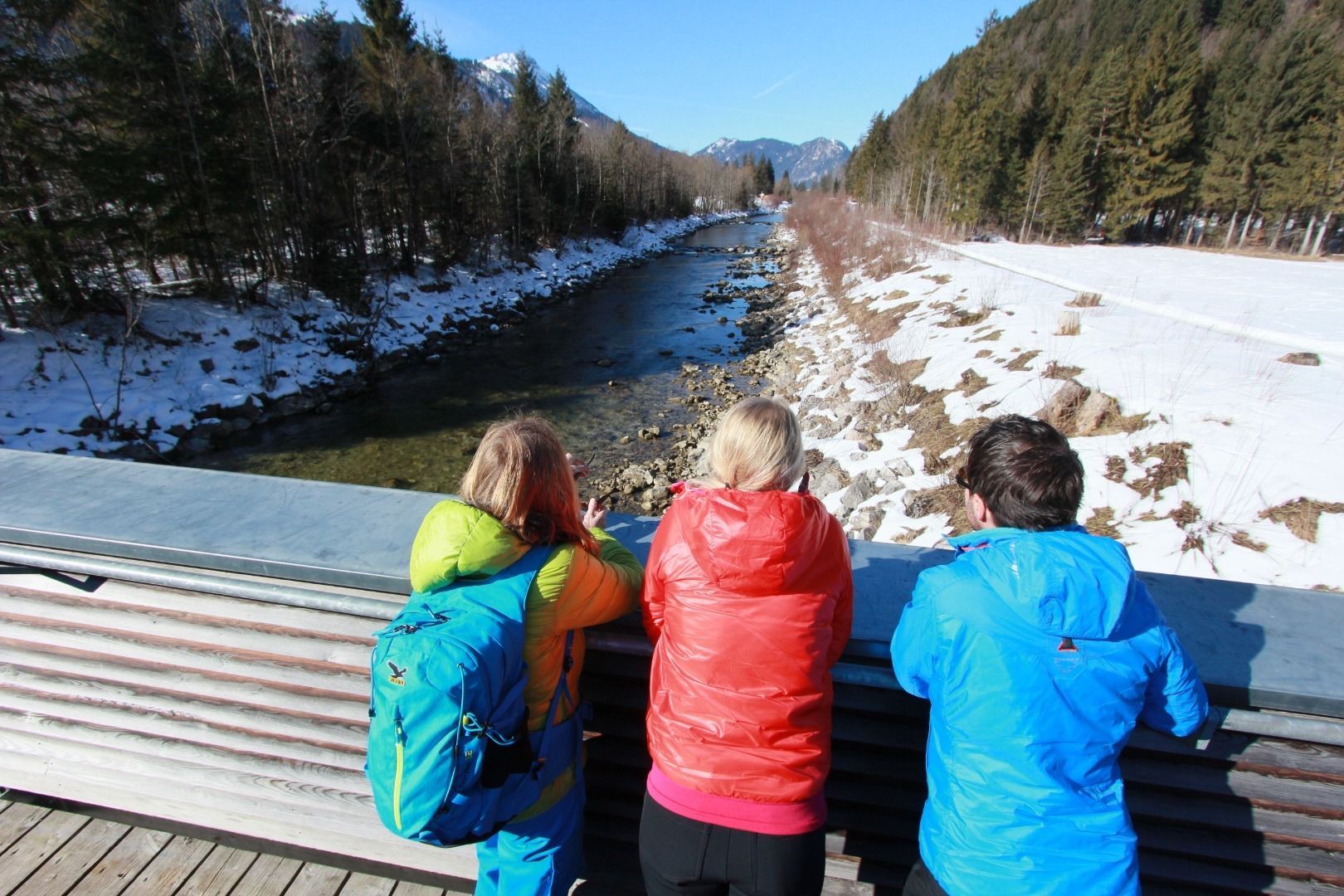
The hike starts at the sports field in Vils and leads on a gravel path along the Vils (river) over the state border to Pfronten (Germany). The path leads below the Vilseck ruins, past St. Anna's Church, the old hammer mill and a bird-watching tower at the Celtic tree circle. This consists of 22 different tree species, to which human characteristics have been assigned. The respective date of birth can be used to find out which tree and character traits are ascribed to you. The Celtic tree circle - or "educational tree trail" - is also intended to deepen knowledge about the native trees in a playful way.
After arriving at the Pfronten-Steinach train station, you can either walk or take the train back to Vils.

